Corridor Mapping With a Fixed-Wing Platform
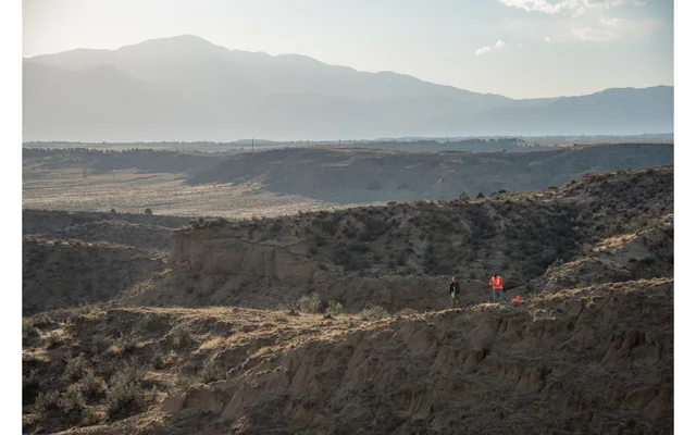
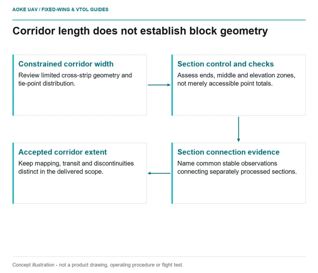
Review long narrow fixed-wing surveys for cross-strip geometry, control access and representative independent checks, not only route length.
GAUTEN UAV / TOPIC ARCHIVE
Review long narrow fixed-wing surveys for cross-strip geometry, control access and representative independent checks, not only route length.
Treat terrain-relative camera height, image scale and terrain clearance as distinct questions when planning long fixed-wing survey lines.
Image: U.S. Geological Survey, National Uncrewed Systems Office (individual photographer not credited on asset page) / public-domain. Resized for this page.
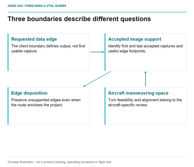
Separate the requested data boundary from the space and stable acquisition conditions a large fixed-wing survey needs around it.
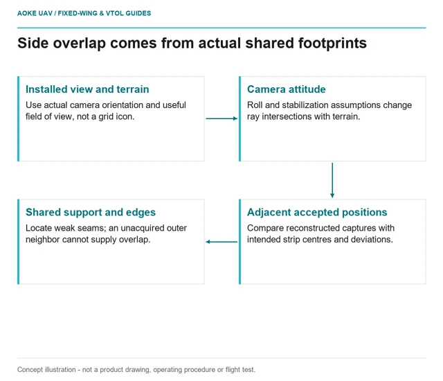
Evaluate cross-track image support from the actual installed orientation, terrain and strip positions rather than the nominal mapping grid.
Keep observation dates, coordinate epochs and transformation provenance separate before interpreting differences between repeat UAV surveys.
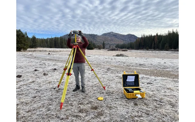
Image: U.S. Geological Survey, National Uncrewed Systems Office (individual photographer not credited on asset page) / public-domain. Resized for this page.
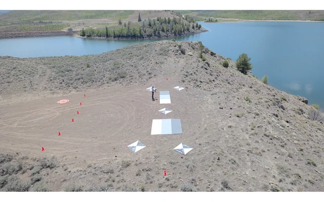
Check panel identity, illumination, usable pixels and dataset linkage before treating a preflight photograph as calibration evidence.
Image: U.S. Geological Survey, National Uncrewed Systems Office (individual photographer not credited on asset page) / public-domain. Resized for this page.
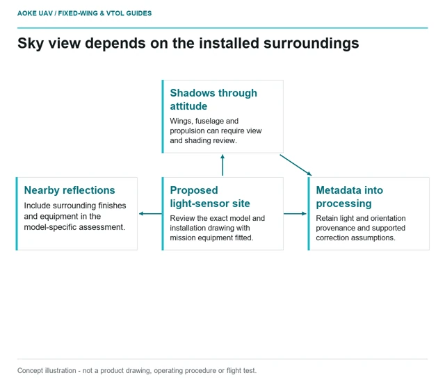
Review sky view, aircraft shading, nearby finishes and orientation metadata using the exact downwelling-sensor installation manual.
Investigate illumination transitions against raw imagery and metadata before treating a seam-free fixed-wing mosaic as radiometrically consistent.
Image: U.S. Geological Survey, National Uncrewed Systems Office (individual photographer not credited on asset page) / public-domain. Resized for this page.
Record sun and view geometry before interpreting tonal differences between repeat fixed-wing observations as physical surface change.
Image: U.S. Geological Survey, National Uncrewed Systems Office (individual photographer not credited on asset page) / public-domain. Resized for this page.
Track sensor, calibration, processing and field context before interpreting seasonal multispectral differences from repeat UAV campaigns.
Image: U.S. Geological Survey, National Uncrewed Systems Office (individual photographer not credited on asset page) / public-domain. Resized for this page.