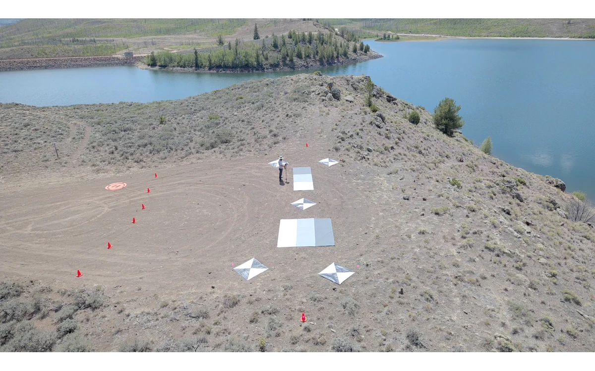
Repeat imagery can look different without proving that the surface changed. In a hypothetical large fixed-wing civil land survey, the same site is observed on two occasions with different sun positions and different strip headings. The analyst sees tonal differences on otherwise familiar surfaces. Before assigning those differences to land condition, the review should ask how illumination and viewing geometry affected the observation.
Illumination and viewing geometry
USGS describes the bidirectional reflection distribution function as a relationship involving incoming light direction, outgoing observation direction and wavelength. Its calibration discussion warns that Earth’s surfaces do not all behave like ideal Lambertian reflectors: measured reflectance can vary with solar and viewing angles. That is a reason to document acquisition geometry, not a universal correction formula for every land cover. [1]
For this hypothetical fixed-wing survey, preserve acquisition times, camera orientation information and strip layout for both campaigns. Ask how the delivered mosaic selected observations where several images covered the same surface. A common map projection does not, by itself, establish equivalent viewing conditions. Treat the comparison as a measurement question rather than an exercise in matching display colors.
Directional surface response
The USGS report identifies idealized surface behavior as an assumption underlying empirical-line methods. It also explains that calibration targets need characterized spectral and directional properties. A well-documented panel therefore supports a calibration method without proving that every surface in the flight block responds to light like the panel. [1]
In the example review, identify which surfaces and comparison questions matter to the civil project. Avoid assuming that a visually stable patch is an invariant reference just because it is convenient. Ask whether its viewing and illumination differences are relevant to the required interpretation. No material-specific directional correction or allowable sun-angle difference is proposed here, because the selected surface model and validation evidence have not been supplied.
A large fixed-wing aircraft can acquire the block through multiple strips, so the proposed review should retain observation provenance within the mosaic. If a feature is taken from one side of an image in one campaign and a different view in another, record that as a comparison question rather than silently treating the two pixel values as equivalent measurements.
Make acquisition-time consistency deliberate
For a future repeat collection, the project team could seek more comparable time and viewing conditions within the actual aircraft’s approved operating constraints. The objective would be to reduce avoidable differences, not to guarantee identical illumination by repeating a clock time. Document conditions that were actually observed rather than only the planned schedule.
As a model-specific example, the RedEdge-MX/DLS 2 guide describes sun-angle and ambient-light information in image metadata. Such records can help explain the observation context when the applicable processing workflow supports them. The guide does not claim that a light sensor removes every directional effect of the imaged surface. [2]
State interpretation limits in repeat datasets
The proposed handover would pair comparison outputs with a geometry summary, calibration identity and unresolved differences. Have the analyst distinguish a measured image-value difference from a demonstrated physical change. Inspect original bands and repeat observations before deciding whether an apparent change supports the civil monitoring question. Keep any field observations used to support that interpretation connected to place and time.
If directional comparability is not established, narrow the conclusion. The dataset might support locating an area for further review while not supporting the requested quantitative trend. That is more informative than labeling every tonal change deterioration or applying an undocumented normalization until the maps match.
The useful fixed-wing deliverable makes the observation geometry inspectable and the interpretation conditional on evidence. Radiometric calibration, similar acquisition planning and field context are complementary parts of that explanation. None should be replaced by a claim that the same sensor and the same nominal resolution necessarily observed the same surface response.
Related reading
- Seasonal Comparability in Multispectral UAV Surveys
- Registration Error in Repeat Inspection Datasets
Sources
- [1] Guidelines for Calibration of Uncrewed Aircraft Systems Imagery
- [2] MicaSense RedEdge-MX and DLS 2 Integration Guide
Visual summary
Concept illustration
Read diagram notes
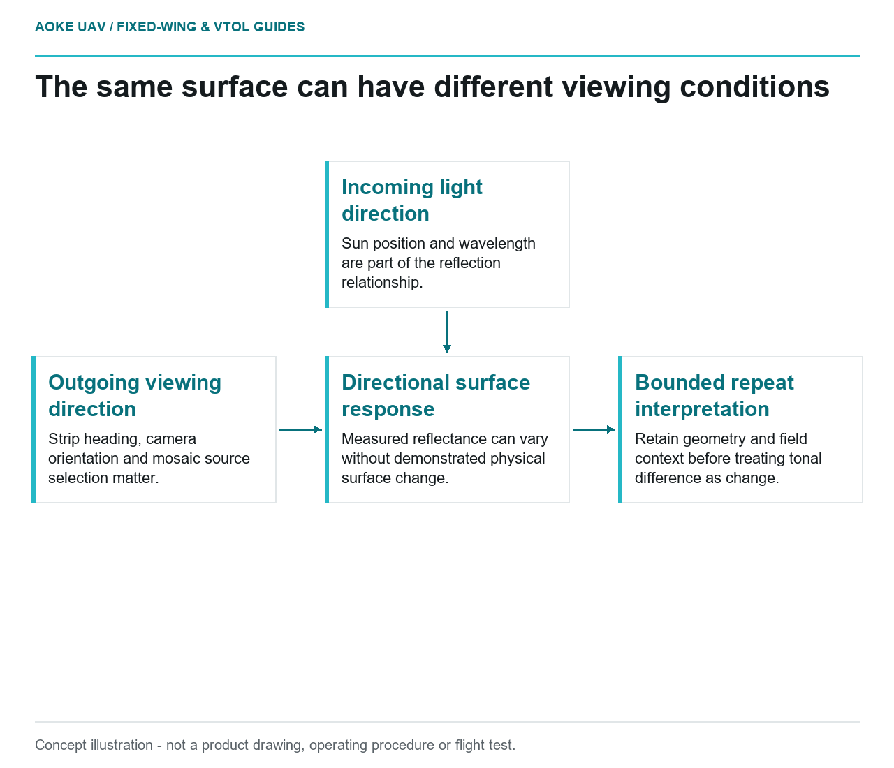
- Incoming light direction: Sun position and wavelength are part of the reflection relationship.
- Outgoing viewing direction: Strip heading, camera orientation and mosaic source selection matter.
- Directional surface response: Measured reflectance can vary without demonstrated physical surface change.
- Bounded repeat interpretation: Retain geometry and field context before treating tonal difference as change.