Ground Reference Planning for Access-Limited Corridors
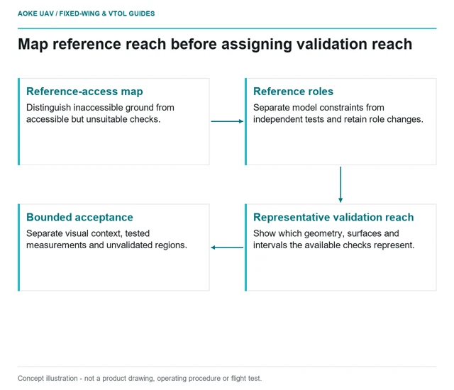
Access-limited corridor projects should disclose where independent reference evidence is missing rather than extending accuracy claims beyond tested conditions.
GAUTEN UAV / TOPIC ARCHIVE
Access-limited corridor projects should disclose where independent reference evidence is missing rather than extending accuracy claims beyond tested conditions.
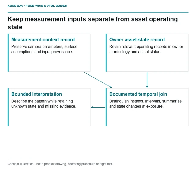
Thermal observations need external asset-state records with clear timing and provenance; imagery alone should not fill in unknown operating conditions.
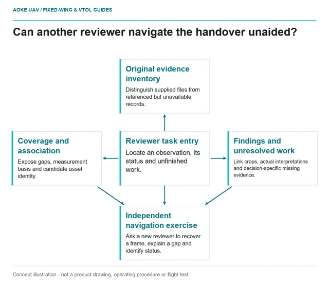
A civil inspection handover should let the client recover original evidence, understand usable coverage and distinguish reviewed findings from unresolved questions.
Separate corridor-scale reconnaissance from the views and evidence needed for an asset-specific inspection, including explicit records of what remains unseen.
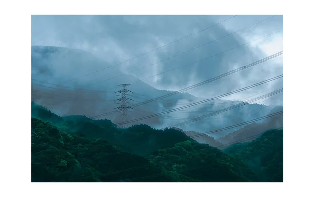
Image: Charles Devaux (mclytir) / CC0. Resized for this page.
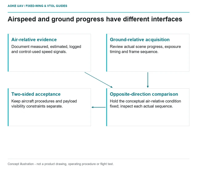
Airspeed belongs to aircraft control; ground progress belongs to the image-acquisition problem. Keep the two constraints separate when scoping corridor evidence.
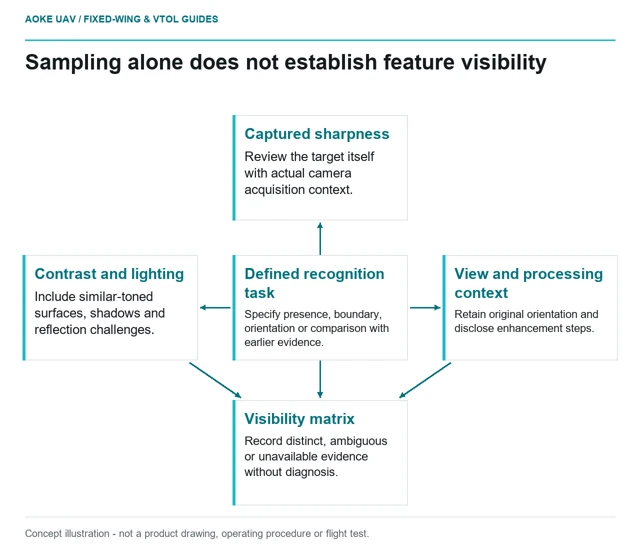
Adequate sampling does not guarantee that a small feature is distinguishable. Evaluate contrast, exposure, orientation and original-frame evidence before claiming visibility.
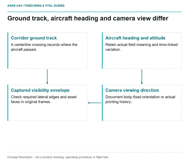
A corridor centerline is not the camera's visibility envelope. Review heading, ground track, camera orientation and the actual captured asset views separately.
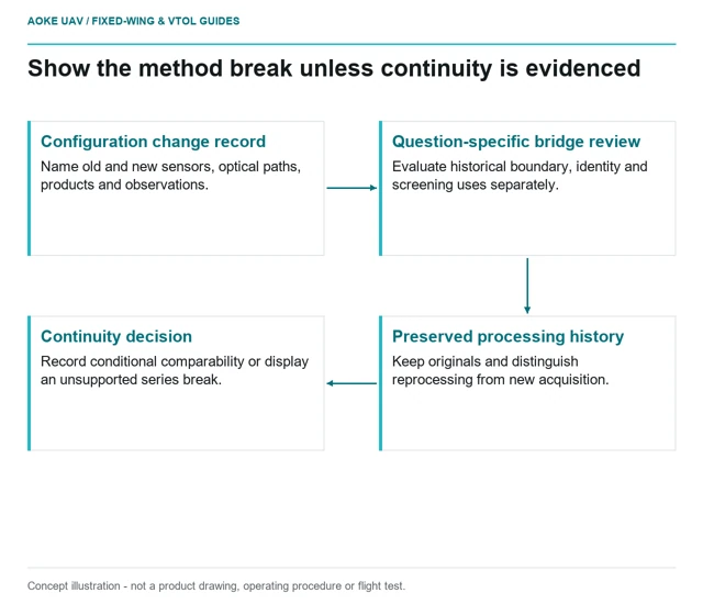
A sensor or processing change creates a new measurement configuration; historical trends need explicit comparability evidence rather than assumed continuity.
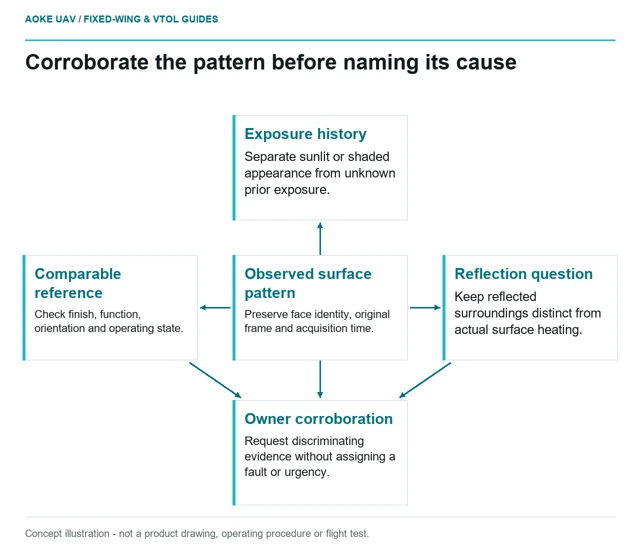
Environmental heat gain can complicate a thermal finding. Separate surface exposure, operating state and reflected radiation before assigning a cause.
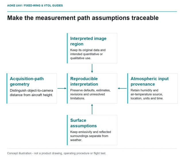
An airborne thermal record needs the measurement path and environmental inputs, with clear treatment of defaults, estimates and missing information.