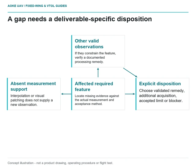
Deciding Which Survey Gaps Require Reacquisition
Reacquisition decisions should connect each known data gap to required deliverables, available evidence and a documented acceptance or collection scope.
GAUTEN UAV / TOPIC ARCHIVE
Reacquisition decisions should connect each known data gap to required deliverables, available evidence and a documented acceptance or collection scope.
Cross-band registration review uses original band images, stable edges and processing records to test whether multispectral pixels describe the same location.
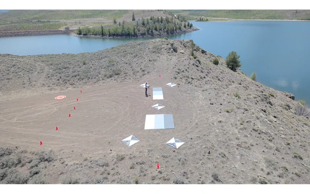
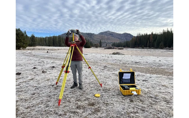
Image: U.S. Geological Survey, National Uncrewed Systems Office (individual photographer not credited on asset page) / public-domain. Resized for this page.
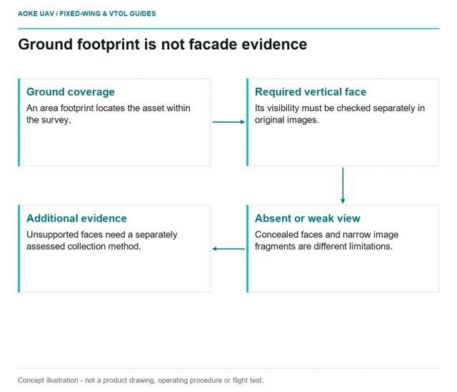
A nadir area map can cover a footprint without observing the vertical faces a civil inspection requires; visibility must be checked feature by feature.
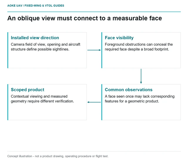
Adding an oblique camera changes the observation and integration problem; view direction, overlap, installed references and acceptance evidence need separate review.
A bare-earth claim needs evidence of ground observations and classification beneath vegetation, not merely a smooth canopy model or a sensor label.
Image: U.S. Geological Survey, National Uncrewed Systems Office (individual creator not credited on asset page) / public-domain. Resized for this page.
Image coverage over water does not establish a measured water surface or depth; suitability depends on observable features and independent validation.
Image: U.S. Geological Survey, National Uncrewed Systems Office (individual photographer not credited on asset page) / public-domain. Resized for this page.
A trajectory-quality review links solution indicators and interruptions to acquisition events, reference-station provenance and independent product checks.
Image: U.S. Geological Survey, National Uncrewed Systems Office (individual photographer not credited on asset page) / public-domain. Resized for this page.
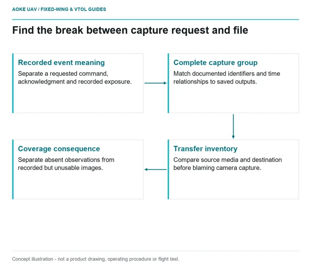
Reconciling intended triggers, recorded capture groups and file timestamps separates acquisition gaps from later processing failures.
A survey tender becomes testable when deliverables, reference definitions, payload configuration and independent acceptance evidence replace brochure-level promises.
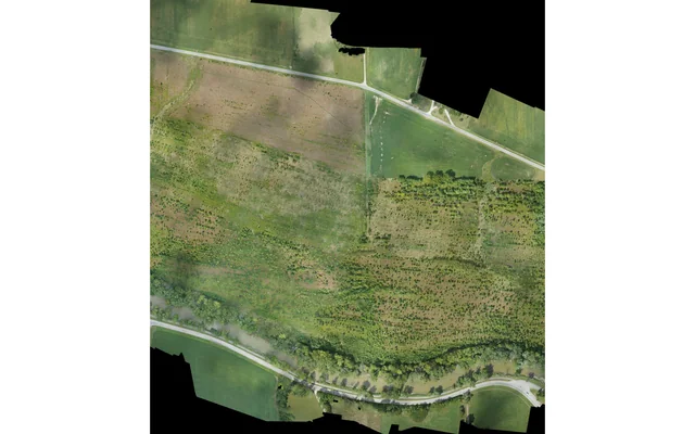
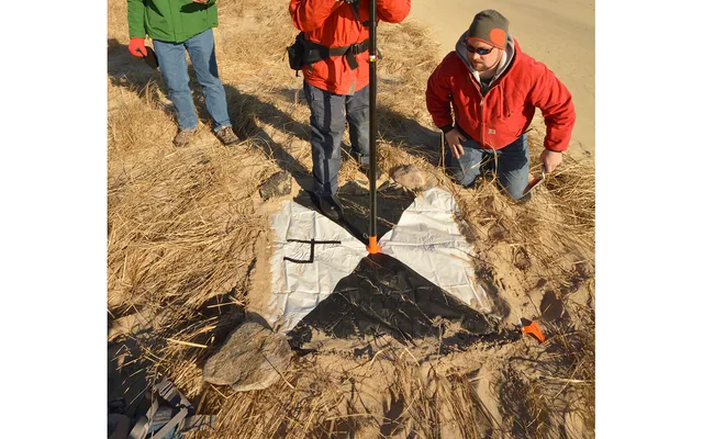
Image: Dann Blackwood / U.S. Geological Survey / public-domain. Resized and cropped.
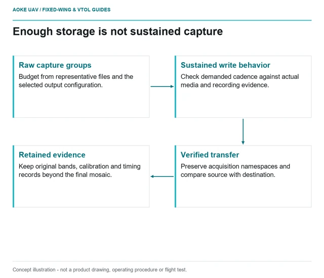
Survey storage planning needs an end-to-end budget for sustained capture, working copies, retained raw files and verified transfer—not capacity alone.