Vibration and Image Quality in Fixed-Wing Payloads
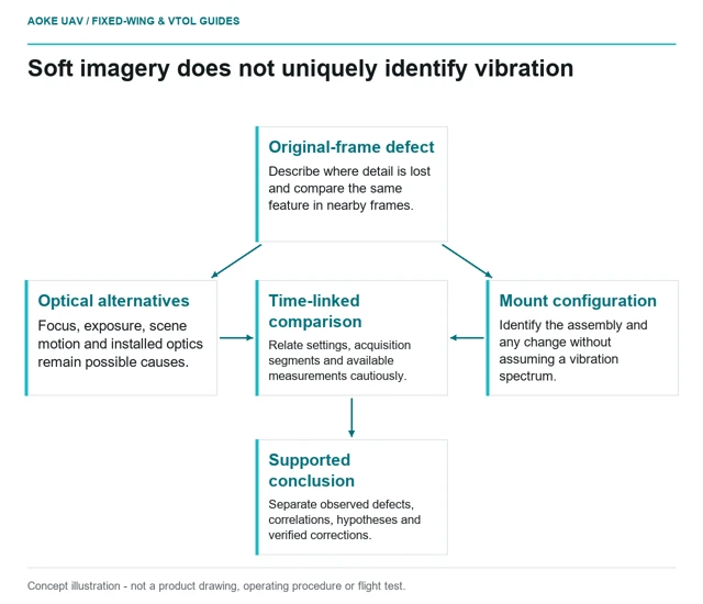
Raw image sequences and configuration records can frame a vibration investigation without mistaking every blurred frame for a mounting fault.
GAUTEN UAV / TOPIC ARCHIVE
Raw image sequences and configuration records can frame a vibration investigation without mistaking every blurred frame for a mounting fault.
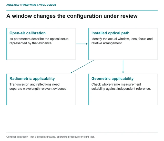
An installed camera window raises optical-path and calibration-applicability questions that an open-air camera certificate cannot settle alone.
A survey payload-bay review connects the installed view, mounting interfaces, power and data paths with calibration and service access before procurement.
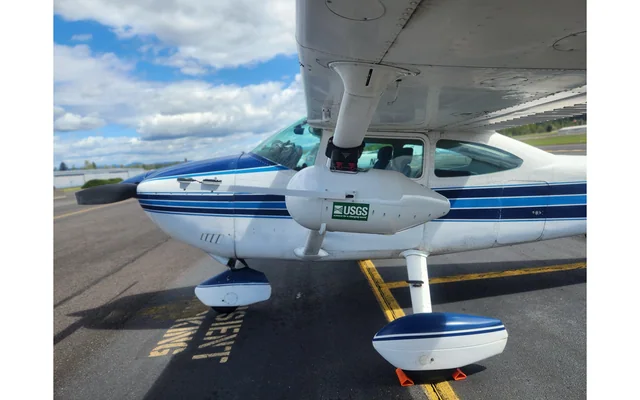
Image: U.S. Geological Survey, Oregon Water Science Center (individual photographer not credited on asset page) / public-domain. Resized for this page.
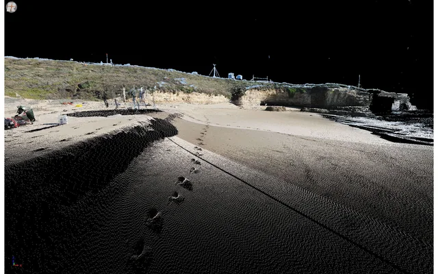
LiDAR strip agreement measures internal consistency; independent checkpoints test whether the dataset also agrees with an external reference.
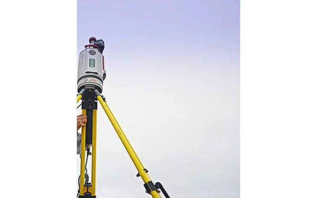
Image: Amy West / U.S. Geological Survey / public-domain. Resized and cropped.
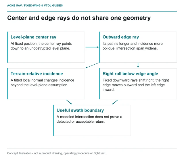
A bounded center-to-edge comparison shows how range, incidence and aircraft roll change LiDAR intersections and the useful swath in fixed-wing integration.
A point-density average does not establish local coverage, ground observations or accuracy; usable LiDAR evidence needs spatial and classification review.
Image: Josh Logan / U.S. Geological Survey / public-domain. Resized for this page.
Sensor selection starts with the required feature and deliverable, then tests acquisition geometry, integration constraints and independent quality evidence.
Image: Amy West / U.S. Geological Survey / public-domain. Resized and cropped.
A vegetation-index map needs calibrated, aligned bands and field context before its patterns can support an agricultural interpretation.
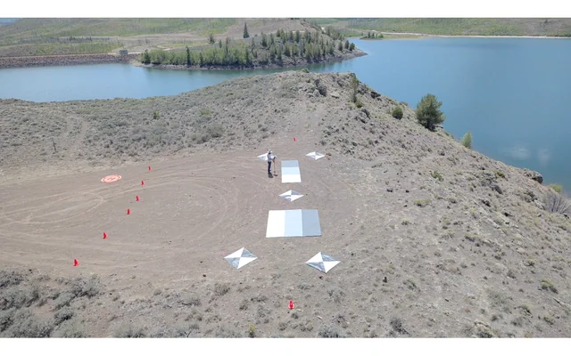
Image: U.S. Geological Survey, National Uncrewed Systems Office (individual photographer not credited on asset page) / public-domain. Resized for this page.