 Surveying & Mapping
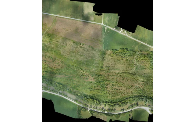
A survey handover needs linked acquisition, calibration, reference and processing records so another team can audit the exact delivered product.
Image: U.S. Geological Survey, National Uncrewed Systems Office (individual creator not credited on asset page) / public-domain. Resized for this page.
 Surveying & Mapping
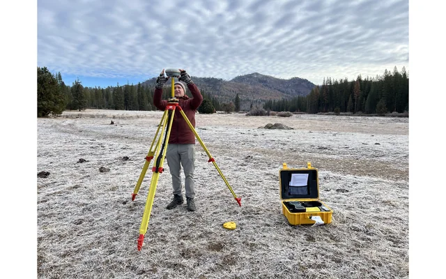
Resolve height references, geoid-model identity and transformation history before adjusting disagreement between UAV and project elevations.
Image: U.S. Geological Survey, National Uncrewed Systems Office (individual photographer not credited on asset page) / public-domain. Resized for this page.
 Surveying & Mapping
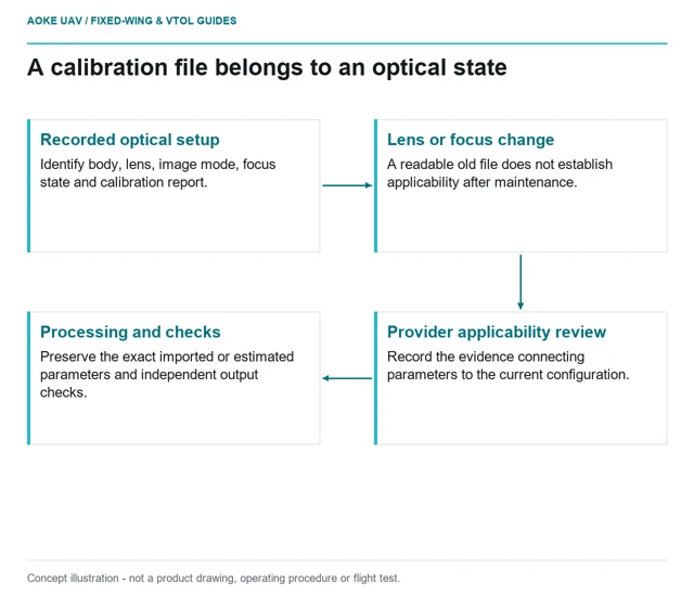
Connect lens, focus state and calibration files to the actual installed survey camera before reusing an earlier mapping workflow.
 Surveying & Mapping
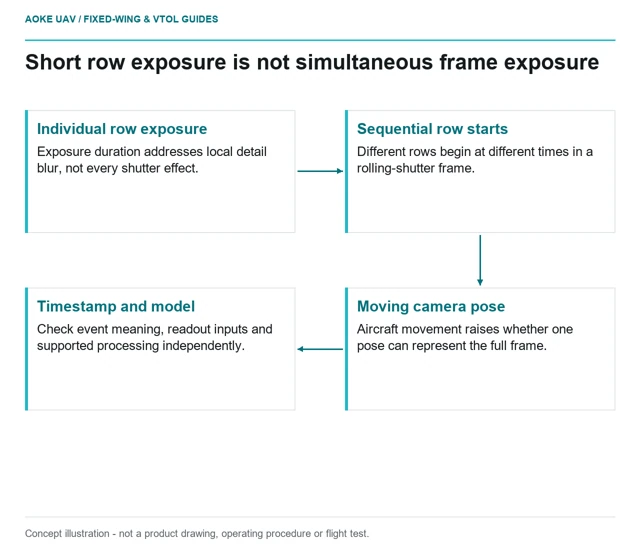
Separate exposure duration from frame readout, then verify that the chosen camera mode and processing model support the mapping task.
 Surveying & Mapping
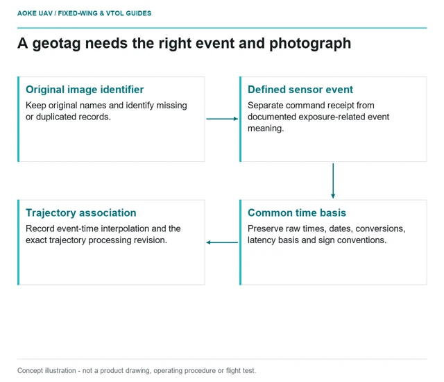
Trace camera commands, exposure-related events and navigation timestamps before relying on precise-looking image geotags.
 Surveying & Mapping
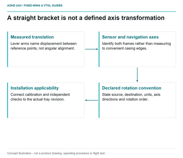
Separate angular alignment from lever-arm measurement, and document whether calibration still applies after a fixed-wing payload is remounted.
 Surveying & Mapping
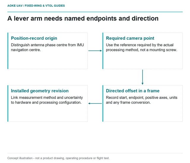
Define lever-arm endpoints, axes and installed geometry before treating a navigation position as a survey camera position.
 Surveying & Mapping
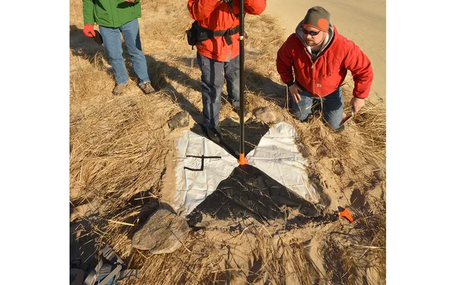
Precise camera-position records are an input to mapping, not independent proof that timing, orientation, calibration and final-product accuracy are correct.
Image: Dann Blackwood / U.S. Geological Survey / public-domain. Resized and cropped.
Surveying & Mapping
Keep independent reference observations distinct from adjustment control and report what the checks actually test in the delivered product.
Image: Dann Blackwood / U.S. Geological Survey / public-domain. Resized and cropped.
Surveying & Mapping
Judge control by its survey quality, spatial distribution and image support across the large fixed-wing mapping block, not its count alone.
Image: Dann Blackwood / U.S. Geological Survey / public-domain. Resized and cropped.