Concept illustration
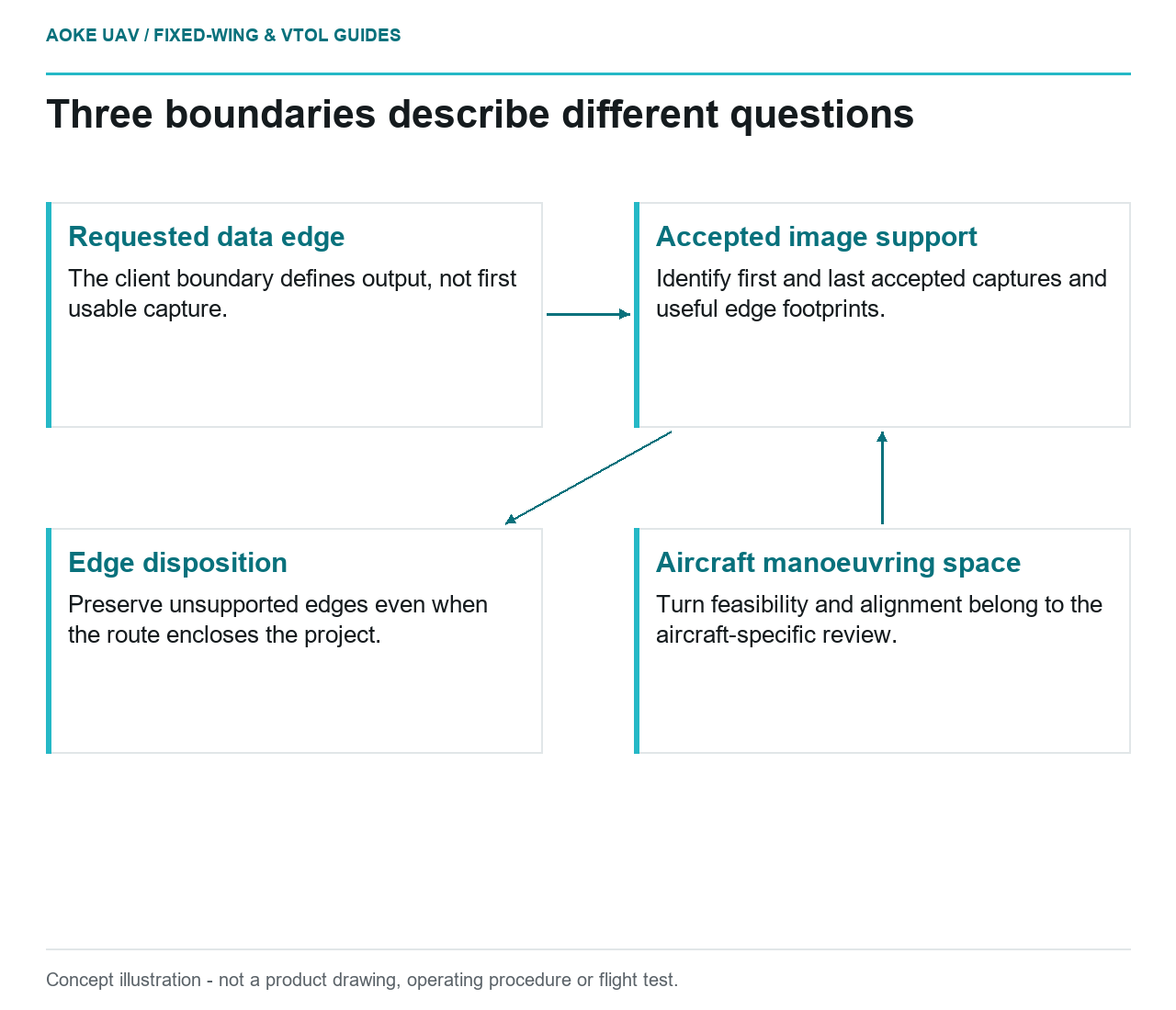
Read diagram notes
- Requested data edge: The client boundary defines output, not first usable capture.
- Accepted image support: Identify first and last accepted captures and useful edge footprints.
- Aircraft manoeuvring space: Turn feasibility and alignment belong to the aircraft-specific review.
- Edge disposition: Preserve unsupported edges even when the route encloses the project.
Aircraft alignment before usable capture
Consider a hypothetical civil survey in which a large fixed-wing UAV must map a rectangular project area. The client’s boundary describes the requested output; it is not evidence that the aircraft can begin accepted imaging exactly at each corner. Treat the planning task as two linked but separate reviews: the documented aircraft mission and the image set that will support the deliverable. Neither review should silently stand in for the other.
For this scenario, define a usable acquisition segment for every strip. Ask the flight team where the aircraft is expected to be aligned and the payload team when the camera will be ready to record accepted images. Do not specify a generic lead-in distance. Require the answer to refer to the actual platform, installed payload and mission conditions. A route drawn through a polygon is a proposal to be examined, not proof of accepted edge data.
Coverage beyond the area of interest
Work outward from the required data edge. In the hypothetical coverage review, ask which accepted images will support features near that edge and whether their useful footprints are sufficient for the intended processing. Distinguish extra image coverage from aircraft manoeuvring space: the first concerns the measurement, while the second concerns where and how the aircraft can operate. Document any mismatch before the team commits to an acquisition design.
USGS lidar deliverables offer a scoped example of this distinction: reported swath extents represent collected coverage and exclude transit and turns between lines. [6] Those are 3DEP lidar delivery requirements, not a universal rule for every imagery survey. The useful editorial principle is to avoid counting all recorded data as usable project coverage. Our fictional fixed-wing imagery team should state its own inclusion criteria and retain the boundary of accepted support.
Turn geometry and payload readiness
Ask for platform-specific turn constraints from the responsible aircraft team rather than deriving them from the camera plan. A large fixed-wing VTOL design still needs a separately reviewed survey segment after takeoff or transition; vertical launch does not answer the edge-imaging question in this scenario. Identify where the route requires a manoeuvre, where useful capture resumes and which evidence would show that resumption. No turn radius, bank setting or operating clearance is supplied here.
Payload readiness also has a model-specific meaning. For example, the RedEdge-MX Revision 04 guide describes an overlap mode that starts and stops capture according to a target-altitude tolerance and only addresses forward overlap. [3] Do not assume another camera behaves the same way. Ask which actual mode is installed, how its ready state is observed and how the first accepted exposure after alignment will be identified in the records.
Separate mission feasibility from data acceptance
USGS treats flight configuration, camera calibration and quality verification as interrelated elements of geometric quality. [1] In this hypothetical plan, use that relationship to demand two explicit decisions: whether the proposed mission can be conducted under the applicable aircraft and operational constraints, and whether the planned accepted images can support the requested boundary. Approval of one question is not a finding on the other, and this article makes neither determination.
At handover, preserve the accepted-image list and a coverage representation that separates survey data from transit, manoeuvre and rejected acquisition. Where an edge lacks enough support, record the extent and the decision: further assessment, revised delivery boundary or a configuration-specific reacquisition plan. The valuable outcome is a clear limit on what the data can support, not a claim that a large fixed-wing aircraft covered everything simply because its mission polygon enclosed the site.
In the proposed edge register, give each strip an intended start, first accepted capture, last accepted capture and reason for excluding any neighbouring records. Keep those entries separate from the aircraft route’s turn points. This avoids arguing about one ambiguous boundary line that is being used simultaneously to mean requested output, available imagery and permissible manoeuvring space. The register does not establish any of those extents until the relevant team supplies its evidence.
Related reading
- Cross-Track Overlap Under Roll and Line-Spacing Variation
- Headwind, Ground Speed and Fixed-Wing Mission Energy