 Surveying & Mapping
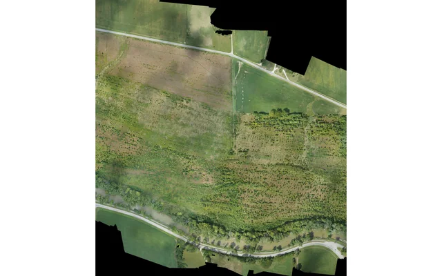
Multi-sortie datasets need consistent reference definitions and traceable configuration changes, with separate checks at acquisition-block joins.
Image: U.S. Geological Survey, National Uncrewed Systems Office (individual creator not credited on asset page) / public-domain. Resized for this page.
 Surveying & Mapping
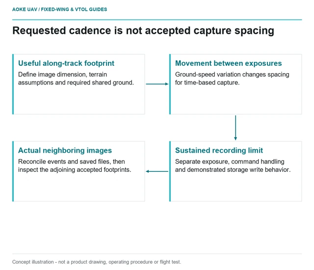
Check whether the installed camera can sustain real capture spacing through changing ground speed, not merely accept trigger commands.
 Surveying & Mapping
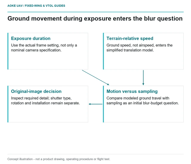
Build an image-motion budget around terrain-relative movement, exposure and the actual installed camera, then inspect original fixed-wing images.
 Surveying & Mapping
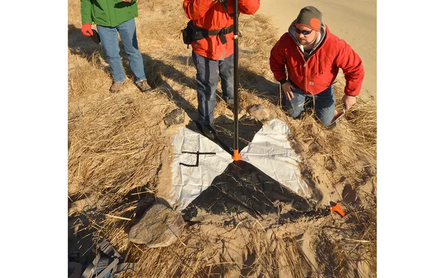
Fine image pixels describe sampling, not independent proof of the completed survey product’s positional accuracy.
Image: Dann Blackwood / U.S. Geological Survey / public-domain. Resized and cropped.
Surveying & Mapping
Define the map, reference frame, coverage and acceptance evidence before choosing a large fixed-wing aircraft or survey payload.
Image: U.S. Geological Survey, National Uncrewed Systems Office (individual creator not credited on asset page) / public-domain. Resized for this page.
Surveying & Mapping
Uncertainty reporting should connect each numerical claim with its reference evidence, tested area and unresolved assumptions rather than unsupported decimal precision.
Image: Dann Blackwood / U.S. Geological Survey / public-domain. Resized and cropped.
 Surveying & Mapping
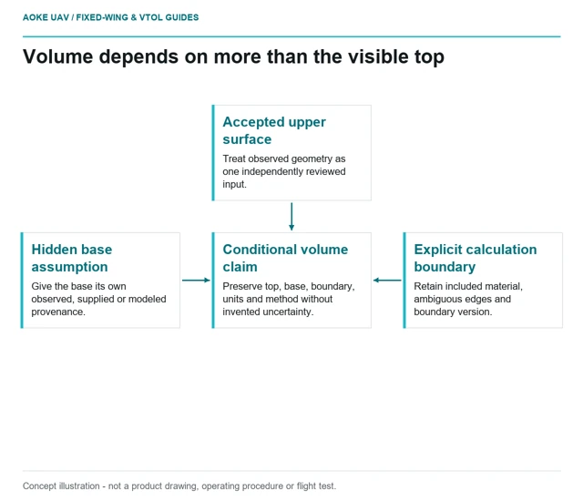
A stockpile volume depends on the agreed base and boundary as well as the observed top surface; dense geometry alone does not settle the result.
 Surveying & Mapping
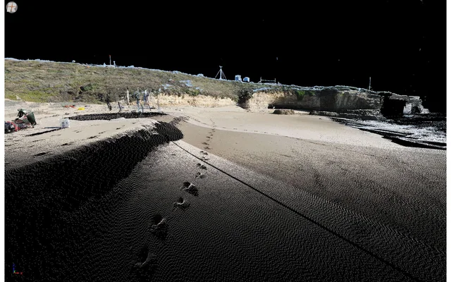
Elevation-product handover needs explicit surface definitions, construction methods and exclusions; a DSM or DTM filename is not sufficient documentation.
Image: Josh Logan / U.S. Geological Survey / public-domain. Resized for this page.
Surveying & Mapping
Orthomosaic seam review separates brightness changes from geometric disagreement by returning to source images and documenting every corrective edit.
Image: U.S. Geological Survey, National Uncrewed Systems Office (individual creator not credited on asset page) / public-domain. Resized for this page.
 Surveying & Mapping
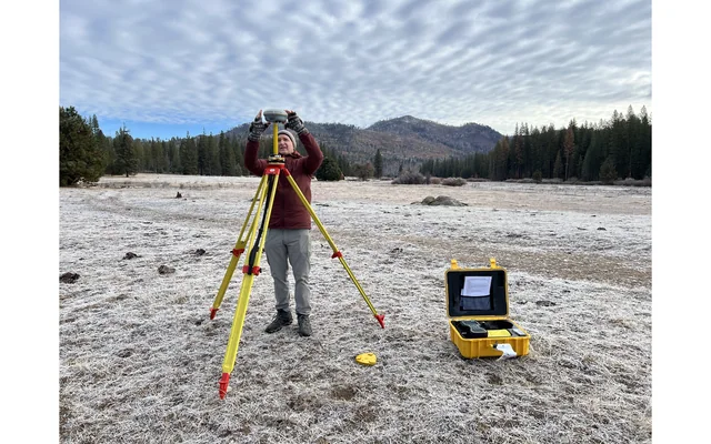
Make reference frame, projection, units, height system and transformation records inspectable when UAV mapping files reach a civil GIS team.
Image: U.S. Geological Survey, National Uncrewed Systems Office (individual photographer not credited on asset page) / public-domain. Resized for this page.