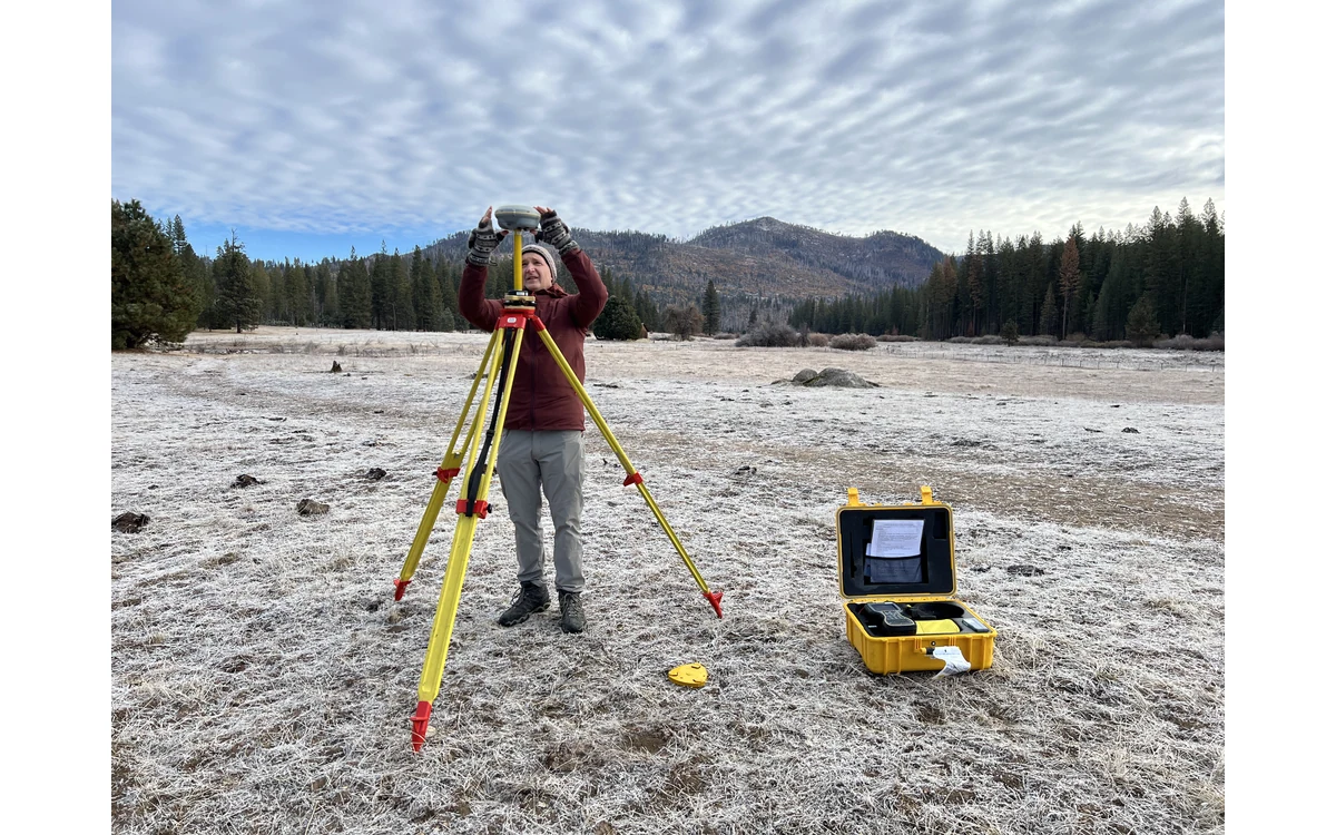
A navigation file marked fixed is not a complete survey-quality report. In a hypothetical large fixed-wing mapping project, the reviewer receives a processed trajectory with changing solution status along one strip. The task is to audit the record: which intervals have what supporting evidence, how reference information entered the solution and how that trajectory relates to the sensor observations.
Position status and interruptions
The USGS LiDAR deliverables guidance requests airborne GNSS-inertial processing information, trajectory-quality plots and estimated trajectory accuracy. It also requests forward/reverse separation information and any other plots used in the producer’s quality analysis. These are 3DEP reporting provisions, not an assurance that any trajectory labeled fixed meets a particular civil requirement. [37]
For the hypothetical fixed-wing review, the analyst would request the actual receiver or processing-software definitions of status fields and quality indicators. Unspecified labels would remain uninterpreted. The review would map changes and interruptions onto the acquisition interval instead of reporting only the most favorable status reached during the sortie.
Estimated quality values would be identified as estimates from the processing system. The reviewer would ask which observations and assumptions they represent and whether they cover the entire collection. A status change might justify closer inspection without establishing a particular positional error or a mandatory rejection on its own.
Reference station provenance
The USGS delivery guidance asks for reference-station identification and confirmation of the processing reference frame. Its processing specification also requires an agreed coordinate reference system and documented horizontal and vertical definitions for the project. These requirements illustrate why a trajectory needs reference provenance, not merely coordinates. [37] [36]
In the example audit, the team would record which reference observations and coordinates were used, how their identity was established and what transformations connect the processed trajectory to the deliverable frame. If the method uses a different correction approach, that would be documented rather than forcing an irrelevant base-station template onto it.
The reviewer would keep acquisition time, reference observation time and processing date distinct. A named station without documented coordinate provenance would leave an important question unanswered. No particular datum or geoid is prescribed for this project by the article; those choices belong to the agreed project definition.
Timing and navigation interpolation
USGS imagery guidance identifies the position and orientation of the sensor at the time of photography as part of exterior orientation. Its field-record recommendations include precise image times and acquisition context. The relevant trajectory question is therefore whether the navigation record can be related to the actual observation events under the documented method. [6]
The hypothetical team would ask which clock each file uses, what event marks exposure and how navigation values were associated with those events. Interpolation and interruption handling would be described by the actual processing system. A coordinate sample adjacent in time would not automatically be accepted as the exposure location without understanding that association.
The installation record would also identify the antenna and sensor reference points and the calibration assumptions linking them. This is an audit request, not a generic lever-arm value or installation instruction. If those records are missing, the review would flag a configuration gap rather than fabricate the needed geometry.
Independent product checks still required
The USGS processing guidance distinguishes internal geometric precision and absolute accuracy, and separates calibration control from independent accuracy checkpoints. That distinction remains important even if the navigation report is complete: a trajectory-quality record and a product-validation record answer different questions. [36]
The final example handover would include interval-specific navigation findings, unresolved timing or reference issues and links to independently checked delivered products. It would not turn a fixed solution label into a blanket map-accuracy claim. A large fixed-wing project benefits from a traceable trajectory audit precisely because it preserves these boundaries instead of compressing them into one reassuring status word.
Related reading
Sources
- [37] Lidar Base Specification: Deliverables
- [36] Lidar Base Specification: Data Processing and Handling Requirements
- [6] Guidelines for Calibration of Uncrewed Aircraft Systems Imagery
Visual summary
Concept illustration
Read diagram notes
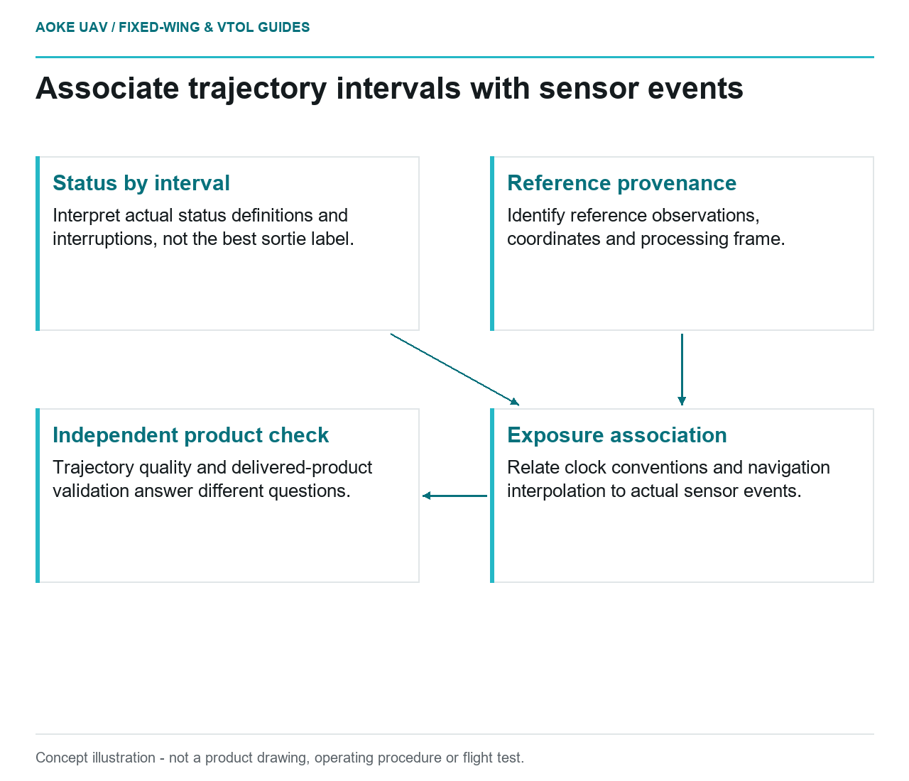
- Status by interval: Interpret actual status definitions and interruptions, not the best sortie label.
- Reference provenance: Identify reference observations, coordinates and processing frame.
- Exposure association: Relate clock conventions and navigation interpolation to actual sensor events.
- Independent product check: Trajectory quality and delivered-product validation answer different questions.