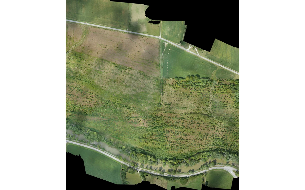
The question under vegetation is whether the ground was observed, not whether the model looks detailed. In a hypothetical large fixed-wing civil survey, a client requests terrain elevations but receives a continuous surface over a vegetated site. Before accepting a bare-earth description, the reviewer needs to trace the terrain model to the observations and classification decisions that support it.
Visible canopy versus terrain
USGS imagery guidance describes reconstruction through matching image features and recommends stable tie points rather than treetops or leaves for calibration. It also identifies texture and geometry as contributors to vertical quality. These points support scrutiny of which physical surfaces constrain an image-derived model, not an assumption that a camera sees concealed terrain. [6]
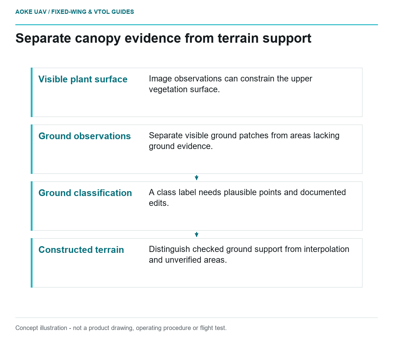
For the hypothetical fixed-wing dataset, the analyst would inspect original views and the reconstructed observations in representative vegetated areas. The review would distinguish visible plant surfaces, visible ground patches and areas for which no ground evidence is established. The purpose is not to reject imagery categorically but to prevent an observed upper surface from being silently substituted for the requested terrain.
A terrain model may contain values everywhere even when direct support is uneven. In the example review, those values would be assessed according to their origin. Display continuity would not resolve whether a given part of the surface represents measured ground or an inference between observations.
Sensor interaction with vegetation
The USGS LiDAR collection requirements address multiple returns, collection conditions and adequate ground penetration for the specified bare-earth objective. They prefer leaf-off conditions and identify project circumstances requiring particular treatment. These are 3DEP provisions; they do not guarantee that every LiDAR installation observes ground beneath every vegetation type. [35]
The example procurement question would be specific: what ground observations were obtained in the actual site conditions, and where are they located? A statement that the payload uses LiDAR would not answer it. The reviewer would request the point selection, return information and coverage evidence needed to judge the particular terrain objective.
For large fixed-wing acquisition, conditions and surface support would remain traceable by strip and area. An adequate demonstration on open ground would not automatically validate the vegetated portion. Any project assumption concerning season or canopy condition would need to match the collection actually delivered.
Classification and ground evidence
USGS processing guidance separates point classification from accuracy assessment and specifies independent checkpoints in vegetated and nonvegetated settings. It also requires classification consistency across artificial divisions such as tiles and swaths. A ground class is therefore part of a documented production and review process, not self-proving evidence that every assigned point is terrain. [36]
The hypothetical reviewer would examine profiles and representative locations together with the producer’s classification method. The questions would include whether candidate ground points are plausible, whether unsupported areas were bridged and how edits were documented. No universal classification parameter or vegetation-height threshold is prescribed here.
Independent reference evidence would be evaluated for its own quality, timing and location. If it samples only accessible clearings, the report would say so. The reviewer would not invent terrain agreement in dense vegetation merely because collecting reference observations there is inconvenient.
Deliverable labels and exclusions
The USGS delivery specification describes bare-earth DEM creation from ground-classified observations and requires reporting the interpolation method. That provides a concrete distinction between source observations, classification and surface construction in its 3DEP context. [37]
For this example, the handover would state which vegetated areas have checked ground support, which depend on interpolation and which remain unverified. It would preserve any exclusion or confidence layer with the surface. The central acceptance question is measurement visibility beneath vegetation, not simply what acronym appears in a filename.
A defensible large fixed-wing terrain product needs an observation chain reaching the requested ground surface. Where that chain is missing, the appropriate response is a limited claim or additional evidence—not relabeling a detailed canopy surface as bare earth.
Related reading
Sources
- [6] Guidelines for Calibration of Uncrewed Aircraft Systems Imagery
- [35] Lidar Base Specification: Collection Requirements
- [36] Lidar Base Specification: Data Processing and Handling Requirements
- [37] Lidar Base Specification: Deliverables
Visual summary
Concept illustration
Read diagram notes
- Visible plant surface: Image observations can constrain the upper vegetation surface.
- Ground observations: Separate visible ground patches from areas lacking ground evidence.
- Ground classification: A class label needs plausible points and documented edits.
- Constructed terrain: Distinguish checked ground support from interpolation and unverified areas.