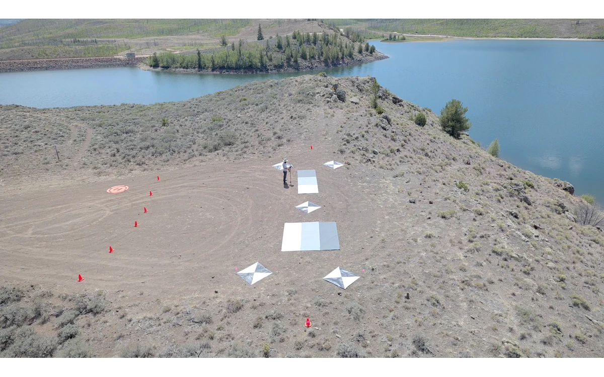
A reservoir can appear in every planned photograph without becoming a defensible elevation measurement. In a hypothetical large fixed-wing coastal survey, the image inventory is complete but the processor cannot substantiate geometry across the water area. The correct response is to define the unsupported region and its effect on the deliverable, not to treat image presence as proof of a measured surface.
Texture and changing reflections
USGS imagery guidance explains that geometric reconstruction uses corresponding tie points and that stable, spatially distributed features matter to calibration. It also notes the role of surface texture in vertical quality. These principles justify asking whether the features used in an adjustment actually provide reliable correspondence. The report is not a specialized water-surface or bathymetric method. [6]
For the hypothetical fixed-wing collection, the reviewer would inspect original water-area images rather than assume that a textured display provides suitable fixed features. A bright patch or dark pattern would be treated as a candidate observation requiring interpretation, not automatically as a persistent location on a measurable surface. The comparison would record what can and cannot be followed between images.
No general water-depth capability is established here. A visible bottom-like pattern, if one appears in the example imagery, would not authorize an underwater elevation claim without an applicable specialist method and independent evidence.
Scene motion between images
The proposed investigation would explicitly ask whether the compared pattern is stationary over the acquisition sequence. In this example, the analyst would retain the images, times and feature-identification decisions behind any claimed correspondence. If the record cannot establish that the same physical location was compared, the resulting reconstruction would remain unverified.
USGS recommends stable tie points rather than moving vegetation features and identifies acquisition geometry as part of calibration. Extending that review logic to the hypothetical water region is an editorial inference: features of uncertain stability should not silently become reliable calibration evidence. It is not a quantified claim about water behavior under a particular flight condition. [6]
A large fixed-wing acquisition may contain valid observations on adjacent land while leaving water geometry unsupported. The team would assess those regions separately. Repeating the same acquisition without identifying what evidence is missing would not itself establish a remedy.
Shoreline and water masking choices
The example deliverable would separate image coverage, accepted land geometry and excluded water geometry. A shoreline used as a boundary would be linked to the actual acquisition date and the observations supporting its placement. The reviewer would ask whether it is a mapped image feature, an externally supplied reference or a processing convenience.
If a mask removes the unsupported region from an elevation product, its extent and reason would accompany the data. If another source supplies a water level or modeled surface, that source and operation would be identified. A filled raster would not be described as direct photogrammetric measurement merely because every cell contains a value.
USGS metadata guidance calls for documented processing schemes, viewing context and calibration information so later users can assess suitability. Those records are directly relevant to distinguishing observed and constructed portions of the example product. [6]
Limit claims and choose another measurement method
The civil client would decide whether the project needs a shoreline image, land elevations beside water, a water-level reference or an underwater surface. Those are separate measurement objectives. This article has no specialist primary methodology establishing the latter objectives and therefore offers no sensor recipe, refraction correction or depth-accuracy promise.
The next method would be selected with the responsible specialist and the actual project requirements. Its validation would be defined before its output is merged with the fixed-wing dataset. Fine GSD is not an accuracy guarantee, as USGS expressly cautions. [6] The defensible handover preserves useful land evidence while clearly marking water-area claims that the collected imagery cannot substantiate.
Related reading
- LiDAR or Photogrammetry: Choose the Measurement Question
- Shoreline Monitoring and Changing Reference Conditions
Sources
Visual summary
Concept illustration
Read diagram notes
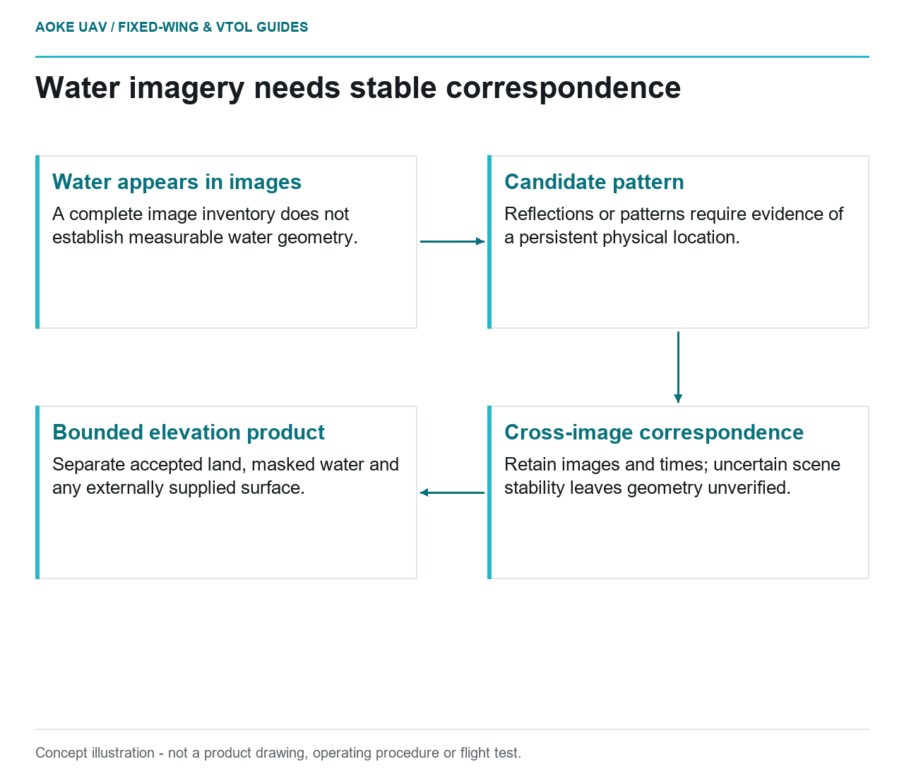
- Water appears in images: A complete image inventory does not establish measurable water geometry.
- Candidate pattern: Reflections or patterns require evidence of a persistent physical location.
- Cross-image correspondence: Retain images and times; uncertain scene stability leaves geometry unverified.
- Bounded elevation product: Separate accepted land, masked water and any externally supplied surface.