A tender promising high accuracy and broad coverage is incomplete until those claims have defined objects and evidence. In a hypothetical civil procurement, a bidder offers a large fixed-wing mapping service without explaining the reference frame, calibration configuration or acceptance method. The buyer’s task is to turn those general promises into questions that can be answered and checked before award.
Deliverables and project reference frame
The USGS LiDAR processing specification requires an agreed coordinate reference system and documented horizontal and vertical definitions in its 3DEP framework. The deliverables specification distinguishes point data, bare-earth surfaces and other products, with accompanying metadata. These documents show the value of defining the product before judging a proposal; they do not automatically govern an unrelated private tender. [36] [37]
The hypothetical buyer would ask which measured surface or feature each output represents, which units and references it uses and what areas are excluded. A request for a map would be refined into identifiable products and intended uses. An elevation grid prepared for context would not silently acquire an engineering purpose that the proposed method has not substantiated.
The tender would identify the actual standard or project method selected for acceptance. If a bidder mentions 3DEP, the buyer would ask which version, provisions and task-specific requirements are included. A standards name alone would not establish contractual scope or compliance.
Acquisition feasibility and payload configuration
The proposed fixed-wing procurement questions would identify the actual aircraft-payload configuration and its intended acquisition geometry. The buyer would ask how required observations connect to planned coverage, including areas where visibility or surface conditions may limit the method. No universal area-per-day figure would be inferred from aircraft endurance or a sensor footprint.
USGS LiDAR collection guidance separately considers sampling, spatial distribution, voids and collection conditions. In its context, those requirements demonstrate that useful data coverage is more specific than simply passing over the project boundary. [35]
For the hypothetical tender, physical payload integration would remain the provider’s documented responsibility. Evidence questions would cover configuration identity, measurement references and the acquisition assumptions behind the offered outputs. The buyer would not attempt to replace aircraft-specific engineering with a generic procurement checklist.
Calibration and independent acceptance evidence
USGS imagery guidance connects geometric quality with camera calibration, tie points and control evidence and cautions that GSD does not directly determine accuracy. A proposal’s pixel-size statement therefore cannot serve as the complete acceptance demonstration. [6]
The buyer would ask which calibration evidence applies to the installed configuration and how independent checks will evaluate the delivered product. The USGS LiDAR processing guidance distinguishes internal precision from absolute accuracy and requires checkpoints separate from calibration control. Those distinctions help expose proposals that use internal fit as their only claim of ground agreement. [36]
The example tender would state who supplies the reference evidence, how its quality will be established and how the tested areas relate to the required outputs. Missing reference coverage would have a stated consequence. No checkpoint count, tolerance or success rate is invented here; those belong to the chosen applicable method.
Provenance and limitation statements
The USGS LiDAR deliverables guidance requires acquisition and processing history, anomalies, calibration and adjustment information, and quality analyses. Its scope illustrates an auditable delivery package rather than an aircraft brochure. The imagery guidance similarly recommends retaining calibration and acquisition metadata. [37] [6]
The hypothetical buyer would request original-data provenance, configuration and processing records, quality results and explicit limitations with the final outputs. The tender would also allocate responsibility for resolving unsupported areas, including any justified additional collection. Presentation edits would not be allowed to obscure the absence of measurement evidence.
The resulting procurement decision would compare substantiated methods for the actual civil question, not rank vendors by the most ambitious unsupported number. A large fixed-wing service can be evaluated fairly when its deliverables and acceptance evidence are explicit—and when unknowns remain visible until they are resolved.
Related reading
- Fixed-Wing Mapping Starts With the Deliverable
- A Propulsion Supplier Evidence Checklist for Industrial UAVs
Sources
- [36] Lidar Base Specification: Data Processing and Handling Requirements
- [37] Lidar Base Specification: Deliverables
- [35] Lidar Base Specification: Collection Requirements
- [6] Guidelines for Calibration of Uncrewed Aircraft Systems Imagery
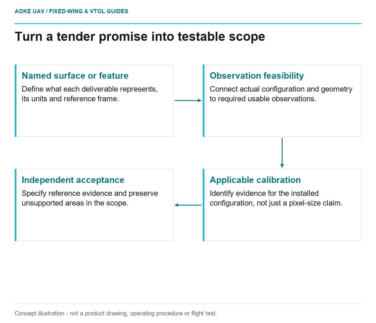
Visual summary
Concept illustration
Read diagram notes
- Named surface or feature: Define what each deliverable represents, its units and reference frame.
- Observation feasibility: Connect actual configuration and geometry to required usable observations.
- Applicable calibration: Identify evidence for the installed configuration, not just a pixel-size claim.
- Independent acceptance: Specify reference evidence and preserve unsupported areas in the scope.