Concept illustration
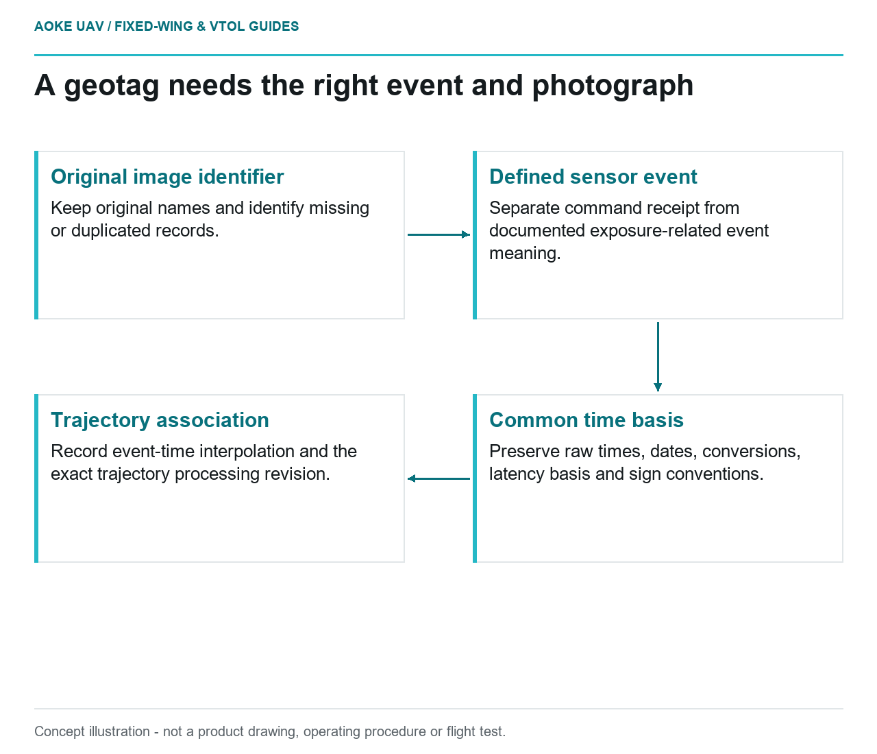
Read diagram notes
- Original image identifier: Keep original names and identify missing or duplicated records.
- Defined sensor event: Separate command receipt from documented exposure-related event meaning.
- Common time basis: Preserve raw times, dates, conversions, latency basis and sign conventions.
- Trajectory association: Record event-time interpolation and the exact trajectory processing revision.
A precise navigation solution is only useful for image georeferencing when it is associated with the right moment and the right photograph. Consider a hypothetical large fixed-wing aircraft mapping a civil transport corridor: the aircraft log contains camera commands, the camera contains image files, and the navigation processor contains a trajectory. The integration task is to prove the connections between them, not merely to copy coordinates into image metadata.
Exposure event versus trigger command
Start by naming what each timestamp represents. A command requests a capture; an exposure-related event, if the particular camera provides one, describes another point in the capture sequence. Do not assume these are interchangeable. As a concrete manufacturer example, Basler documents that a rolling-shutter camera’s Exposure Active signal can span from the first row beginning exposure to the last row ending it, rather than representing one instantaneous exposure. [5]
For this hypothetical fixed-wing payload, obtain the selected camera’s timing documentation and event-output definition. Ask whether the timestamp is exposure start, exposure midpoint, a frame-level status transition or simply command receipt. If only command times exist, describe that limitation. Do not label them measured exposure events because a navigation receiver can timestamp an input precisely.
Latency and timestamp conventions
The proposed integration record would separate camera delay, event detection and clock conversion. Instead of inserting a generic latency correction, the team would request the applicable manufacturer’s procedure and preserve any measurements used to establish an offset. Record the sign convention too: a correction whose meaning is undocumented is not made reliable by additional decimal places.
Waypoint’s Camera Event Marks documentation supports events imported from receiver data or external files and specifies time formats and associated date settings. It warns that incorrect local-time correction or date information can prevent correct event display. These are that software’s import conventions, not a statement that every geotagging package handles time identically. [6]
For the large fixed-wing corridor project, write the clock basis beside each log: navigation time, camera time and any human-readable conversion. Check how the chosen workflow treats the day boundary and date. Preserve original values as well as converted values so another processor can audit the transformation without reverse-engineering a renamed file.
Navigation interpolation and event logs
The hypothetical processing handover should identify which trajectory and processing revision supplied each image position. Require the processing team to document its event-time interpolation and any supported camera-origin correction. A position estimate evaluated at an unexplained timestamp is not a complete georeferencing record. These are proposed evidence requirements for this example, not an endorsed algorithm or a universal interpolation interval.
The RedEdge-MX integration guide provides a useful model-specific warning about metadata provenance: it describes receiving position and attitude through its API, with supplied GPS information overriding its internal source for a documented period. This demonstrates why an image coordinate field does not, by itself, identify the whole positioning chain. No interface wiring or timing from that manual is generalized to another camera. [2]
Audit missing and duplicated events
Build an association table containing original image identifier, event identifier, event time, trajectory revision and processing outcome. In the example review, compare counts but also inspect the sequence. A repeated image name, an extra command or a missing event deserves an explicit disposition. Do not silently shift every later image by one record simply to make two lists have the same length.
Choose representative records from the beginning, middle and end of the fixed-wing mission and check the raw image, raw event and processed association together. Preserve rejected images and unmatched events in an exceptions list. If the evidence supports only coarse tagging, describe that use rather than promising a precise mapping product. The acceptance question is whether the timing chain is documented and suitable for the civil deliverable, not whether every image happens to display a GNSS coordinate.