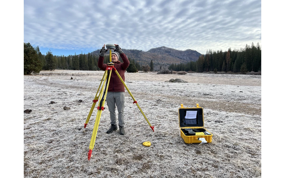
Two elevation files can show tightly grouped numbers and still disagree because their heights refer to different systems. Consider a hypothetical large fixed-wing civil floodplain survey being compared with project control supplied by another organization. Before shifting the UAV surface to make the files match, the team needs to establish what each height means and how it reached the delivered dataset.
Separate ellipsoidal and project heights
The USGS Lidar Base Specification distinguishes ellipsoid heights from orthometric heights and identifies a geoid model as part of conversion between them. Its processing requirements name horizontal and vertical datums separately. This is a 3DEP specification example, not a direction to use its named reference systems for every fixed-wing survey. [3]
In the hypothetical floodplain handover, do not accept an elevation column labeled only height or GPS altitude as a complete definition. Ask whether it is an ellipsoid height, a height in the required vertical datum or a project-local quantity. Obtain that answer for the aircraft trajectory, ground control and final surface separately. Treat an unknown reference as a missing input rather than guessing from the apparent magnitude.
Name the reference model and its coverage
For its specified deliverables, USGS requires the geoid model to be identified in metadata, including the NGS model filename, and provides requirements for agreement on datums in different regions. Those details show why a generic statement that geoid correction was applied is insufficient provenance. They are not universal model-selection rules outside the documented program. [3]
For the example project, request the exact model and version, the applicable area, and the input reference expected by the transformation. Have the responsible geodetic specialist confirm suitability for the site and contract. Do not use a remembered vertical offset from a neighboring project as a substitute for the documented operation. An aircraft covering a broad civil survey should carry one traceable reference plan through all collection blocks.
Keep transformations reproducible
The proposed processing record would preserve original heights, output heights, software revision, model files and the sequence of transformations. Identify whether the navigation processor already supplied heights in the target reference before applying another conversion downstream. This is an audit question, not an assumption that a particular tool applies corrections twice.
USGS’s deliverables example asks for the coordinate reference system selected for point output, including reference frame, projection, units, vertical datum and geoid height model. Its elevation-raster requirements also include horizontal and vertical georeferencing information. These are useful handover categories for discussion, while their mandatory status remains limited to the specification’s own scope. [4]
If the fixed-wing survey must also support a local engineering height system, describe that additional relationship explicitly. Keep any local adjustment separate from the named datum transformation, with its source observations, method and intended extent. A local fit may be part of an agreed workflow; it should not be presented as a new authoritative geoid model.
Check heights in the delivered reference
For this hypothetical acceptance review, the project team would supply independent reference observations expressed in the same delivered vertical system. Compare the actual exported surface with those observations, not merely the processor’s internal display. Retain check locations, units and reference provenance so an apparent mismatch can be investigated before being called an aircraft or terrain error.
A useful exception record distinguishes missing reference information, transformation uncertainty and unexplained residuals. Do not remove an unexplained bias solely to make a summary statistic look better. Instead, resolve the reference chain or restrict the product’s measurement scope. The large fixed-wing platform is the collection system; the delivered height reference remains a separate geospatial obligation that must survive export, conversion and civil GIS handover.
Related reading
- Coordinate Reference Systems at UAV Survey Handover
- Asset GIS Identifiers and Coordinate Consistency
Sources
- [3] Lidar Base Specification: Data Processing and Handling Requirements
- [4] Lidar Base Specification: Deliverables
Visual summary
Concept illustration
Read diagram notes
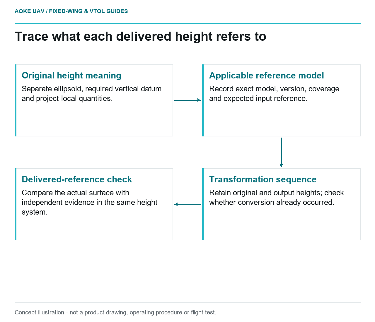
- Original height meaning: Separate ellipsoid, required vertical datum and project-local quantities.
- Applicable reference model: Record exact model, version, coverage and expected input reference.
- Transformation sequence: Retain original and output heights; check whether conversion already occurred.
- Delivered-reference check: Compare the actual surface with independent evidence in the same height system.