Fixed-Wing Overviews for Water Infrastructure
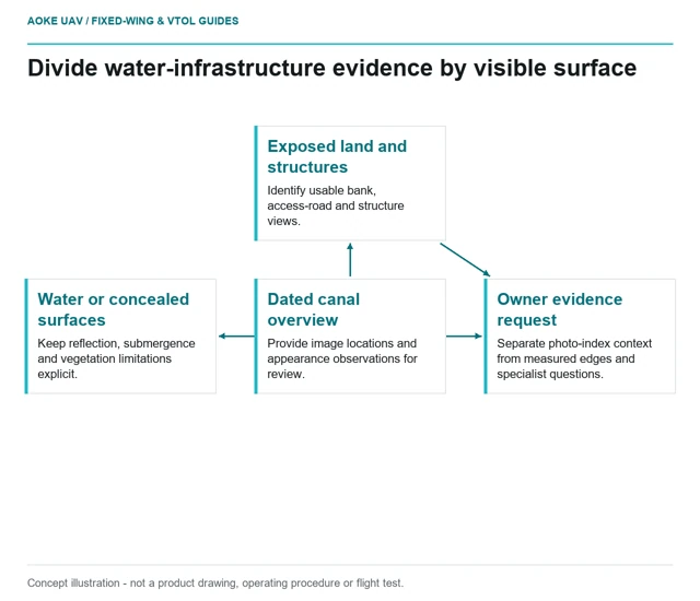
A reservoir or canal overview can document visible surroundings without establishing submerged condition, structural integrity or water quality.
GAUTEN UAV / TOPIC ARCHIVE
A reservoir or canal overview can document visible surroundings without establishing submerged condition, structural integrity or water quality.
Corridor vegetation records should keep visible extent, calibrated spectral observations and owner-defined clearance decisions in separate evidence fields.
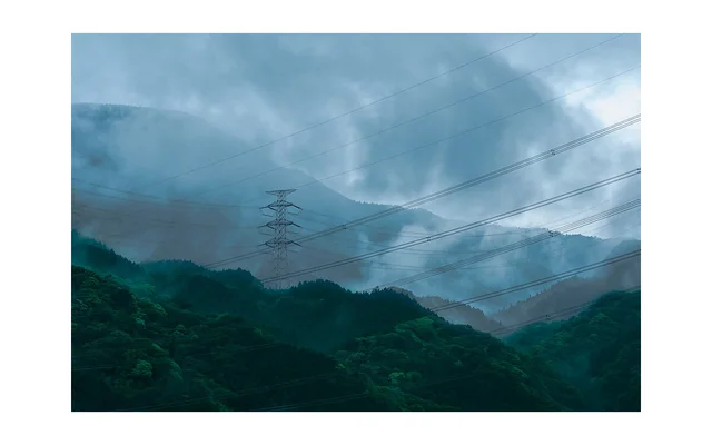
Image: Charles Devaux (mclytir) / CC0. Resized for this page.
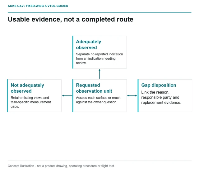
Inspection coverage reporting should distinguish planned acquisition, usable observations and unassessed assets, with a specific disposition for every gap.
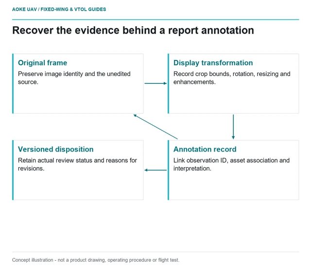
An annotated finding should retain its original image identity, crop history, asset association and actual reviewer status so another person can audit it.
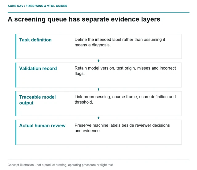
Algorithm-generated flags need source-image links, configuration records and task-specific validation evidence rather than an unsupported defect label.
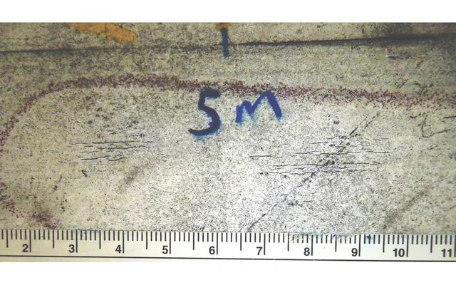
Ordinary aerial visual observations do not establish internal material condition; inspection methods must match the evidence required for the specific asset.
Image: Davidmack at en.wikipedia / CC0. Resized for this page.
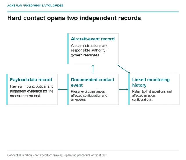
After hard contact, aircraft readiness and payload-data validity need separate documented dispositions; a sharp image clears neither question by itself.
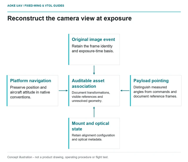
Pointed imagery needs synchronized camera, aircraft and gimbal context plus documented frame conventions before its viewing direction can support asset association.
Zoom-state evidence must explain what view was captured, how that optical configuration was characterized and which assets remain outside usable coverage.
Image: Charles Devaux (mclytir) / CC0. Resized for this page.
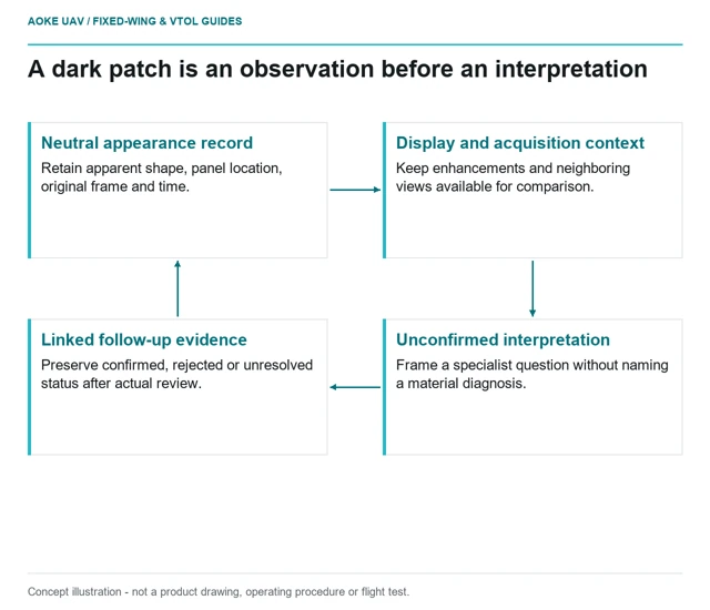
A visible patch should be described by its appearance, acquisition context and evidence links before a report assigns a material-damage interpretation.