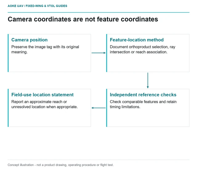
Image Geotags Are Not Exact Defect Coordinates
An image geotag locates the camera record, not every feature inside the frame; asset coordinates need a documented geometric association method.
GAUTEN UAV / TOPIC ARCHIVE
An image geotag locates the camera record, not every feature inside the frame; asset coordinates need a documented geometric association method.
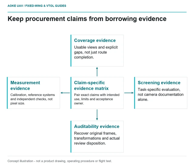
A buyer's evidence matrix should connect each inspection-service claim to the exact observation, validation record and acceptance decision it requires.
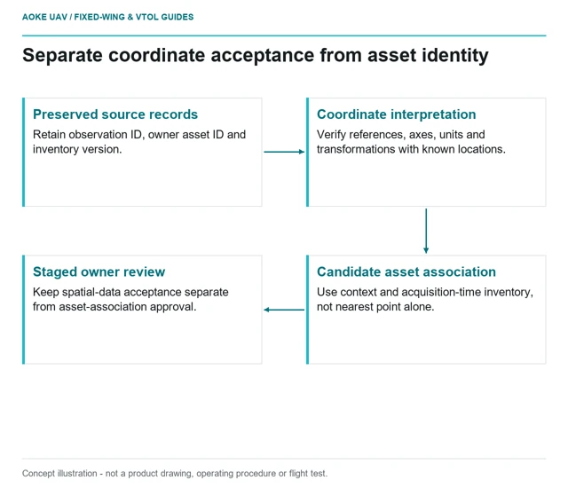
Inspection observations need explicit asset identities, reference-system definitions and inventory versions before they can update a civil asset GIS.
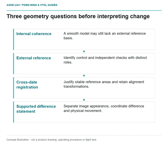
A repeat inspection series must distinguish internal model consistency, external reference quality and cross-date alignment before reporting physical change.
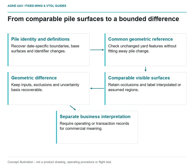
Repeat stockpile results need comparable boundaries, base definitions and reference evidence before a volume difference can be interpreted as material movement.
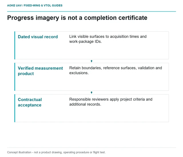
A dated construction overview is useful evidence, but quantities and completion claims require their own measurement definitions and acceptance records.
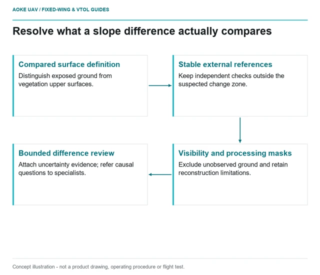
Repeat slope models need a common reference, observed surface definitions and independent checks before a difference map can support a change finding.
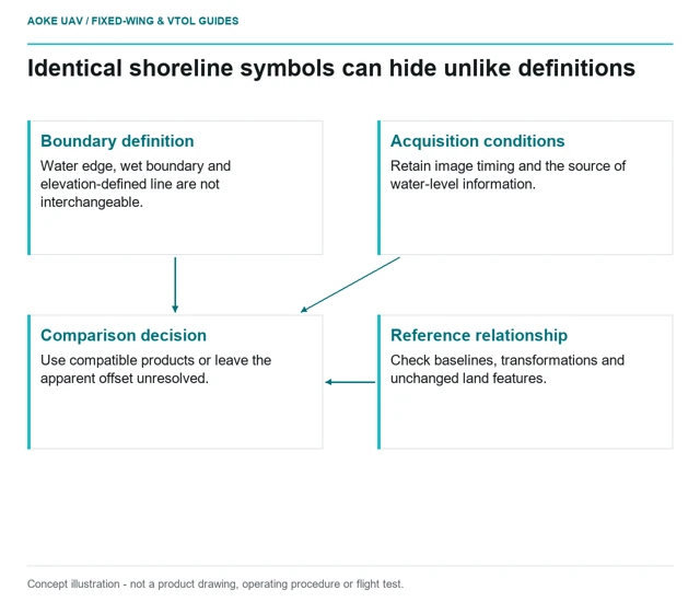
Two coastal maps need compatible shoreline definitions, reference frames and acquisition context before their apparent boundary difference becomes erosion evidence.