Turn Space and Edge Coverage in Fixed-Wing Surveys
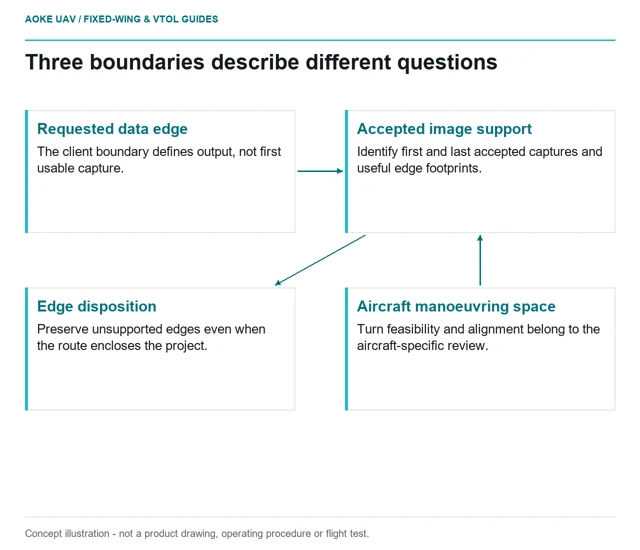
Separate the requested data boundary from the space and stable acquisition conditions a large fixed-wing survey needs around it.
GAUTEN UAV / TOPIC ARCHIVE
Separate the requested data boundary from the space and stable acquisition conditions a large fixed-wing survey needs around it.
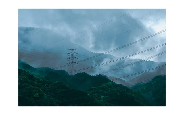
Use ridges, valleys and roughness changes to organise questions about local airflow and evidence continuity, not to derive a clearance or safe-flight assessment.
Image: Charles Devaux (mclytir) / CC0. Resized for this page.
Compare propulsion evidence with atmosphere, rotational state and cooling assumptions intact instead of treating equal throttle labels as equal conditions.
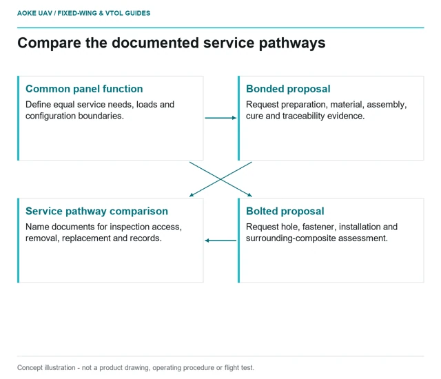
Compare the complete inspection and replacement burden of hypothetical bonded and bolted large-wing panel attachment concepts.
Review printed drill guides through drawing references, bushing retention, wear, process access and independent inspection of the finished hole.
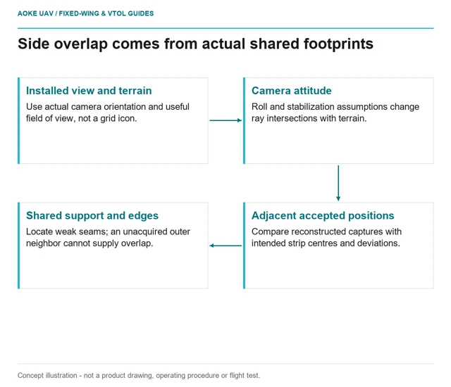
Evaluate cross-track image support from the actual installed orientation, terrain and strip positions rather than the nominal mapping grid.
A wind reading at the departure site cannot describe every route height and terrain setting. Organise weather evidence around the actual fixed-wing monitoring question.
Image: Charles Devaux (mclytir) / CC0. Resized for this page.
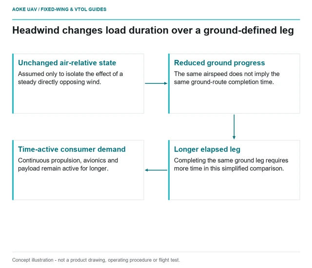
Distinguish airspeed from ground progress when reviewing how a headwind changes route duration and the duration of aircraft and payload loads.
A reading route from civil survey requirements to structure, payload integration, power evidence and independently checked data.
An annotated finding should retain its original image identity, crop history, asset association and actual reviewer status so another person can audit it.