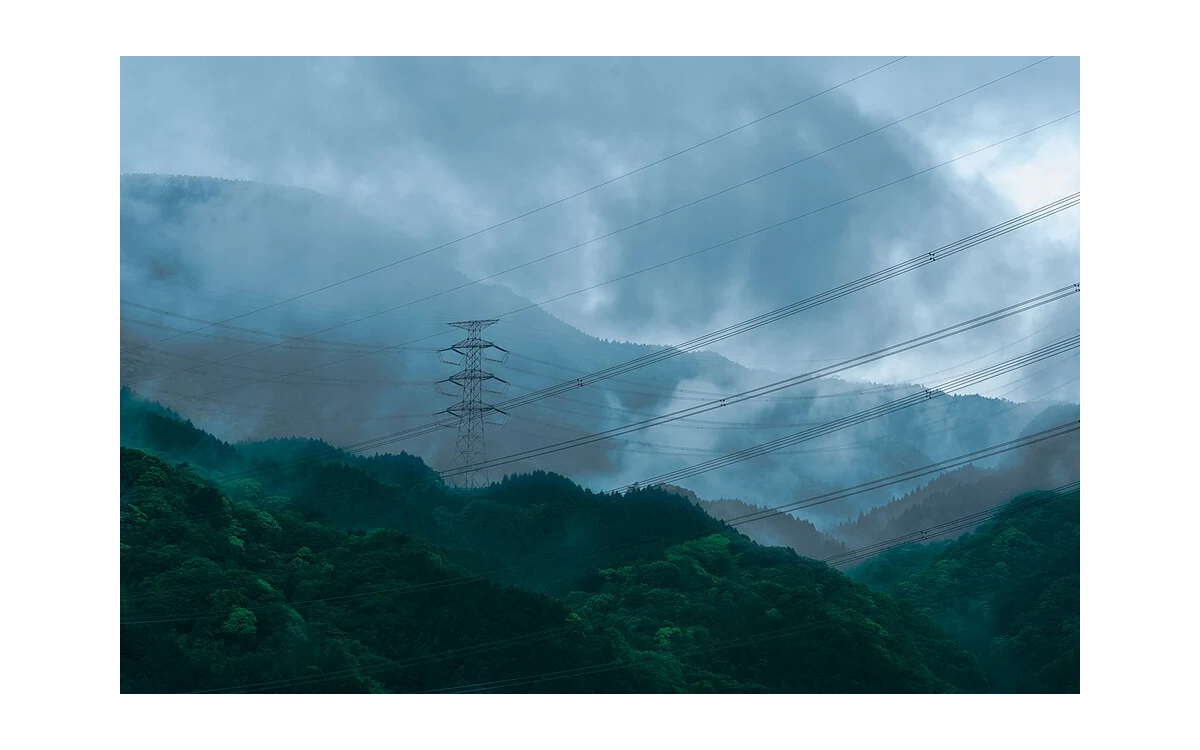
Flow disturbance near ridges and obstacles
A terrain map can organise a weather discussion, but it cannot certify a corridor as flyable. In this hypothetical civil integration scenario, a large fixed-wing aircraft is proposed for overview imagery along an industrial route near a ridge, a valley entrance and a broad embankment. The owner wants a continuous surface record. The planning team should identify where terrain could make a simple regional-wind description unrepresentative, while leaving flight-clearance decisions to the responsible specialists.
WMO explains that mechanical turbulence depends on wind strength, terrain roughness and atmospheric stability. Its discussion of orographic effects includes valley-channelled airflow, ridge-related turbulence, mountain waves and rotors. [1] Those descriptions identify mechanisms worth investigating, not precise hazard boundaries around every terrain feature. Do not draw a generic wake zone on a map and present its edge as a safe route or a minimum aircraft clearance.
Changing wind relative to route
For the proposed review, divide the corridor by terrain setting rather than only by equal map intervals. Ask how the available forecast represents an exposed slope, a sheltered section and a route bend. The same regional direction should not be assumed to have the same relationship to every local feature. WMO specifically describes terrain as capable of diverting airflow and producing complex flow patterns. [1] A qualified weather interpretation is needed to connect that context to the actual location.
Record uncertainty explicitly. The hypothetical planning table would list terrain feature, weather question, available evidence, limitation and responsible reviewer. An embankment with no representative local information should remain an unresolved item, not receive an invented turbulence severity. Similarly, a calm departure site should not be used as proof about a distant ridge. These are proposed documentation practices, not mandatory meteorological reporting categories or a substitute for the aircraft operator’s established decision process.
Image attitude and continuity consequences
WMO describes turbulence in terms that include changes in aircraft attitude or height and notes that aircraft responses differ. [1] The editorial implication for this monitoring assignment is to separate aircraft response review from evidence usability review. For the latter, request original frames and the corresponding time-tagged acquisition information from terrain-sensitive sections. Do not assume either that a disturbance ruins every image or that successful route following proves all required views were captured.
In this proposed fixed-wing evidence workflow, the reviewer checks whether the requested corridor margins and surface features remain visible. Mark any section with incomplete or ambiguous evidence and retain its original sequence. Where logs are available, ask the integrator to establish their timing and interpretation before associating a view change with an aircraft event. This is a review method, not a controller-performance test or proof that a particular terrain effect caused a particular frame problem.
A large fixed-wing monitoring plan should also resist solving every data gap by flying closer to terrain. This article offers no such prescription. If the necessary observation geometry conflicts with the actual platform’s procedures or cannot be supported with adequate weather evidence, the team should reconsider the observation scope through its normal planning process. Broad context imagery can still be useful while a specific feature is assigned to another acquisition or inspection method.
Document uncertainty in local forecasts
Preserve the forecast version and issue time used for planning, distinguish predictions from observations and record the source of any local interpretation. Ask whether the product’s spatial and temporal scope can resolve the question being posed. WMO’s guidance establishes why local terrain and stability matter, but it is not a forecast for the hypothetical corridor. [1] Do not retrospectively treat a general description as though it predicted the exact flight conditions.
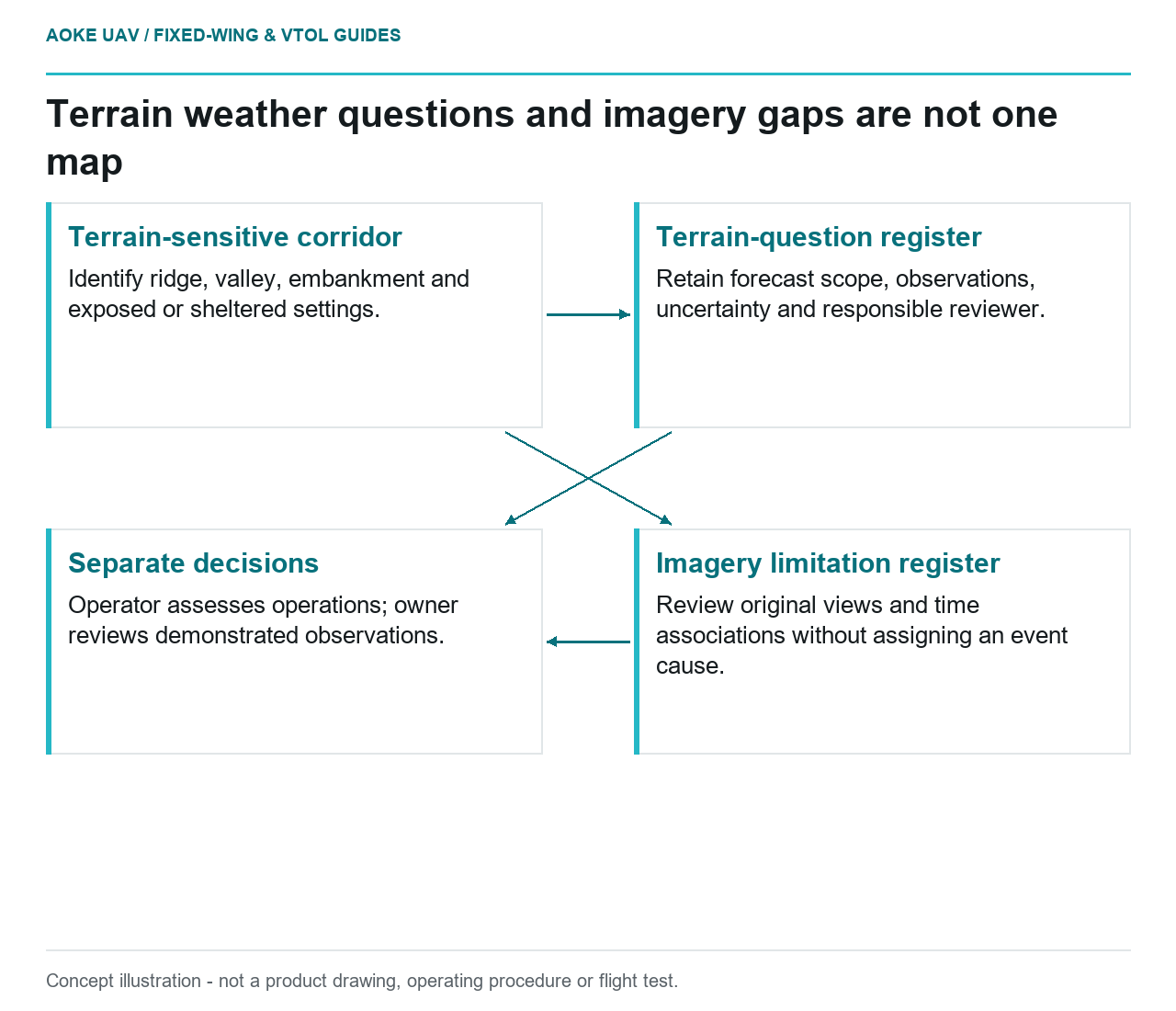
The handoff should include a terrain-question register and a separate imagery limitation register. One tells the operator where the evidence base needs attention; the other tells the owner which observations are demonstrated. Neither is an aircraft clearance assessment or an asset-condition certificate. This keeps the large fixed-wing role focused on civil corridor reconnaissance and supports honest follow-up without inventing wind tolerances, structural margins, guaranteed image continuity or authority to operate.
Related reading
- Wind Profiles and Fixed-Wing Inspection Planning
- Atmospheric Conditions in Propulsion Data Comparisons
Sources
Visual summary
Concept illustration
Read diagram notes
- Terrain-sensitive corridor: Identify ridge, valley, embankment and exposed or sheltered settings.
- Terrain-question register: Retain forecast scope, observations, uncertainty and responsible reviewer.
- Imagery limitation register: Review original views and time associations without assigning an event cause.
- Separate decisions: Operator assesses operations; owner reviews demonstrated observations.