Concept illustration
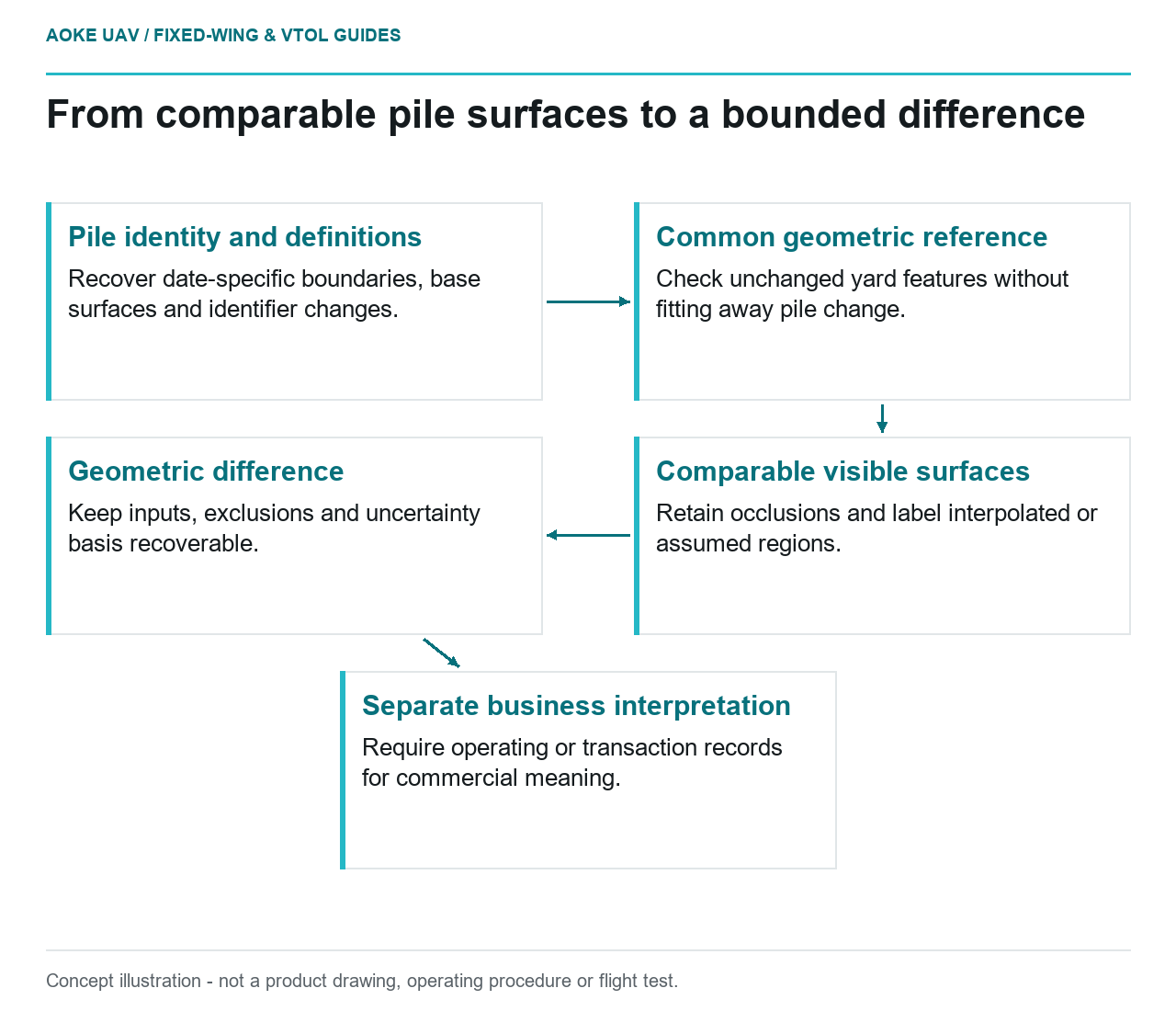
Read diagram notes
- Pile identity and definitions: Recover date-specific boundaries, base surfaces and identifier changes.
- Common geometric reference: Check unchanged yard features without fitting away pile change.
- Comparable visible surfaces: Retain occlusions and label interpolated or assumed regions.
- Geometric difference: Keep inputs, exclusions and uncertainty basis recoverable.
- Separate business interpretation: Require operating or transaction records for commercial meaning.
The question is comparability between campaigns
A hypothetical aggregate yard receives stockpile surfaces from two large industrial fixed-wing acquisitions. A spreadsheet subtracts the reported volumes and labels the result material dispatched. The yard manager first needs to know whether both campaigns measured comparable things. This is an illustrative monitoring review, not an GAUTEN measurement, an inventory reconciliation or an assertion about a real yard’s commercial activity.
The issue here is not how to construct one stockpile volume. It is whether a cross-date difference can carry an interpretation. Write down the pile identity, footprint, base definition and relevant acquisition time for each campaign. If any definition changed, treat the reported subtraction as provisional until the difference between definitions has been investigated.
Preserve boundaries and bases across dates
For this scenario, request both original boundary files instead of accepting a screenshot of the latest outline. Ask whether adjoining piles were separated in the same way and whether the yard’s pile identifiers changed. If an operator split a pile in the inventory, retain the relationship between the earlier combined pile and the later records. Do not infer identity solely from proximity.
Ask whether both calculations used the same base surface or different estimated bases. The proposed review should record why a base was retained, revised or replaced. When the underlying yard surface was not observed, describe the base as an assumption, not as a new measurement. The resulting comparison should make the sensitivity to that assumption visible rather than concealing it in software defaults.
USGS imagery guidance explains the need for geometric calibration and common distance units, and connects data quality to control and verification. It does not supply a stockpile accounting method or prove that two volume totals are comparable. Its role is to ground the measurement-quality questions behind the proposed review. [1]
Test references and surface completeness
In the illustrative fixed-wing series, compare appropriate unchanged yard features using independently justified reference observations. Retain the coordinate systems, transformations and processing histories from both dates. If a common hardstanding appears offset, investigate that relationship before attributing a pile difference to movement. Do not fit only the pile itself to force agreement while simultaneously trying to measure its change.
USGS distinguishes ground sample distance from geometric accuracy and discusses check points not used in a calibration trial as validation evidence. Those distinctions matter because small pixels or a clean-looking model cannot establish the uncertainty of this particular cross-date subtraction. Request a project-specific assessment instead of adopting a universal volume-change threshold. [1]
Check the actual visible surface on both dates. In this example, a temporary machine obscures one pile toe in the first dataset and an adjacent pile conceals part of the second footprint later. Preserve those areas as comparison limitations. An interpolated surface may be useful for a clearly labeled estimate, but it should not be mistaken for newly observed evidence of material movement.
Keep measurement difference separate from business meaning
Propose an output table with the two input products, a common comparison boundary, base treatment, exclusions and the basis for any uncertainty statement. Where possible, let the owner inspect a like-for-like comparison alongside the originally delivered totals. If a revised definition explains the difference, record that result without rewriting the historical delivery as though it had always used the new definition.
Finally, ask the owner for transaction or operating records relevant to the proposed commercial interpretation. A measured surface difference is not automatically dispatched mass, saleable inventory or an explanation of loss. The fixed-wing record can contribute geometric evidence while leaving those business questions to separately documented inputs.
If the comparison remains unsupported, retain both campaigns and specify the missing item: a recoverable base, a consistent boundary, representative reference evidence or usable surface coverage. This gives the next monitoring cycle a concrete improvement target without manufacturing a precise movement claim from unlike surfaces.
Related reading
- Stockpile Volumes and the Base Surface Assumption
- Reporting UAV Survey Uncertainty Without False Precision