Concept illustration
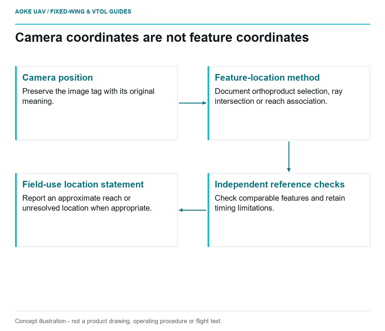
Read diagram notes
- Camera position: Preserve the image tag with its original meaning.
- Feature-location method: Document orthoproduct selection, ray intersection or reach association.
- Independent reference checks: Check comparable features and retain timing limitations.
- Field-use location statement: Report an approximate reach or unresolved location when appropriate.
Locate the camera record before locating the feature
A hypothetical industrial pipeline owner receives a fixed-wing image containing a conspicuous patch beside an access track. The reporting software copies the image’s position tag into the finding’s coordinate field. The owner then asks a field team to visit that point. Before issuing the task, the reviewer needs to know whether the coordinate describes the camera, a ground projection or the observed feature. This is an illustrative integration problem, not an GAUTEN finding.
For a large fixed-wing monitoring system, name coordinate fields according to their meaning. Preserve camera position as camera position. Give a feature location a separate field that identifies its derivation, reference system and quality. Do not allow an empty feature-location field to inherit the aircraft position automatically merely because both use latitude and longitude.
Describe the geometric relationship
USGS explains photogrammetric geometry using image coordinates, focal length, camera orientation and object-space coordinates. It defines exterior orientation as the sensor’s position and orientation at photography. That framework distinguishes a camera location from the location of an imaged object; it does not make a geotag alone a verified defect coordinate. [1]
In the hypothetical patch example, ask the provider to state its actual association method. Was a reviewer selecting a location on an orthoproduct, intersecting a viewing ray with a documented surface, or assigning an approximate asset reach? These are different evidence paths. Do not report one as another simply because the final interface displays an identical map marker.
For a ray-based method, request the camera configuration, viewing-direction information and surface definition used in the calculation. For an orthoproduct selection, retain the source product and the clicked observation geometry. For a reach-based association, use a reach label rather than unsupported point precision. This article proposes questions for a method review, not a complete implementation or a universal geolocation algorithm.
Check timing and independent reference evidence
A fixed-wing image sequence needs a clear relationship between exposure events and associated position and pointing records. Ask which timestamp is used, how it is related to the image and what uncertainty remains. If only file creation time is available, record that limitation instead of describing an unverified exposure-time association as synchronized. No model-specific timing performance is assumed here.
USGS’s calibration discussion connects camera geometry, ground control and tie-point distribution to product quality, and its metadata discussion includes measurement time and viewing geometry. The guide also cautions against assigning positional accuracy directly from ground sample distance. These principles support testing the proposed feature location, not a guaranteed location accuracy. [1]
In the scenario, select identifiable reference features whose positions can be checked independently. Ask whether the same method places them consistently before trusting the patch location. Record where those checks apply and whether the feature lies on a comparable surface. A test on a flat yard should not silently stand in for evidence about an elevated or obscured asset element.
Give field users an honest location statement
The proposed finding record should include the original frame, image-space annotation, candidate asset association, location method and review status. State explicitly when the location is approximate or unresolved. A field team can work with an identified reach and a contextual image; a falsely precise point may instead direct attention away from the actual observation.
Preserve revisions if a later review changes the coordinate. Keep the old location linked to the corrected one with the reason for change, rather than moving the marker without explanation. This protects the relationship between earlier field notes and the imagery that prompted them.
The correct closeout for this fixed-wing example is not to label the patch a defect or to supply more decimal places. It is to establish what was observed, how its location was derived and what independent evidence supports that association. Only then can the owner decide whether the location is adequate for its intended follow-up.