Concept illustration
Read diagram notes
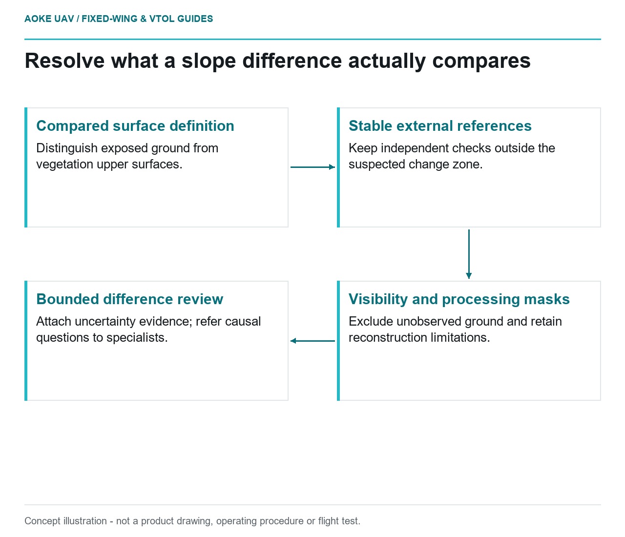
- Compared surface definition: Distinguish exposed ground from vegetation upper surfaces.
- Stable external references: Keep independent checks outside the suspected change zone.
- Visibility and processing masks: Exclude unobserved ground and retain reconstruction limitations.
- Bounded difference review: Attach uncertainty evidence; refer causal questions to specialists.
A colored difference map is a starting question
Consider a hypothetical highway cutting monitored with a large industrial fixed-wing aircraft. Two surface models produce a band of apparent elevation change near a vegetated shoulder. The project team must decide whether it has observed a surface difference, a reconstruction difference or an alignment problem. This example is deliberately limited to evidence review; it is not an GAUTEN campaign and offers no prediction of slope failure.
Define the compared surface before examining the color scale. Is the model intended to represent exposed rock, bare soil or the upper surface of vegetation? Give each slope zone a visibility record. If the first campaign depicts soil and the second depicts vegetation, the comparison is not automatically a measurement of the same physical surface. The report should preserve that distinction explicitly.
Establish a common reference without hiding changes
USGS imagery guidance identifies ground control, camera calibration, tie points and check observations as interconnected contributors to geometric quality. It also explains that pixel ground sample distance is not a direct accuracy guarantee. These are appropriate survey-quality principles for the scenario, not geotechnical hazard criteria. [1]
Ask the fixed-wing processing team to retain both original models, reference-system definitions, control observations and transformation history. For this illustrative cutting, nominate independently justified stable areas outside the suspected change zone as comparison evidence. Do not simply fit the entire slope until the two surfaces agree: that would leave the reviewer unable to distinguish an alignment adjustment from the feature being investigated.
Separate observations used to constrain a model from observations reserved to test it. USGS’s 3DEP lidar specification explicitly distinguishes internal precision from external validation and requires independent checkpoints in its own program context. That example clarifies why a visually smooth model is not sufficient external evidence; its program thresholds are not adopted here for a UAV slope project. [2]
Mark visibility and processing exclusions
In the hypothetical vegetated shoulder, request the original image sequence and the evidence supporting any bare-ground classification. If the relevant surface was not observed, mask that comparison rather than interpreting an interpolated patch as exposed ground. Keep separate reasons for vegetation, shadow, missing images and failed reconstruction so the next acquisition can target the actual limitation.
Review changes in processing configuration as well as acquisition. Ask whether the same surface definition, classification approach, grid representation and boundary were used. The aim is not to insist that all software remain frozen forever, but to identify which differences need evaluation. When a method changes, retain an explicit bridge comparison or leave the historical series segmented rather than pretending continuity.
Put uncertainty beside the claimed change
For this scenario, propose a change record containing location, compared dates, surface type, visibility status, reference checks and the basis for a detection decision. No numerical detection limit can be supplied without the project’s uncertainty evidence. Ask the survey specialist to explain how acquisition, surface reconstruction and alignment uncertainty affect the particular comparison instead of adopting a convenient universal cutoff.
USGS describes calibration metadata and uncertainty as information that helps users decide whether data are suitable for an application. Preserve that information alongside the difference product, including limitations that vary by terrain or visibility zone. A single summary figure should not conceal an unsupported part of the slope. [1]
The final fixed-wing deliverable can identify a localized difference requiring investigation while withholding a cause. Route questions about failure mechanisms, instability and intervention to the qualified hazard team with the evidence attached. If the available models cannot support a physical-change finding, say so. A bounded recommendation for better reference observations or an alternative measurement method is more useful than turning unexplained colors into an unsupported safety conclusion.
Related reading
- Vegetation Surfaces Are Not Automatically Ground Elevation
- Reporting UAV Survey Uncertainty Without False Precision