Concept illustration
Read diagram notes
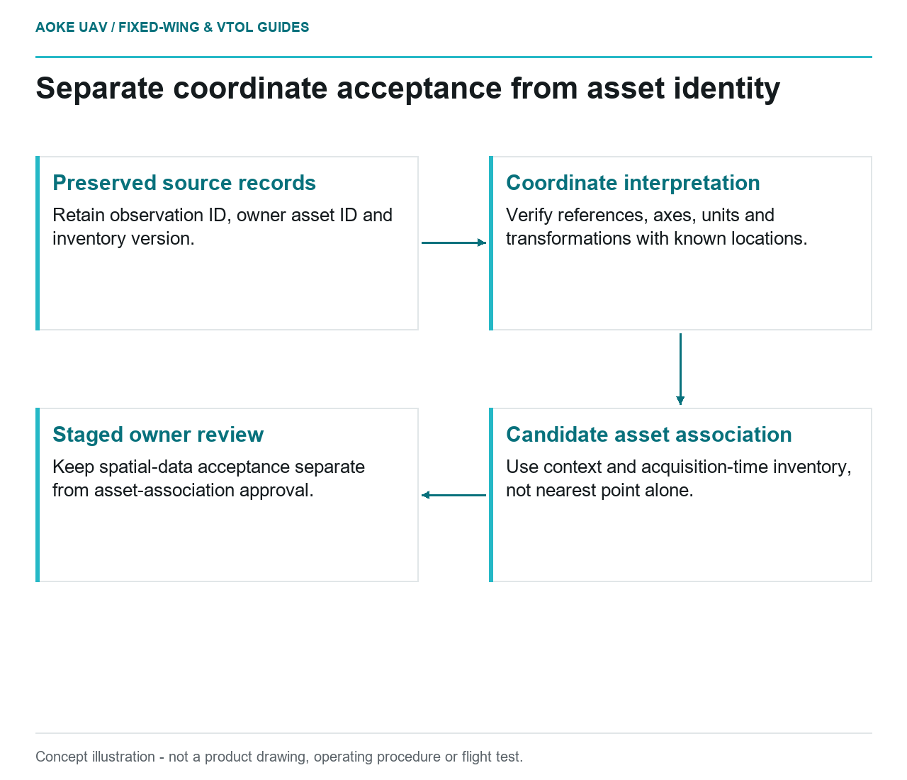
- Preserved source records: Retain observation ID, owner asset ID and inventory version.
- Coordinate interpretation: Verify references, axes, units and transformations with known locations.
- Candidate asset association: Use context and acquisition-time inventory, not nearest point alone.
- Staged owner review: Keep spatial-data acceptance separate from asset-association approval.
Correct imagery can still reach the wrong asset
Imagine a hypothetical water utility with parallel service routes and several similar valve compounds. A large industrial fixed-wing overview supplies good-quality images, but the import routine attaches each observation to the nearest GIS point. One compound has recently been replaced and the inventory location has not yet been reconciled. The problem is association, not simply image sharpness. This is an editorial integration scenario, not an GAUTEN deployment or a documented utility error.
Treat asset identity as an owner-controlled identifier rather than a coordinate-derived label. In the proposed workflow, retain the original asset ID, inventory version and the rule used to associate an image observation. Keep the observation’s own identifier separate. This allows an ambiguous finding to remain unresolved without altering the source asset register merely to make the import succeed.
Check the complete coordinate meaning
USGS’s lidar processing specification addresses coordinate reference systems, vertical references and units, including documentation when mixed units are used. These provisions belong to the 3DEP lidar program. They offer a concrete example of explicit coordinate handling, not a compulsory schema for every civil UAV GIS. [1]
For the hypothetical fixed-wing import, request the full source and destination reference definitions and the intended transformation. Verify axis interpretation and units with known test locations supplied by the owner. If heights are part of the record, include their reference rather than treating every elevation field as interchangeable. Do not fix an apparent offset by editing individual asset coordinates until the data appear to align.
Preserve the original coordinates beside any transformed coordinates. Record the transformation configuration and the inventory revision against which the test was performed. If the receiving GIS applies another conversion automatically, identify that behavior before bulk association. The goal is to let a reviewer retrace a coordinate’s meaning from the delivered measurement to the displayed feature.
Distinguish proximity from confirmed identity
USGS imagery guidance explains that camera geometry, control and verification contribute to geometric quality, and warns against equating ground sample distance with accuracy. Those principles help assess spatial evidence, but they do not determine which owner asset an image depicts. Identity confirmation needs a separate association rule and review. [2]
In the example, a nearest-point match between the two routes should create a candidate relationship, not an automatic update. Ask what other evidence distinguishes the compounds: a documented route assignment, visible site context or owner confirmation. Preserve conflicting candidates when the evidence is insufficient. A reviewer should see why a candidate was selected rather than only the final joined row.
Include time in the association. An image may depict a site before a replacement while the latest inventory describes the new asset. Ask which record version applies at acquisition and whether historical IDs are linked. Do not silently attach an older observation to a new component merely because both occupy the same location. This is a proposed data-governance choice, not a claim that a specific utility has such records.
Stage changes for review before updating records
For this fixed-wing handoff, propose a review layer with observation ID, candidate asset ID, association method, source frame, coordinate reference and review state. Keep suggested location corrections separate from observed image features. If a location is disputed, flag the dispute and preserve both versions rather than overwriting the owner’s source geometry.
Test a small representative import containing an unambiguous asset, a disputed match and an unmatched observation. Check that the receiving system preserves identifiers and does not convert an unknown value into a false confirmed state. This is a suggested acceptance exercise, not a report that any software has passed it.
The final GIS update should therefore reflect two approvals where needed: acceptance of the spatial data and acceptance of the asset association. Large fixed-wing monitoring can provide a coherent observation layer without claiming authority to resolve every inventory disagreement. Keeping that boundary visible makes errors recoverable and preserves the relationship between an image, a place and the asset the owner actually manages.