Concept illustration
Read diagram notes
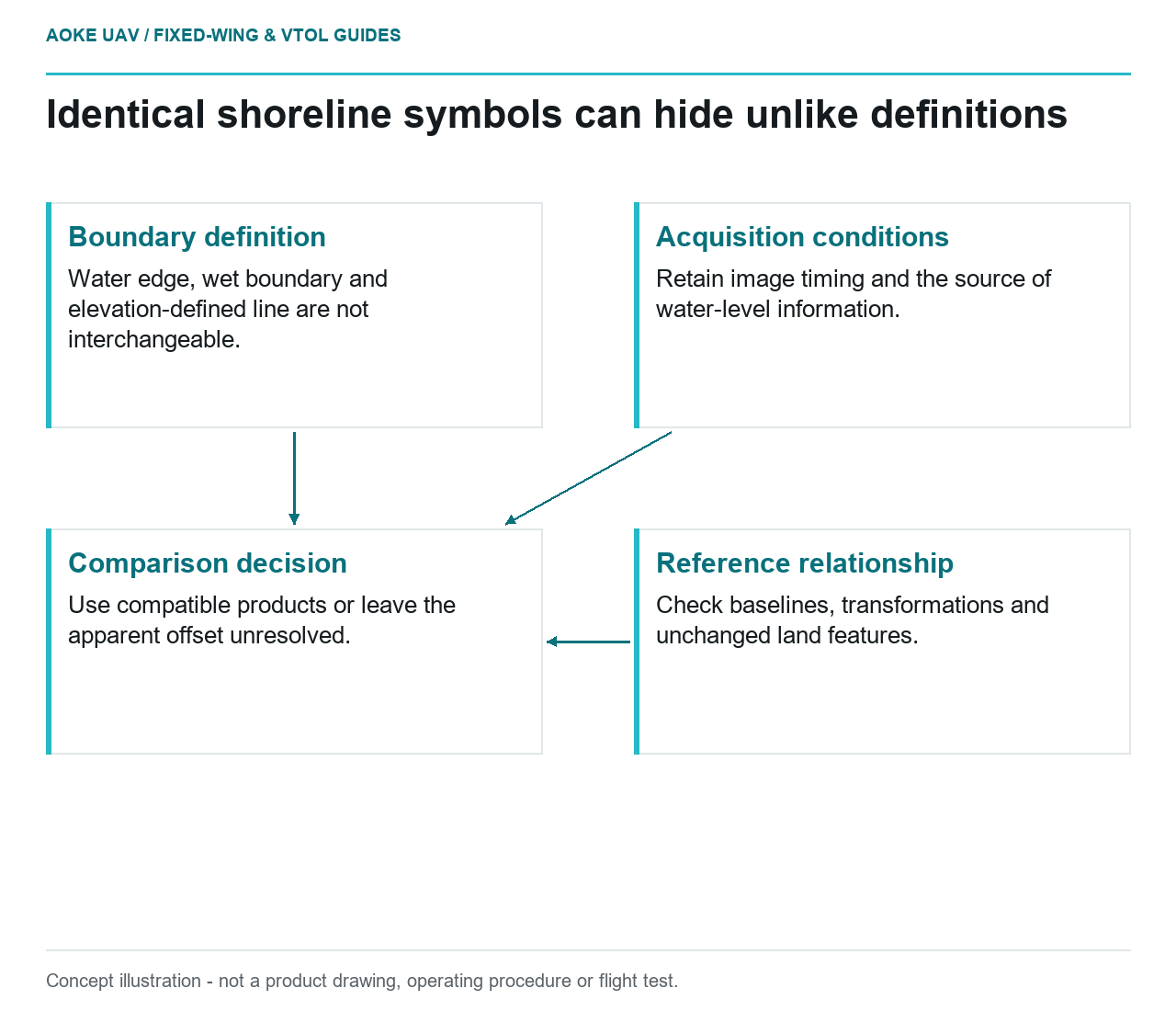
- Boundary definition: Water edge, wet boundary and elevation-defined line are not interchangeable.
- Acquisition conditions: Retain image timing and the source of water-level information.
- Reference relationship: Check baselines, transformations and unchanged land features.
- Comparison decision: Use compatible products or leave the apparent offset unresolved.
Decide which shoreline is being compared
A hypothetical coastal manager receives two maps from large industrial fixed-wing campaigns. Both display a blue line labeled shoreline, but the later line lies farther inland along part of a beach. Before asking for an erosion rate, the manager needs to establish what each line means. This scenario illustrates a comparison problem; it is not an GAUTEN survey result or an account of an observed coastal change.
Ask whether the line represents an interpreted wet boundary, a visible water edge, a vegetation feature or an elevation-based definition. Write the answer beside the dataset, not only in a processing notebook. If the earlier contractor’s definition cannot be recovered, label that limitation before drawing arrows between the two lines. Similar symbology is not a documented common measurement.
NOAA’s coastal accuracy teaching material discusses shoreline datums and the connection between vertical and horizontal uncertainty. It also illustrates the importance of connecting measurements to control and transformations. This historical teaching source provides conceptual context, not a current project shoreline-change protocol or an operational specification for a fixed-wing aircraft. [1]
Recover the acquisition conditions
For the illustrative beach, request time-tagged imagery and the water-level information adopted by the project. Identify the source, location and timing of that external information. Do not assume a distant station or a daily summary describes the instant and place of every image. Where the relationship is unknown, preserve that uncertainty rather than selecting whichever record makes the lines agree.
The proposed comparison log should also distinguish a directly visible boundary from one traced through ambiguous surf or shadow. Record who delineated it and what rule they used. A fixed-wing mosaic can be treated as a convenient working layer, but retain the constituent frames so reviewers can revisit the original appearance at disputed locations. A seamless presentation is not a reason to remove interpretation questions.
Separate reference error from a boundary difference
USGS imagery guidance connects geometric quality to camera calibration, control, tie points and independent checks, and cautions against treating ground sample distance as accuracy. It also describes metadata as a means of assessing dataset usability. These principles apply to the imagery evidence behind the lines, without establishing a coastal change threshold. [2]
Check the horizontal reference, height reference where relevant, units and any transformations used between deliveries. Ask whether both lines were generated against the same baseline geometry. Compare identifiable land features that are expected to be unchanged for this exercise, documenting why they were selected. If those features disagree, investigate the survey relationship before interpreting the shoreline offset as a physical process.
Do not correct a mismatch by dragging the later shoreline onto the earlier map until it looks plausible. Preserve the original products, transformation settings and results of independent checks. A change analysis should allow another reviewer to distinguish the measured input, any alignment adjustment and the final interpreted boundary. If uncertainty has not been characterized, the line separation remains a question rather than a defensible rate.
Choose a comparison the evidence can sustain
In the scenario, the manager may discover that one line follows the visible water edge and the other follows a specified elevation. The practical response is to stop the direct erosion calculation and seek compatible products or a documented method for reconciling them. A new fixed-wing campaign could be designed around an agreed shoreline definition, but its mere acquisition would not repair the earlier dataset’s missing context.
Report three items separately: apparent boundary differences, comparability limitations and evidence needed for interpretation. A useful conclusion might be that a reach merits a consistent repeat survey, not that a particular erosion rate has been established. This preserves the distinction between coastal observation and coastal-process inference while giving the owner a concrete route toward a better-supported monitoring series.