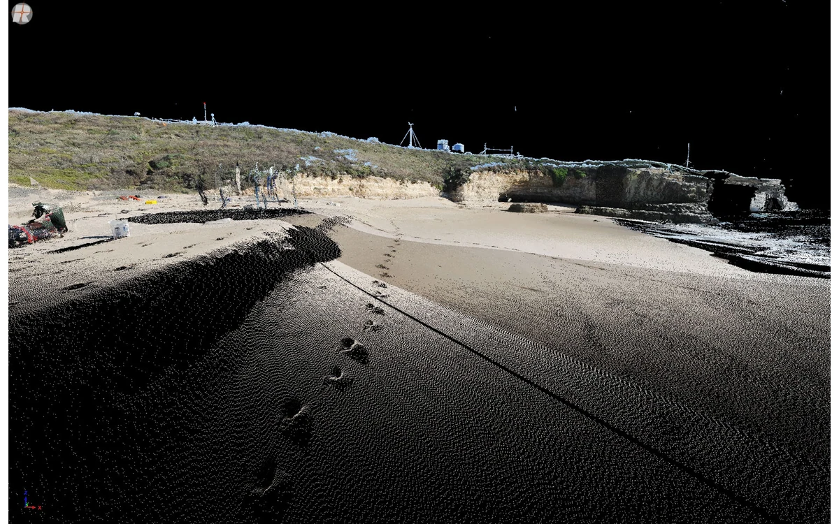
A dense-looking point cloud may still leave a civil measurement question unanswered. Consider a hypothetical large fixed-wing LiDAR survey whose summary reports satisfactory average density, while a reviewer cannot substantiate terrain beneath a vegetated part of the site. The first task is to determine what the density statistic counted and where those observations actually occur.
Nominal sampling versus observed returns
The USGS LiDAR collection specification distinguishes aggregate nominal pulse density, pulse spacing, first-return data and spatial distribution. It specifies which data are used for particular assessments rather than treating every point in a combined cloud as interchangeable. Its requirements serve 3DEP collection objectives and should not be copied into an unrelated UAV contract without explicit adoption. [35]
In the hypothetical fixed-wing review, the producer would identify whether the reported statistic uses planned sampling, recorded first returns, all returns or a filtered subset. The spatial denominator would also be defined. A figure calculated over a convenient bounding rectangle would answer a different question from one calculated over the actual required delivery area.
The reviewer would ask whether overlapping strips or multiple returns contribute to the total. That is not an accusation of incorrect processing; it is a request to make the statistic reproducible. The record should allow another analyst to select the same points and calculate the same coverage summary.
Spatial gaps and surface properties
USGS treats data voids separately from regularity of point distribution. The collection text identifies circumstances involving water, low near-infrared reflectivity and shadowing where a void may arise, and distinguishes those from coverage supplied by another swath. Its distribution test is explicitly not a substitute for pulse-spacing or void assessment. [35]
A proposed diagnostic for this civil dataset is a set of spatial coverage layers made from clearly defined point selections. The reviewer would inspect maps at useful feature scale, not only a project-wide average. Each suspected gap would be tied back to its swath identity and required surface. A gap over a measurement-critical boundary deserves different attention from an excluded area already agreed with the client.
No generic gap size or minimum point count is offered here. The appropriate assessment resolution and acceptance limits belong to the actual project method. A display with large point symbols should not be mistaken for evidence that the spaces between those symbols contain observations.
Classification and accuracy requirements
The USGS processing guidance separates classification, internal precision and absolute vertical accuracy. For ground-related validation, it describes comparisons involving ground-classified points and independent surveyed checkpoints. A count of all observations therefore cannot establish either the presence of suitable ground points or their positional agreement with reference evidence. [36]
In the example, the reviewer would inspect the classified cloud as well as the unfiltered observations. The question would be whether the terrain model is constrained by plausible ground observations, not merely whether the software assigned a ground label. Areas supported mainly by interpolation would be described separately from areas with checked observations.
Evidence from delivered data
The USGS deliverables specification asks for a density and spacing assessment stating which points were tested and how, together with geometric-quality reporting and collected swath extents. Those requirements illustrate a traceable reporting package within 3DEP rather than a universal fixed-wing sensor guarantee. [37]
For this hypothetical handover, the useful package would include point-selection rules, coverage layers, classification records, gap explanations and independently assessed accuracy. The quality report would state what was observed, what was inferred and what remains unverified. Revisions to filtering or the ground model would be linked to the version actually delivered.
The decision is not whether the dataset can be described as dense. It is whether the observations supporting the requested civil surface are sufficiently complete and independently checked under the agreed method. Density is one acquisition descriptor; usable coverage and demonstrated accuracy remain separate questions.
Related reading
Sources
- [35] Lidar Base Specification: Collection Requirements
- [36] Lidar Base Specification: Data Processing and Handling Requirements
- [37] Lidar Base Specification: Deliverables
Visual summary
Concept illustration
Read diagram notes
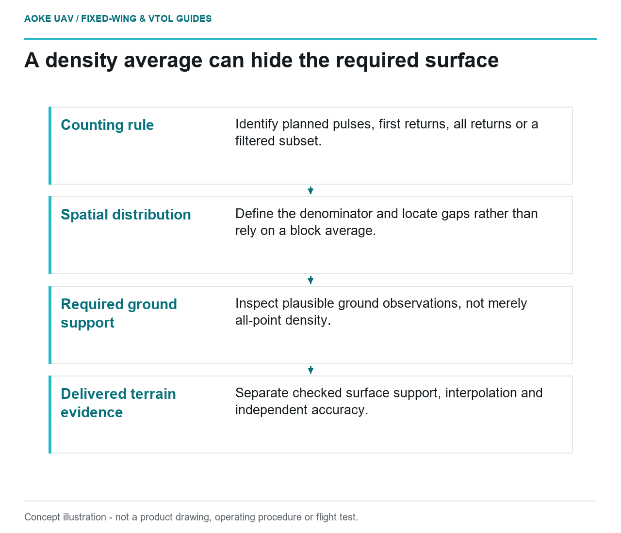
- Counting rule: Identify planned pulses, first returns, all returns or a filtered subset.
- Spatial distribution: Define the denominator and locate gaps rather than rely on a block average.
- Required ground support: Inspect plausible ground observations, not merely all-point density.
- Delivered terrain evidence: Separate checked surface support, interpolation and independent accuracy.