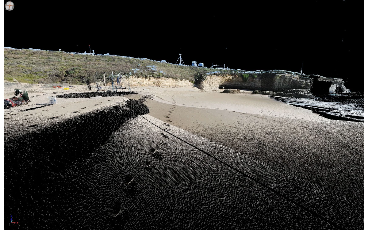
An elevation file needs more explanation than three letters in its name. In a hypothetical large fixed-wing civil survey, a client receives a raster labeled DTM but cannot tell whether it includes buildings, vegetation or interpolated gaps. The handover task is to define what the product represents and how it was constructed, not to settle its meaning through the filename alone.
Define surface and terrain intent
The USGS LiDAR deliverables specification distinguishes a bare-earth topographic DEM from other datasets, including digital surface models and height-above-ground products. Its requirements are tied to 3DEP and include specific production and metadata provisions. They are a documented example, not a universal naming convention imposed on every civil UAV project. [37]
For this hypothetical fixed-wing handover, the producer would state the intended physical surface in ordinary language. A product retaining observed upper surfaces would be described differently from one constructed to represent ground. If the contract uses DSM or DTM terminology, the delivery note would repeat the project’s agreed definition instead of relying on assumed acronym meanings.
The description would also state the intended use and unsupported uses. A surface prepared for visual context would not automatically become suitable for drainage design or a detailed engineering measurement because another application can open the file.
Classification and interpolation choices
USGS requires reporting the interpolation method for its bare-earth raster production and identifies ground-classified observations as the source for that DEM. Its processing specification separately addresses classification consistency and accuracy validation. These are distinct steps in the production chain, not interchangeable assurances. [37] [36]
The example delivery would therefore identify source observations, included classes, excluded classes and the surface-construction method. Where manual edits occurred, their scope and purpose would be recorded. If the raster incorporates another source or a modeled replacement, that contribution would be identified rather than attributed to the fixed-wing observations.
Cell size would be reported as a representation choice. The recipient would also receive enough construction information to distinguish the raster grid from the underlying observation support. A smaller output cell does not create an additional survey observation or establish a stronger accuracy claim.
Vegetation and structure exclusions
The USGS bare-earth delivery provisions describe particular treatments for features such as bridges, culverts, water and voids. Those treatments demonstrate that a surface product embodies explicit decisions, not simply the removal of everything above the lowest visible points. Their exact adoption belongs to the applicable project specification. [37]
In the hypothetical handover, the producer would document how vegetation, structures and unsupported regions were treated. A mask, breakline or exclusion layer would be identified by version and linked to the corresponding raster. Areas filled through interpolation would remain distinguishable in the record from areas directly supported by accepted observations.
This article addresses naming and delivery after a surface has been created. Whether a sensor actually observed ground beneath vegetation is a separate measurement question. The handover should link to that evidence, not repeat a sensor comparison or assume that a ground label proves visibility.
Metadata and independent checks
USGS processing guidance requires a documented project coordinate reference system and distinguishes accuracy assessment of the point data from assessment of the derived DEM. Its deliverables guidance calls for accompanying metadata and quality-analysis materials. Those requirements show why a source-cloud test should not silently stand in for verification of every derived surface. [36] [37]
The hypothetical recipient would receive horizontal and vertical definitions, units, acquisition dates, processing history and checks relevant to the delivered raster version. The record would identify exclusions and limits of reference coverage. Unknown reference quality would remain a limitation, not be disguised by precise-looking elevations.
The acceptance statement would describe the surface actually handed over and the evidence supporting its declared use. Relabeling a DSM as DTM cannot supply missing ground observations, undo undocumented edits or establish project suitability. Clear definitions and traceable construction make the product understandable before anyone relies on it.
Related reading
- Vegetation Surfaces Are Not Automatically Ground Elevation
- Slope Monitoring With Repeat UAV Surface Models
Sources
- [37] Lidar Base Specification: Deliverables
- [36] Lidar Base Specification: Data Processing and Handling Requirements
Visual summary
Concept illustration
Read diagram notes
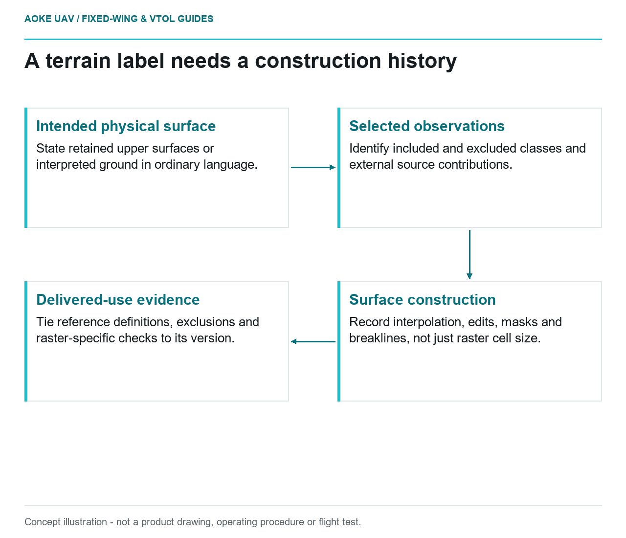
- Intended physical surface: State retained upper surfaces or interpreted ground in ordinary language.
- Selected observations: Identify included and excluded classes and external source contributions.
- Surface construction: Record interpolation, edits, masks and breaklines, not just raster cell size.
- Delivered-use evidence: Tie reference definitions, exclusions and raster-specific checks to its version.