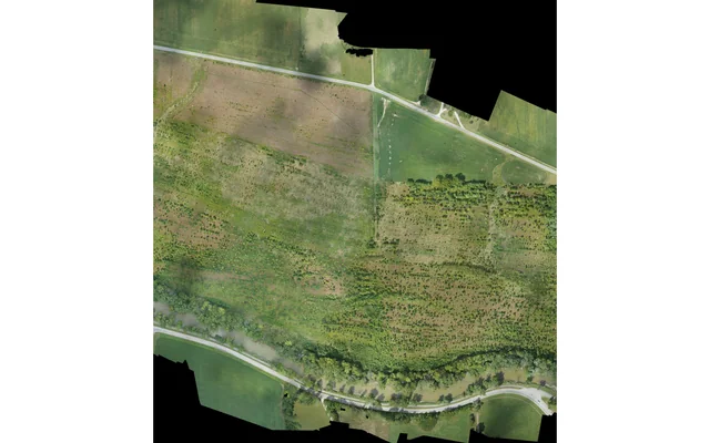
 Surveying & Mapping
Define the map, reference frame, coverage and acceptance evidence before choosing a large fixed-wing aircraft or survey payload.
Image: U.S. Geological Survey, National Uncrewed Systems Office (individual creator not credited on asset page) / public-domain. Resized for this page.
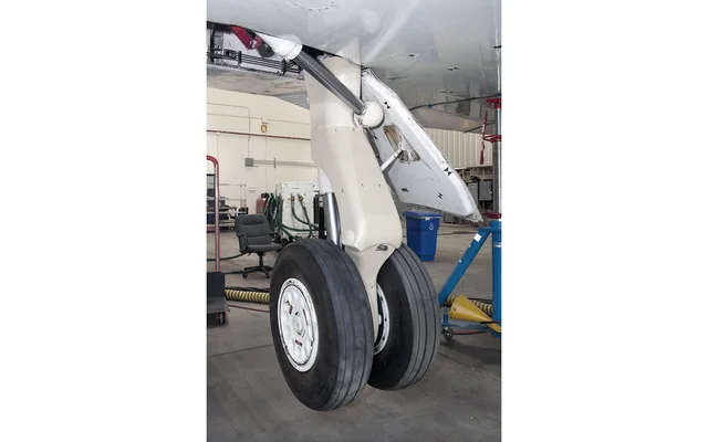 Additive Manufacturing
Separate ground tooling, geometry prototypes and proposed airborne hardware with distinct evidence and decision records.
Image: NASA / Ken Ulbrich / public-domain. Resized for this page.
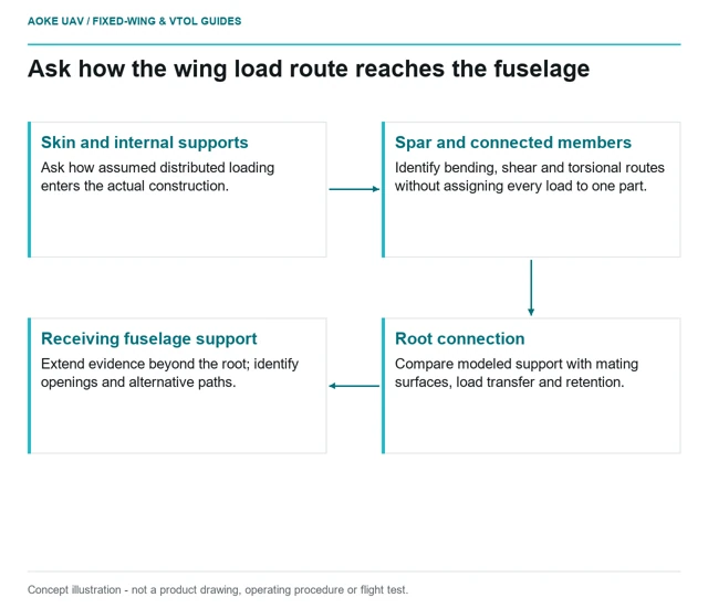 Airframes & Composites
Trace a hypothetical survey wing from distributed lift to its root fittings, cutouts and configuration-specific structural evidence.
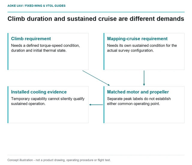 Propulsion & Components
Compare climb and cruise as separate operating points, with duration, thermal conditions and installed aircraft evidence attached to each.
 Inspection & Monitoring
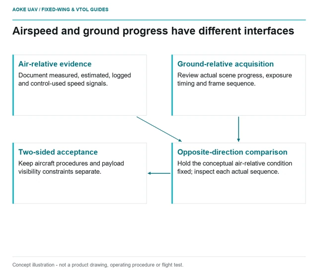
Airspeed belongs to aircraft control; ground progress belongs to the image-acquisition problem. Keep the two constraints separate when scoping corridor evidence.
 Surveying & Mapping
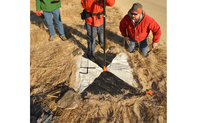
Fine image pixels describe sampling, not independent proof of the completed survey product’s positional accuracy.
Image: Dann Blackwood / U.S. Geological Survey / public-domain. Resized and cropped.
 Additive Manufacturing
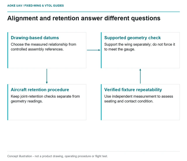
Plan printed wing-root alignment fixtures around controlled datums, supported seating, repeatability and separate retention checks.
 Airframes & Composites
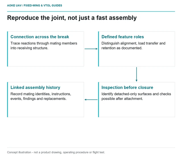
Review alignment, retention, inspection access and assembly records for a large fixed-wing aircraft with removable survey wings.
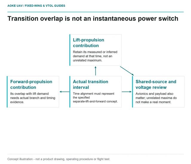 Propulsion & Components
Review transition as a simultaneous-load state, linking propulsion overlap and voltage observations to the actual fixed-wing VTOL configuration.
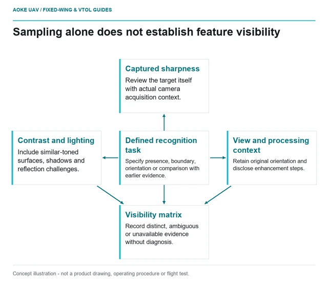 Inspection & Monitoring
Adequate sampling does not guarantee that a small feature is distinguishable. Evaluate contrast, exposure, orientation and original-frame evidence before claiming visibility.