Gusts and Inspection Image Consistency
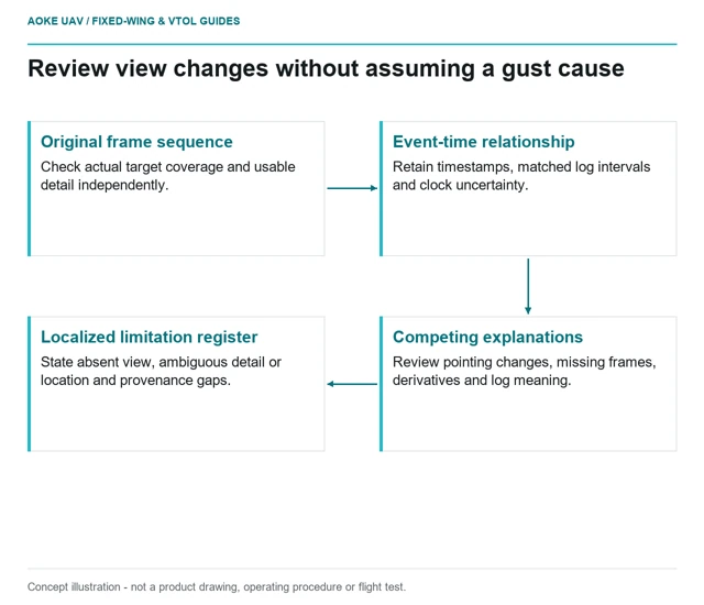
Review time-linked original frames to distinguish missing coverage, weak visibility and possible attitude-related acquisition problems without inventing a cause.
GAUTEN UAV / TOPIC ARCHIVE
Review time-linked original frames to distinguish missing coverage, weak visibility and possible attitude-related acquisition problems without inventing a cause.
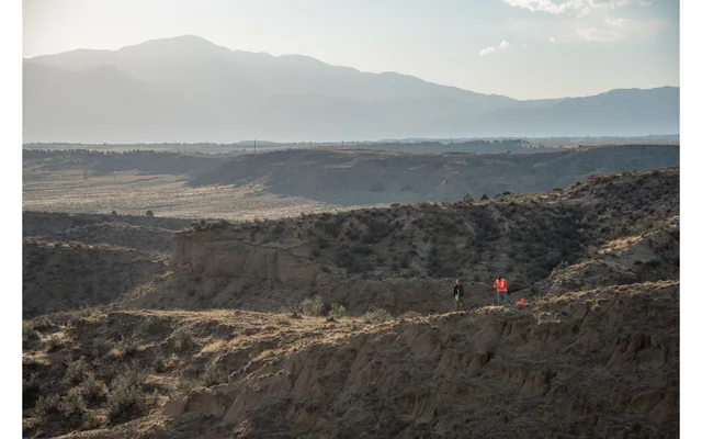
Treat terrain-relative camera height, image scale and terrain clearance as distinct questions when planning long fixed-wing survey lines.
Image: U.S. Geological Survey, National Uncrewed Systems Office (individual photographer not credited on asset page) / public-domain. Resized for this page.
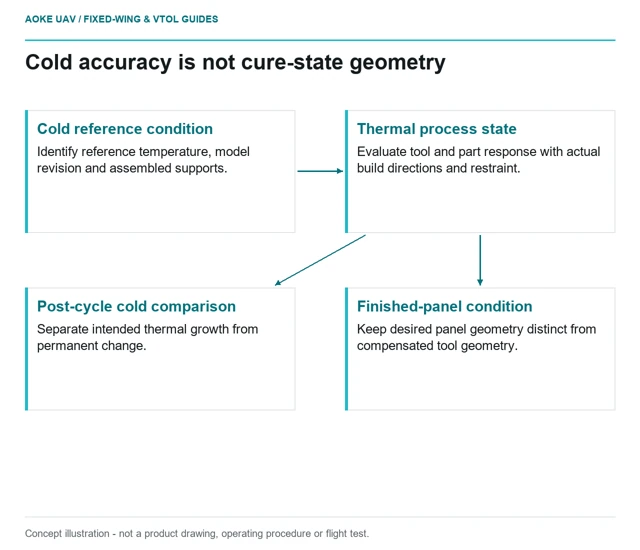
Understand what cold-tool measurements omit and how material, build direction, reference conditions and assembled-tool evidence shape thermal review.
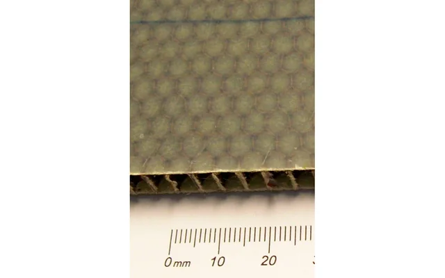
Map trimmed core, hatch boundaries and damaged closeouts before assuming that a large composite survey wing excludes moisture.
Image: Ulfbastel / public-domain. Resized for this page.
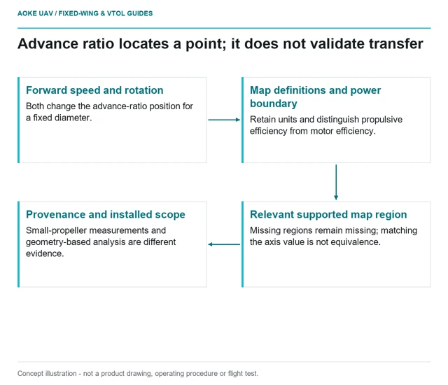
Read advance ratio and power definitions before comparing propeller-map points, keeping measured and analytical data within their documented scope.
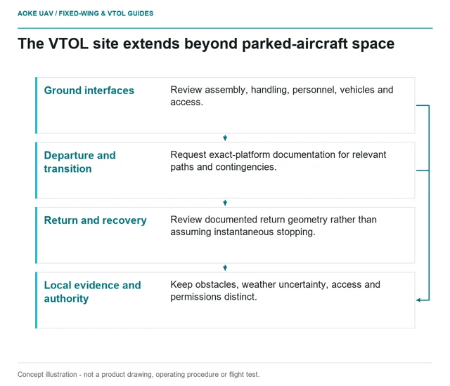
A vertical departure point is only part of a large fixed-wing VTOL site. Separate ground work, transition, return and contingency questions from access permission.
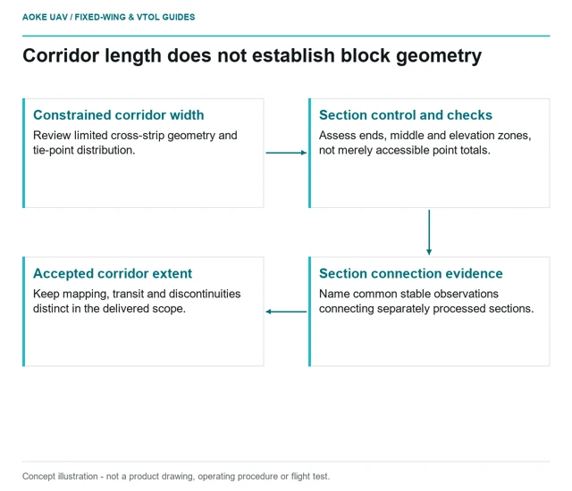
Review long narrow fixed-wing surveys for cross-strip geometry, control access and representative independent checks, not only route length.
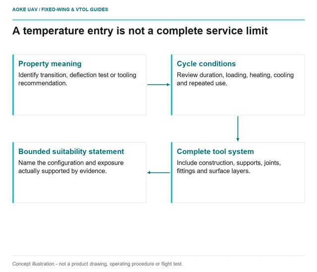
Read printed-tool temperature claims through property definitions, sustained exposure, pressure support and the complete assembled surface system.
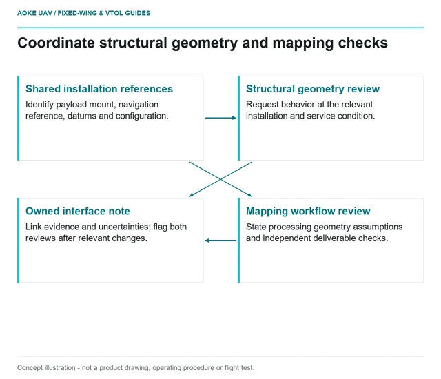
Coordinate structural deformation questions with payload geometry, calibration assumptions and independently checked survey output.
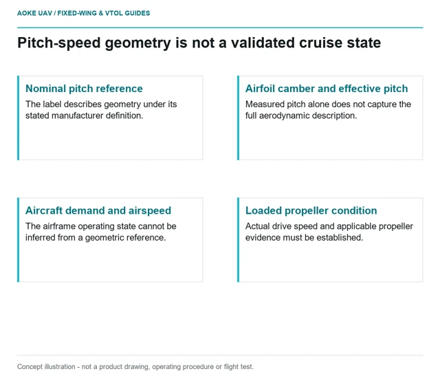
Interpret nominal pitch speed as a geometric reference rather than a guaranteed aircraft airspeed, with camber and operating-point evidence kept visible.