Concept illustration
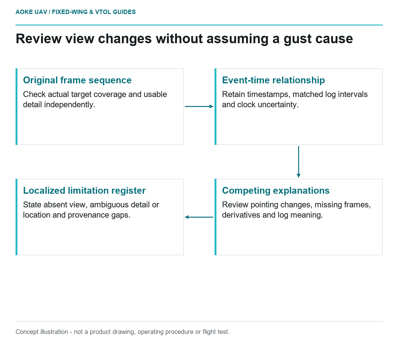
Read diagram notes
- Original frame sequence: Check actual target coverage and usable detail independently.
- Event-time relationship: Retain timestamps, matched log intervals and clock uncertainty.
- Competing explanations: Review pointing changes, missing frames, derivatives and log meaning.
- Localized limitation register: State absent view, ambiguous detail or location and provenance gaps.
Variable roll and useful footprint
A gust report is a reason to examine evidence, not a verdict on every image. In this hypothetical civil monitoring example, a large fixed-wing aircraft collects a corridor sequence and reviewers notice intermittent changes in the visible asset envelope. Their job is to determine which observations remain usable and which require follow-up. They are not being asked to certify flight-control performance or diagnose an aircraft fault from a few photographs.
WMO describes turbulence as capable of producing changes in aircraft attitude or height and notes that response differs among aircraft. [1] That background supports looking for time-localised variation. It does not establish how a particular aircraft rolled, what its camera saw or whether a controller corrected adequately. For this proposed fixed-wing review, request the original frames and corresponding acquisition records before describing the event as a gust-induced data gap.
Sharpness and overlap variability
Keep coverage and image usability as separate review fields. A frame may include the correct corridor section while leaving the requested feature ambiguous; another may be sharp but point away from the required view. In the proposed acceptance exercise, examine the actual target region in successive originals and record the demonstrated evidence. Do not decide usability from an overview thumbnail or from the fact that image files exist at regular intervals.
USGS treats acquisition planning, calibration, quality control and metadata as connected parts of an imagery workflow. [2] Apply that principle here by retaining the processing history and distinguishing original captures from a stitched presentation. The proposed reviewer should ask which source frame supports an observation and whether neighbouring frames independently show the same feature. This is an evidence-selection method, not a universal overlap requirement or a promise that reconstruction can recover every missing view.
Time-tagged observations and logs
Before aligning aircraft events with imagery, ask the integrator how camera time relates to the flight record. Preserve uncertainty about command time, capture time and any clock offset. In this scenario, the review table would include image identifier, original timestamp, matched log interval, target visibility and confidence in the time match. These fields are an original documentation proposal; their presence does not demonstrate that the event clocks were synchronised correctly.
Compare candidate explanations rather than choosing the weather explanation first. The hypothetical reviewer would ask whether the camera pointing changed, whether frames are missing, whether the image being examined is a derivative and whether the relevant log field has been interpreted correctly. WMO provides general turbulence mechanisms, not a forensic diagnosis of the sequence. [1] Where the event match is uncertain, label the association as unconfirmed instead of stating that a particular gust caused a particular image defect.
This review also needs a distinction between an aircraft remaining under control and the payload meeting its evidence requirement. Neither is proof of the other. For the large fixed-wing monitoring brief, require the payload acceptance decision to refer to captured views, while flight-safety assessment remains with the responsible operational team. Do not use a controller capability statement, a smooth path plot or a general wind forecast as a replacement for inspecting the required asset evidence.
Flagging unusable sections for reacquisition
In the proposed workflow, group uncertain observations by corridor section and by reason: absent view, ambiguous detail, uncertain location or insufficient provenance. Preserve the original evidence behind each flag. USGS highlights calibration parameters and uncertainties in metadata as aids to assessing fitness for use. [2] A limitation register should therefore travel with the imagery rather than being replaced by a single overall quality label that conceals local problems.
A reacquisition request should specify the missing evidence, not prescribe an undocumented manoeuvre. The responsible team can then determine whether another fixed-wing acquisition, a revised observation scope or a different inspection method is appropriate. Large fixed-wing reconnaissance remains useful even when some features require other methods. This article defines no gust tolerance, manoeuvring limit or safe operating condition; it also supplies no asset-specific defect criteria and no assurance that reacquisition will resolve every ambiguity.
Related reading
- Deciding Which Survey Gaps Require Reacquisition
- Propulsion Vibration Across Structure and Survey Payloads