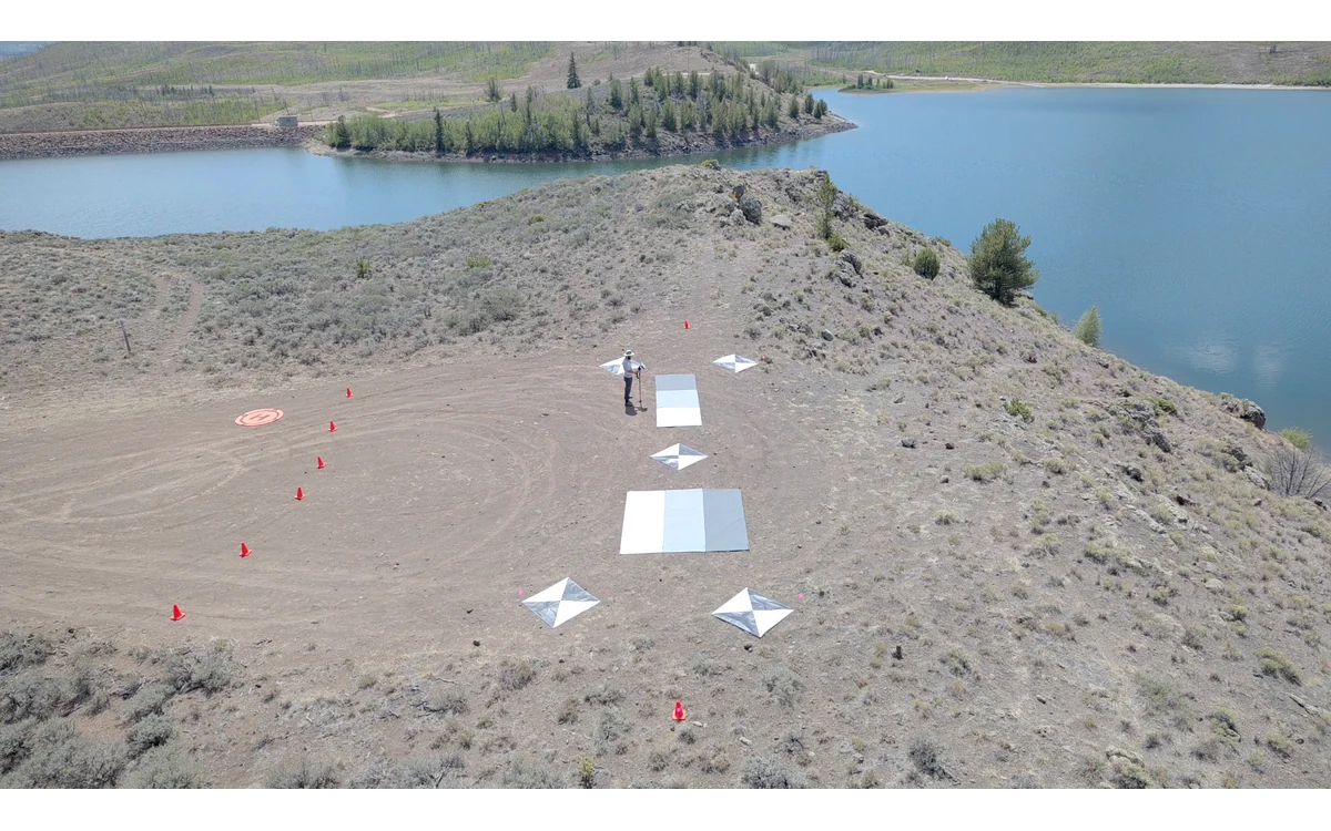
A broad survey block is not automatically one radiometric observation. Consider a hypothetical large fixed-wing civil vegetation-monitoring mission that crosses successive strips while clouds intermittently cover the sun. The integration team returns with complete geographic coverage, but the processing team notices brightness differences associated with acquisition periods. The task is to decide whether the data support the planned quantitative comparison, not simply to remove visible seams.
Irradiance changes during acquisition
The RedEdge-MX and DLS 2 Integration Guide describes measuring ambient light and sun angle and recording those observations in image metadata. It says supported processing can use that information to correct global illumination changes such as clouds covering the sun. That statement describes a particular sensor system and intended processing use; it is not an all-weather accuracy guarantee. [2]
For the hypothetical fixed-wing mission, retain original image timestamps and illumination-related metadata so strip membership can be compared with acquisition conditions. Keep a field log of observed transitions and any pauses or separate flight blocks. Treat these as evidence about the collection, not as proof that the light sensor experienced exactly the illumination of every ground surface.
Panel and sensor corrections have limits
USGS identifies constant illumination during acquisition as an assumption limiting empirical-line calibration, and notes that solar and viewing geometry also affect reflectance. Consequently, a panel observation and a sunlight-related metadata field should not be presented as automatic proof of consistency across the entire hypothetical survey. [1]
Ask the processing team which corrections were enabled, which inputs they used and which conditions the documented method assumes. Preserve the raw observations alongside corrected outputs. A visually uniform preview is not the same as evidence that values remain comparable for the intended civil analysis. Conversely, a seam should prompt investigation rather than an immediate conclusion that all of the mission is unusable.
For a large fixed-wing collection, propose a review by acquisition segment rather than relying on a single average for the whole block. Keep any panel captures linked to their actual times and associated flights. If the correction method cannot account for an observed condition, say so without inventing an adjustment from a neighboring strip.
Compare strips and acquisition periods
In the proposed investigation, select overlapping observations of the same surfaces from different acquisition periods. Inspect the original bands, exposure metadata, illumination records and corrected results together. Record how sample areas were chosen so the comparison is reproducible. This is an editorial review workflow, not a prescribed statistical acceptance test or a threshold for a particular sensor.
Separate radiometric assessment from display processing. Ask whether the mosaic renderer changed appearance to blend transitions and whether the exported quantitative product uses that same adjustment. Compare discrepancies with field conditions and raw images before interpreting a tonal boundary as a real vegetation boundary. The purpose is to establish what the exported values mean, not to reward whichever setting creates the smoothest picture.
Flag or reacquire inconsistent areas
For this hypothetical fixed-wing handover, document affected strips or regions and the evidence behind their disposition. The project team might accept a limited-use area, exclude it from quantitative comparison or request acquisition under a more consistent plan. Any new flight must remain within the actual aircraft’s operating documentation and authorization; this article provides no weather operating limits.
USGS recommends calibration metadata and uncertainties to help make datasets comparable and usable by others. Carry that principle into the exception record: state the processing revision, correction inputs, acquisition periods and unresolved limitations. [1]
The civil deliverable should distinguish complete coverage from demonstrated radiometric consistency. If cloud transitions remain unexplained, do not describe the output as uniformly calibrated merely because every strip processed successfully. A defensible outcome makes the limits spatially and temporally visible, allowing the receiving analyst to avoid comparisons that the acquisition evidence does not support.
Related reading
- Reflectance Panels in Fixed-Wing Multispectral Workflows
- Weather Repeatability in Thermal Monitoring
Sources
- [2] MicaSense RedEdge-MX and DLS 2 Integration Guide
- [1] Guidelines for Calibration of Uncrewed Aircraft Systems Imagery
Visual summary
Concept illustration
Read diagram notes
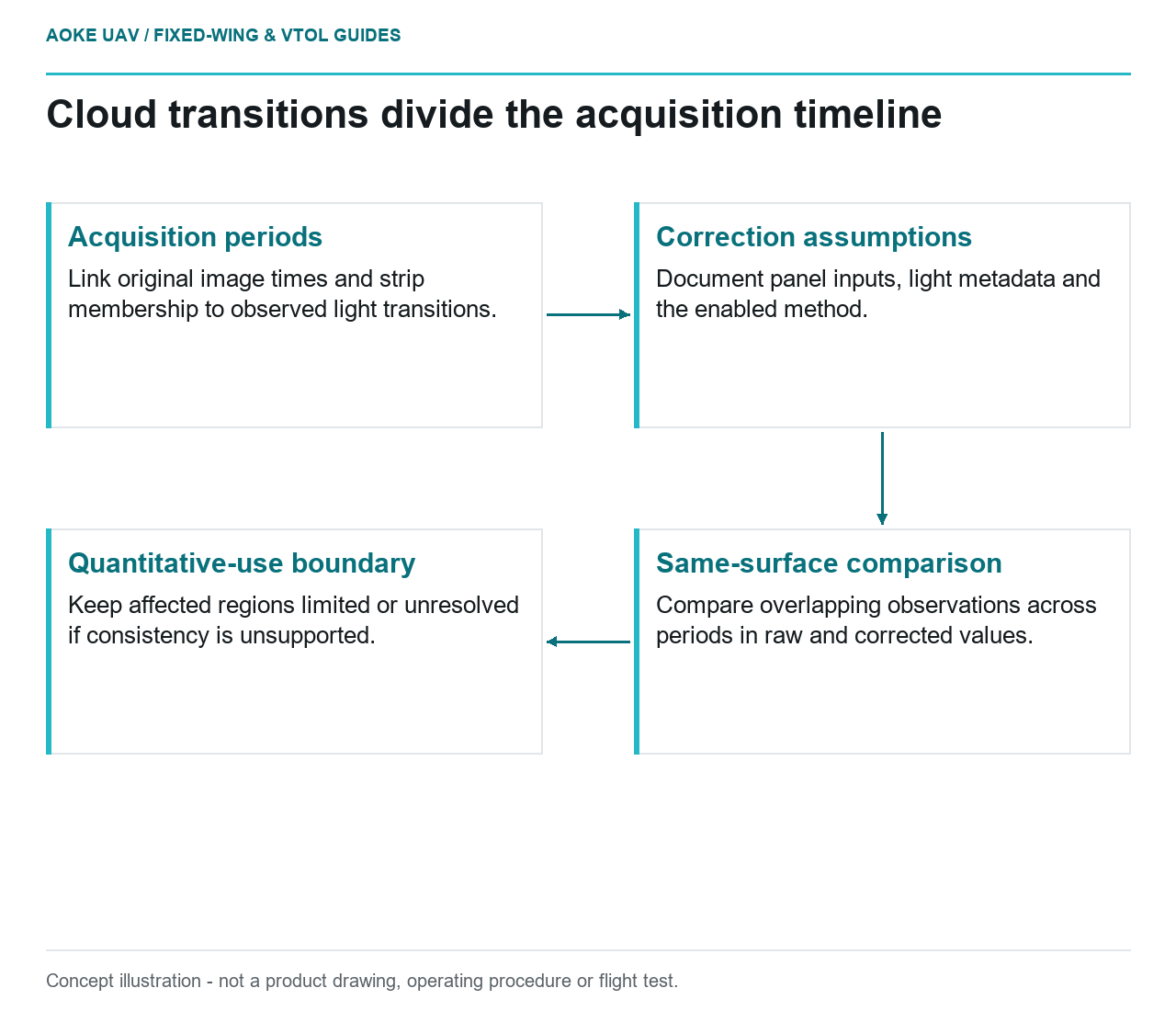
- Acquisition periods: Link original image times and strip membership to observed light transitions.
- Correction assumptions: Document panel inputs, light metadata and the enabled method.
- Same-surface comparison: Compare overlapping observations across periods in raw and corrected values.
- Quantitative-use boundary: Keep affected regions limited or unresolved if consistency is unsupported.