Concept illustration
Read diagram notes
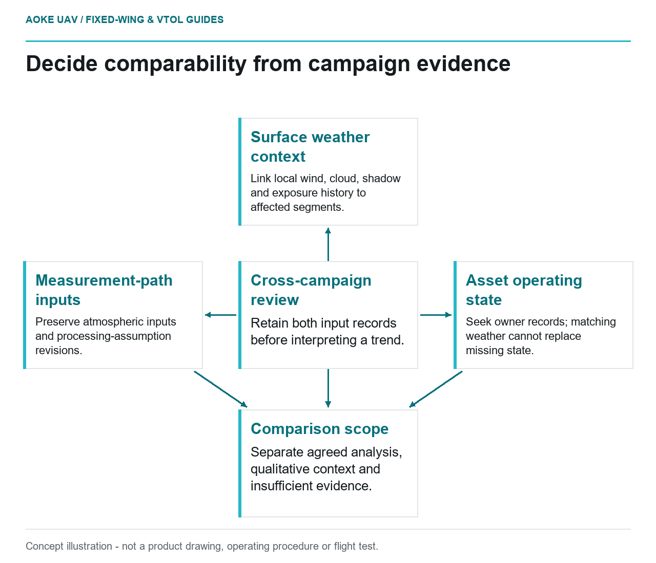
- Cross-campaign review: Retain both input records before interpreting a trend.
- Surface weather context: Link local wind, cloud, shadow and exposure history to affected segments.
- Measurement-path inputs: Preserve atmospheric inputs and processing-assumption revisions.
- Asset operating state: Seek owner records; matching weather cannot replace missing state.
- Comparison scope: Separate agreed analysis, qualitative context and insufficient evidence.
Repeating a route is not the same as repeating a measurement condition. Suppose a civil asset team commissions large fixed-wing thermal overviews of an industrial site on two occasions. One campaign has different wind, cloud and surface conditions from the other. This hypothetical scenario is not an GAUTEN monitoring record. The engineering task is to decide which comparisons remain supported, rather than treating every changed thermal value as changed asset health.
Wind and convective cooling context
The Infrared Training Center’s original switchyard application paper examines solar and wind effects together and discusses convection as part of the equipment’s thermal balance. [5] Its specific examples do not establish a correction or acceptable wind limit for all industrial sites.
For the proposed comparison, request the available wind observations with their time, location and measurement context. Distinguish a site’s local record from a distant weather summary. If the record cannot represent the observation period adequately, state the limitation instead of assigning a uniform condition to the entire campaign.
Keep aircraft-motion records separate from surface-weather evidence. A mission log may help explain the acquisition, but the review should ask whether it actually supplies the weather quantity needed for the asset interpretation. Avoid substituting an available field simply because its label contains the word wind.
Clouds and solar loading
The switchyard study considered surface orientation and solar loading and reported equipment-dependent behavior. [5] That supports treating exposure as a comparison question; it does not justify applying the paper’s case results unchanged to a different asset or declaring all sunny and cloudy datasets equivalent.
Build a proposed campaign summary that retains cloud and shadow observations, acquisition times and any available exposure records. Then connect exceptions to affected image segments. A single weather description such as partly cloudy should not become proof that every interpreted surface had a consistent exposure history.
For a large fixed-wing program, require the reviewer to distinguish sitewide coverage from evidence suitable for comparison. Some locations may remain useful for identifying where follow-up is needed while lacking sufficient context for a temperature trend. Preserve that distinction in the output instead of forcing every asset into one change map.
Atmospheric measurement inputs
FLIR identifies atmospheric temperature, relative humidity and object distance as thermal measurement inputs. [1] These belong to the measurement path and should not be confused with all of the environmental influences on the asset’s physical temperature.
In the hypothetical workflow, compare both campaigns’ input records alongside their weather context. Were the same values used by default? Were values measured locally, estimated or changed during analysis? Retain the original settings and any later revisions. An apparent trend should not hide an undocumented change in processing assumptions.
Include operating state in this proposed evidence review even though it is not weather. Ask the owner whether the asset was functioning in a comparable way during the two observations. If the answer is unavailable, the comparison remains conditional. Weather matching alone cannot close a gap in the underlying asset records.
Limit the comparison to supported observations
Create comparison categories based on documented evidence: suitable for the agreed analysis, useful only as qualitative context, or insufficient for the intended comparison. These are proposed project labels, not standardized thermographic grades. The owner’s applicable asset method must establish any quantitative acceptance conditions.
Require an explanation for excluded data and preserve their originals. An analyst should not delete a cloudy segment merely because it complicates a trend, nor interpret it quantitatively without explaining why the conditions remain acceptable. Record the decision and the evidence on which it rests.
Do not invent a universal wind, humidity or irradiance threshold to complete a survey checklist. Specify that the actual limits must come from the intended asset method and exact payload documentation. Aircraft operating constraints require their own applicable evidence and authorization.
A defensible fixed-wing monitoring report can conclude that some observations are not comparable. Its value lies in separating supported change from unresolved differences and identifying the next evidence needed. That is more useful than a complete-looking trend graph whose weather and processing assumptions cannot be reconstructed.