Concept illustration
Read diagram notes
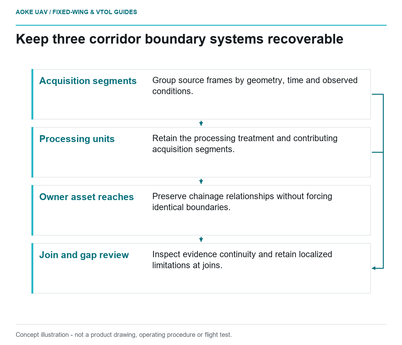
- Acquisition segments: Group source frames by geometry, time and observed conditions.
- Processing units: Retain the processing treatment and contributing acquisition segments.
- Owner asset reaches: Preserve chainage relationships without forcing identical boundaries.
- Join and gap review: Inspect evidence continuity and retain localized limitations at joins.
Segment the evidence, not just the route distance
Imagine a hypothetical civil water-transmission corridor extending from an open plain through a wooded valley to an industrial service area. A large fixed-wing monitoring mission is planned as one long route, but the client needs to know which portions have comparable and usable evidence. Equal-length reporting blocks may not match the actual observation conditions. This is an illustrative data-quality design, not an GAUTEN mission or an operational authorization.
Define segments as reviewable evidence units. In the proposed scheme, a segment can identify a reach with a particular geometry, acquisition interval or processing treatment. Preserve the relationship to the owner’s asset chainage, but do not force every quality boundary to coincide with a round distance. A useful division should help explain why evidence is accepted, limited or missing.
Let terrain and observation needs inform boundaries
USGS imagery guidance notes that tie-point distribution and terrain can affect calibration stability and that projects or processing boundaries may need to be divided accordingly. This is an imagery-processing consideration, not a rule that segmentation solves every geometric problem or guarantees a particular accuracy. [1]
For the hypothetical fixed-wing corridor, consider whether the valley introduces a different view of the requested surfaces than the plain. Identify what is actually visible in each reach and which control or check evidence represents it. If a segment contains a difficult interval, keep that interval identifiable instead of averaging its limitation into a favorable route-wide summary.
Preserve a hierarchy when needed: acquisition segment, processing unit and owner asset reach can have different boundaries. Record their relationships explicitly. If the processing team combines two acquisition units, the final product should still allow a reviewer to recover which source frames and conditions contributed to a disputed location. This is a proposed information structure, not a requirement imposed by the USGS guide.
Record conditions without inventing aircraft limits
USGS identifies measurement time, illumination, viewing geometry and sensor configuration among relevant imagery metadata. Its radiometric discussion also addresses the importance of consistent calibration for comparison. These categories support tracking changing conditions along a route, but they do not define weather limits for an unspecified large aircraft. [1]
In the scenario, mark a change in illumination when the actual observations support it and retain the corresponding image groups. Keep the mission log’s recorded environmental information distinct from an analyst’s interpretation of image quality. Do not infer safe operating conditions from accepted imagery or imply that dividing a route grants permission to fly beyond an authorized operational scope.
At each segment join, inspect whether the requested evidence is continuous and whether an overlap creates contradictory representations. Retain original frames around the boundary. If a missing file sequence or unusable interval interrupts the evidence, record a gap rather than moving the boundary to make the statistics look complete. Segments should reveal problems, not provide a mechanism to hide them.
Use segments as quality and follow-up units
Propose a segment record containing a stable ID, spatial extent, source-image range, acquisition interval, configuration and quality disposition. Keep reference-check applicability visible, especially where independent evidence covers only part of a segment. A segment name alone should not become a claim that all its contents have identical accuracy or visibility.
For a hypothetical rejected valley interval, identify the actual observation that remains unanswered before requesting reacquisition. Ask whether another fixed-wing pass under an assessed plan could address it or whether a different method is needed. Keep the reason, proposed remedy and later acceptance evidence linked to the original segment. No specific flight adjustment is prescribed here.
The final client view can summarize the whole corridor while allowing a reviewer to open each segment’s evidence. That organization makes long-route monitoring more interpretable without reducing it to arbitrary distance blocks. The benefit is a precise account of where conditions, methods or usable observations differ, not a promise that segmentation itself improves the aircraft’s operating capability or establishes legal authority.