Concept illustration
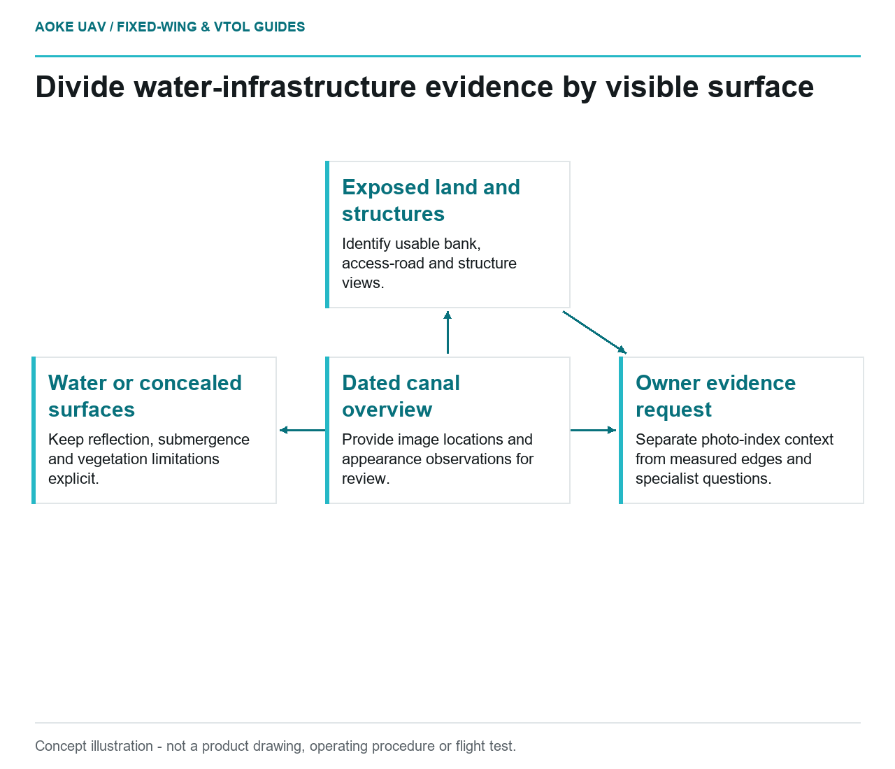
Read diagram notes
- Dated canal overview: Provide image locations and appearance observations for review.
- Exposed land and structures: Identify usable bank, access-road and structure views.
- Water or concealed surfaces: Keep reflection, submergence and vegetation limitations explicit.
- Owner evidence request: Separate photo-index context from measured edges and specialist questions.
Start with a visible observation, not a safety conclusion
Consider a hypothetical reservoir feeder canal with exposed banks, an access road and several service structures. A large industrial fixed-wing aircraft is proposed to collect an overview of the entire alignment. The owner’s immediate question is where a field team should investigate changed access conditions and conspicuous surface features. This is an editorial planning example, not an GAUTEN operation or a finding about any real reservoir.
Define the requested product as a dated observation layer: visible bank edges, vegetation extent, road obstructions and the locations of images requiring review. Keep structural condition, underwater geometry and water chemistry outside that layer. This separation lets the owner commission useful reconnaissance without allowing a complete-looking map to imply that every part of the water infrastructure has been inspected.
Divide land, water and unseen surfaces
NOAA’s lidar decision aid explicitly distinguishes topographic and bathymetric questions and discusses environmental conditions that can leave water-related data gaps. It is a method-selection reference, not a dam or canal inspection procedure. Its relevance here is the need to ask what surface the selected measurement actually represents before commissioning a particular sensor. [1]
In the hypothetical canal, assign exposed embankment surfaces to the overview request, and identify submerged lining and concealed structure interfaces as separate evidence needs. Ask the responsible owner whether a surface appearance observation is useful at each location. If the question concerns an underwater feature, stop treating RGB coverage as an answer and request an applicable measurement method instead.
Create explicit review categories for reflection-obscured water, shaded banks and surfaces concealed by vegetation. These are proposed reporting categories rather than diagnostic classes. An apparently continuous strip of water should not erase those distinctions. The owner needs to know whether the report concerns the visible water surface, an exposed shoreline feature or a land surface beside the canal.
Specify geometry for the actual deliverable
The USGS imagery calibration guide distinguishes pixel sampling from geometric accuracy and connects data quality to control, tie points, calibration and verification. It also recommends retaining calibration information and uncertainty in metadata. Those principles support an imagery-quality discussion; they do not establish water infrastructure acceptance criteria. [2]
For this fixed-wing overview, separate a photo-index deliverable from a measured map. A photo index can direct a reviewer to an image sequence and approximate reach. A measured bank-edge comparison needs a defined reference system, a traceable delineation rule and evidence that the relevant edge can be located reliably. Do not silently promote the first product into the second because both are displayed in the same GIS.
Specify the acquisition time for each reach rather than only the mission date. Ask for owner records that identify relevant water-level or access changes, without assuming those records exist. Retain original frames beside any mosaic so a reviewer can inspect ambiguous boundaries. Document whether a marked line was manually interpreted, reconstructed from imagery or imported from an earlier inventory.
Hand unresolved questions to the asset team
Suppose the illustrative overview shows a pale strip beside an access ramp. The proposed record should describe its appearance and extent within the usable image, identify the frame and state whether the ramp itself was visible. It should not name seepage, deterioration or a water-quality problem without a supporting assessment. The next action is an owner-led question about what additional evidence would discriminate among explanations.
A fixed-wing handover can therefore contain useful observations alongside an unresolved-question register. Give each item an owner, the evidence requested and a disposition such as field review or alternative sensing. Leave unassigned decisions visible rather than closing them through report wording. The result is a bounded overview that helps organize civil maintenance work while leaving submerged condition, structural judgment and water quality to their appropriate methods.
Related reading
- Photogrammetry Over Water: A Fixed-Wing Planning Boundary
- Shoreline Monitoring and Changing Reference Conditions