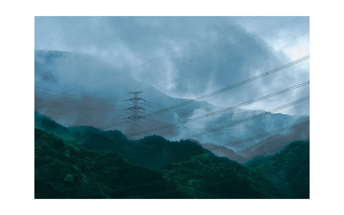
Wind varies with height and terrain
One surface observation is a useful datum, not a description of an entire monitoring route. Consider a hypothetical large fixed-wing civil inspection assignment crossing open ground, rising terrain and an industrial district. The team has a wind reading at its departure site. Its first planning question is what that reading represents: location, height, time and exposure. Its second is which parts of the proposed route differ from that observation setting.
WMO defines wind shear through differences in airflow velocity between neighbouring layers or columns, including changes in speed or direction. Its aviation guidance also describes low-level jets and terrain-modified flow. [1] Those mechanisms explain why a surface reading cannot be assumed to describe every height or location. They do not establish that a particular route will encounter a specific hazard, nor do they provide a safe operating envelope for an unspecified fixed-wing aircraft.
Mechanical turbulence near obstacles
WMO identifies wind strength, surface roughness and near-surface atmospheric stability as influences on mechanical turbulence. It also describes more complex airflow around hills, ridges and valleys. [1] In this proposed planning exercise, place known terrain transitions and obstacle-rich surroundings alongside the available weather information. The point is to expose gaps in representativeness, not to calculate a permitted distance from a building or invent an obstacle-wake boundary.
Ask a meteorologically qualified provider which observations or forecasts are relevant to the route and intended height range. Record the product’s issue time, applicable area and stated limitations. Treat a missing profile as missing evidence rather than interpolating a reassuring answer from the departure-site reading. This is an original evidence-management proposal. Actual site evaluation, weather decisions and aircraft operation remain with the responsible team under its applicable documentation and authorisations.
Data-quality and aircraft considerations
Keep two decision records. One concerns whether the actual aircraft may operate under its documented procedures; the other concerns whether the acquired images meet the owner’s observation question. For this large fixed-wing scenario, a completed route would not automatically close the second record. Request representative originals and coverage notes from sections where acquisition conditions may differ, without using image appearance as a substitute for a flight-safety assessment.
WMO notes that turbulence effects differ among aircraft and that converting general forecast parameters into aircraft response requires aircraft-specific consideration. [1] Consequently, this article does not turn a weather category, a gust forecast or a surface value into an airframe loading claim. Nor should a camera-quality target become an instruction to change flight speed or height. Keep aircraft limitations anchored to the exact platform documentation rather than general meteorological background.
In the proposed review, weather evidence would be time-linked to the acquisition record. If one section has inconsistent views, preserve the original images and ask whether the available weather and aircraft records support a plausible explanation. Do not conclude that wind caused the problem merely because conditions differed at departure. The purpose of the record is to support review and uncertainty management, including the possibility that timing, pointing or another acquisition factor remains unresolved.
Use appropriate meteorological evidence
A useful weather brief for this hypothetical fixed-wing corridor mission would identify which route sections are represented by each product and which are not. Separate observed conditions from forecasts, and separate either from assumptions made by the project team. WMO’s discussion of shear, stability and terrain is explanatory context for asking these questions, not a route-specific forecast. [1] The same discipline applies when the weather appears benign: absence of a reported problem is not comprehensive route evidence.
End the planning review with explicit unresolved items, responsible owners and decision points defined by the actual operating procedures. The resulting deliverable might be a revised observation scope, a request for better weather information or a decision by the authorised team not to proceed. A large fixed-wing aircraft has a meaningful reconnaissance role only within that documented decision chain. This article supplies no universal wind limit, assured imaging outcome or legal permission, and no asset-condition conclusion follows from the weather record.
Related reading
- Terrain Relief and Scale Variation Across Fixed-Wing Images
- Atmospheric Conditions in Propulsion Data Comparisons
Sources
Visual summary
Concept illustration
Read diagram notes
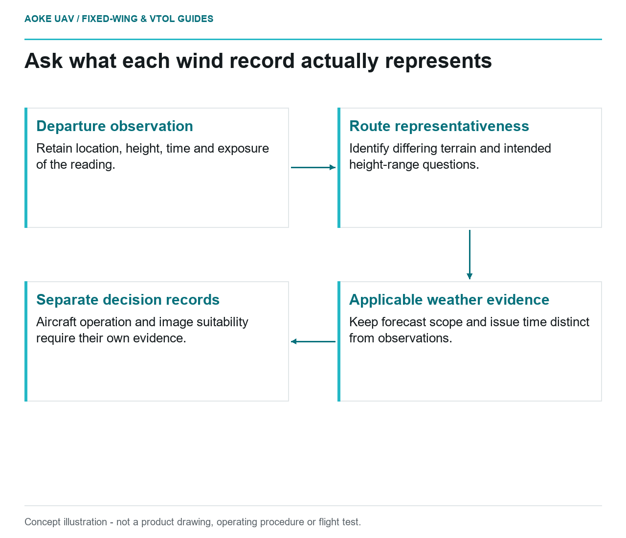
- Departure observation: Retain location, height, time and exposure of the reading.
- Route representativeness: Identify differing terrain and intended height-range questions.
- Applicable weather evidence: Keep forecast scope and issue time distinct from observations.
- Separate decision records: Aircraft operation and image suitability require their own evidence.