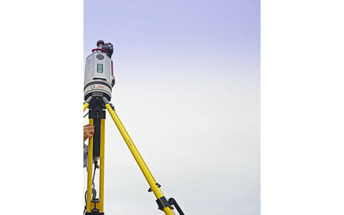
The useful comparison between LiDAR and photogrammetry begins with a feature, not a winner. A hypothetical civil buyer wants a large fixed-wing survey of a site containing open ground, vegetation and structures. Before comparing payload brochures, the buyer needs to decide which surfaces must be represented, which features must be visible and how the delivered measurements will be checked.
Required surface and feature visibility
USGS imagery guidance describes geometric reconstruction through camera calibration, acquisition geometry and tie points. Its discussion notes the role of texture and stable matching surfaces in geometric quality. An image-derived model should therefore be evaluated against the actual scene and required feature rather than against the mere presence of photographs over the area. [6]
The USGS LiDAR collection specification separately addresses returns, point distribution, data voids and conditions affecting collection. Its vegetation provisions require adequate ground observations for the specified bare-earth objective. These are 3DEP requirements, not proof that any selected LiDAR observes all ground under every canopy. [35]
For this hypothetical site, the buyer would separate a visible top-surface requirement from a ground-elevation requirement. A concealed surface would remain an evidence question for either proposal. If a bidder cannot describe which observations constrain it, a smooth rendered model would not close the gap.
Sensor integration and acquisition geometry
The fixed-wing integration review would compare complete installed configurations. The requested records would include the payload envelope, viewing or scanning geometry, navigation reference locations, power demand, storage path and service access. These are proposed procurement questions; no aircraft capacity or sensor operating envelope is established by this article.
A large airframe bay might accommodate a package physically yet leave its measurement view obstructed. Conversely, a nominal swath or image footprint might include areas that do not satisfy the project’s observation needs. Each proposal would need to show how planned aircraft paths, actual sensor geometry and usable observations connect. Area coverage would be evaluated after those boundaries are defined, not advertised as a universal daily output.
Calibration and accuracy evidence
USGS explicitly cautions against treating image GSD as a direct measure of geometric accuracy. Its calibration guidance connects data quality to control, tie points and verification. A fine pixel dimension is therefore a sampling description, not sufficient evidence for a photogrammetric accuracy promise. [6]
For LiDAR, the USGS processing specification distinguishes internal geometric precision from absolute accuracy and requires independent checkpoints separate from calibration control. That distinction is useful when reading a proposal: agreement between overlapping strips does not replace agreement with an independent reference. The actual contractual criteria still need to be selected for this project. [36]
In the example tender review, both bidders would identify the reference survey, spatial extent of testing, treatment of excluded areas and configuration represented by the calibration evidence. A result from another payload installation or unrelated terrain would be contextual information, not automatic acceptance of the proposed dataset.
Output and processing requirements
The USGS LiDAR deliverables guidance calls for processing history, calibration and adjustment information, quality analyses and ancillary metadata within its 3DEP context. It demonstrates that a defensible delivery is more than a point-cloud filename. It does not mandate the same package for every private civil survey. [37]
The hypothetical buyer would specify whether the desired output is imagery, a classified cloud, an elevation surface or a feature inventory. Processing assumptions and permitted interpolation would be agreed before acquisition. Additional manual review, specialist interpretation or another observation method would be identified rather than buried in a sensor comparison table.
The resulting choice could differ by feature within the same site. A reasoned decision records what each method can substantiate, what remains uncertain and how acceptance will be demonstrated. The aircraft and sensor are parts of that measurement chain; neither a technology label nor a detailed rendering proves the final civil deliverable.
Related reading
- LiDAR Point Density Versus Usable Coverage
- A Mission-First Power Architecture for Large Fixed-Wing UAVs
Sources
- [6] Guidelines for Calibration of Uncrewed Aircraft Systems Imagery
- [35] Lidar Base Specification: Collection Requirements
- [36] Lidar Base Specification: Data Processing and Handling Requirements
- [37] Lidar Base Specification: Deliverables
Visual summary
Concept illustration
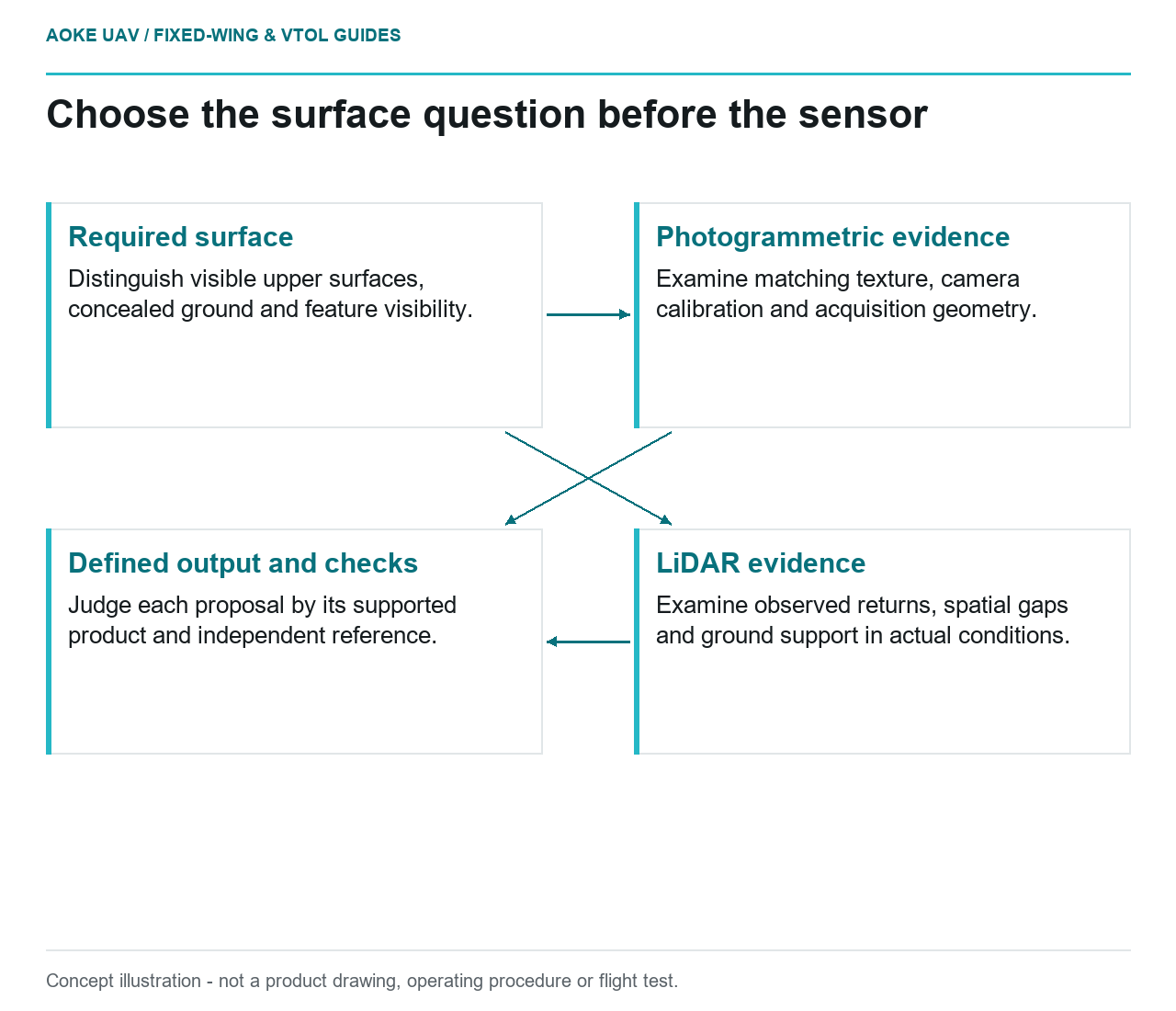
Read diagram notes
- Required surface: Distinguish visible upper surfaces, concealed ground and feature visibility.
- Photogrammetric evidence: Examine matching texture, camera calibration and acquisition geometry.
- LiDAR evidence: Examine observed returns, spatial gaps and ground support in actual conditions.
- Defined output and checks: Judge each proposal by its supported product and independent reference.