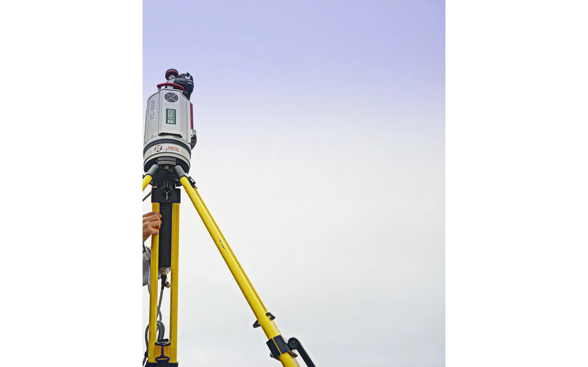
Two overlapping LiDAR strips can agree with each other without proving that either is correctly positioned relative to the project reference. In a hypothetical large fixed-wing civil survey, a processor presents a clean overlap comparison as the main accuracy evidence. The reviewer needs two separate questions answered: how consistently the strips fit, and how the delivered measurements compare with independent ground evidence.
Internal consistency across overlaps
USGS defines data internal precision as internal geometric quality without regard to surveyed ground control. Its LiDAR processing guidance treats smooth-surface precision and interswath consistency separately, and describes assessment across project overlaps rather than a single attractive sample. These are 3DEP requirements, not an automatic acceptance specification for every private survey. [36]
For the hypothetical review, each strip would retain its identity through processing. The analyst would inspect overlap differences spatially and record the selected surfaces, point filters and exclusions. A project-wide summary would be accompanied by locations of systematic or localized disagreements. Different surface types would not be pooled without explaining how the comparison handles them.
This fixed-wing investigation would distinguish an apparent difference caused by a changing scene from a persistent pattern tied to collection lines. The reviewer would not assume either explanation in advance. The purpose of the difference map is to locate and characterize disagreement so that a defensible investigation can follow.
Boresight and trajectory contributions
The USGS deliverables guidance asks for sensor-model calibration, boresight and subsequent swath adjustment descriptions. It separately requests GNSS-inertial processing history and trajectory quality information. That separation is a useful reporting discipline: the final overlap pattern is not, on its own, a unique diagnosis of a particular navigation or mounting fault. [37]
In this example, the team would associate calibration and trajectory versions with the exact aircraft installation. It would ask which parameters changed during adjustment, what constraints were applied and which observations were excluded. If an adjustment made neighboring strips fit better, the report would retain the pre-adjustment evidence and identify how the revised geometry was checked.
No boresight angles or calibration success values are invented here. A corrective model must be justified by the actual sensor configuration and processing evidence, not by a generic instruction to shift strips until a display appears smooth.
External checkpoint evidence
USGS requires calibration control and accuracy checkpoints to be independent sets for its LiDAR validation. It also distinguishes point-cloud and derived-surface accuracy assessment. The independence matters because a reference already used to constrain the solution cannot provide the same external test as one reserved for checking. [36]
The hypothetical reviewer would request checkpoint provenance, reference frame, survey quality, surface setting and spatial distribution. Comparisons would be made against the actual delivered product, not a convenient intermediate version. A shared reference-frame mistake could remain invisible in strip-to-strip agreement; independent evidence must be examined in the frame the client actually requires.
The reviewer would state where checkpoint coverage is limited. Evidence from open ground would not silently certify a different surface or every remote corner of a large fixed-wing block. Unknown reference quality would be recorded as a limitation rather than hidden behind additional decimal places.
Report both kinds of quality
The USGS delivery specification requires swath separation images to remain consistent with delivered geometry and requires their recreation when relevant point-cloud changes occur. It also calls for reporting the methods and settings behind those images. This preserves the connection between the visual quality evidence and the actual deliverable. [37]
A useful final report would therefore have distinct internal-consistency and independent-accuracy sections. Each would identify its tested data, reference or comparison surfaces, methods, exclusions and unresolved findings. A successful alignment would be reported as alignment, not promoted into an unsupported absolute-accuracy claim. Acceptance would then follow the project’s agreed criteria rather than the smoothness of a rendering.
Related reading
Sources
- [36] Lidar Base Specification: Data Processing and Handling Requirements
- [37] Lidar Base Specification: Deliverables
Visual summary
Concept illustration
Read diagram notes
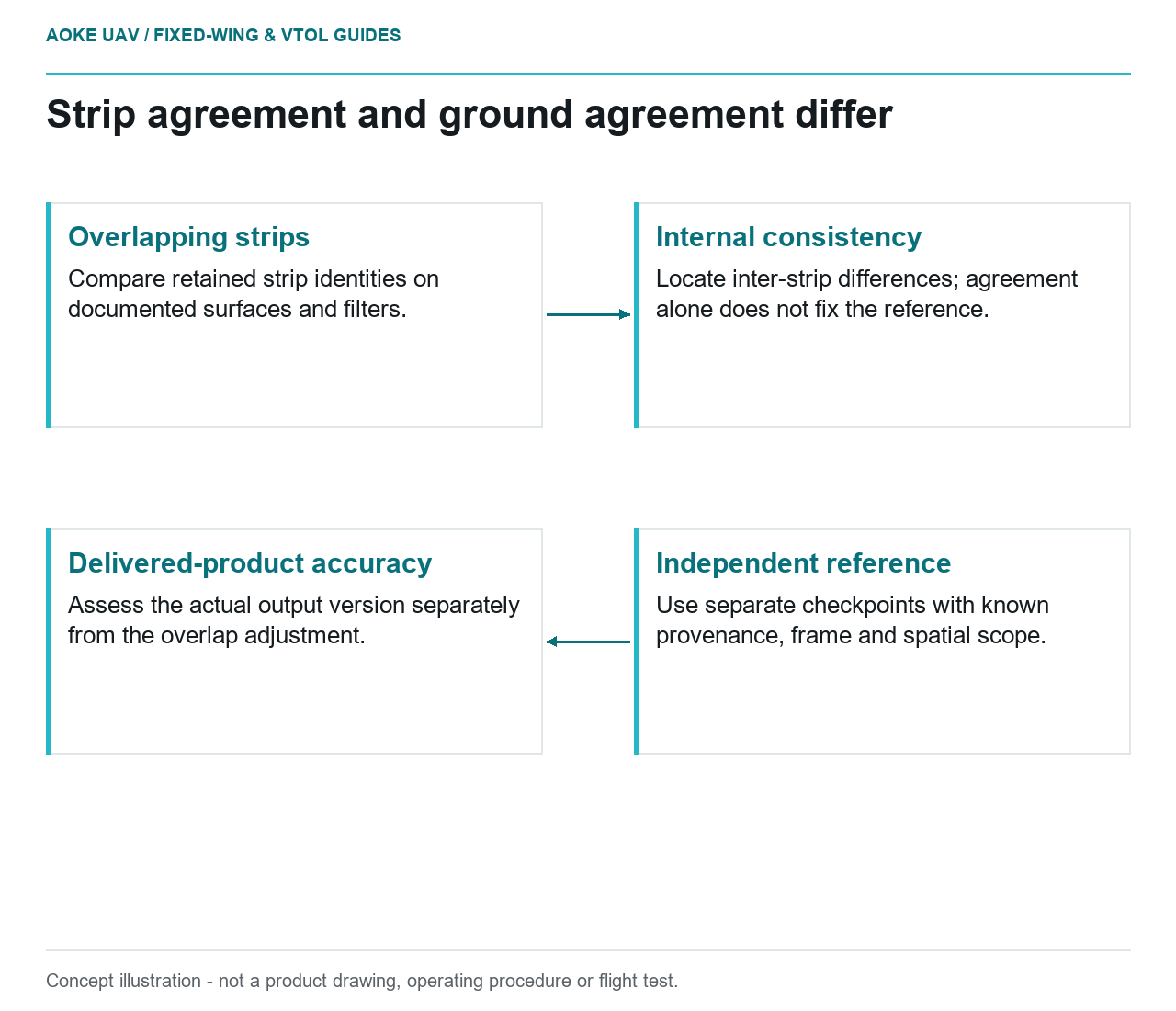
- Overlapping strips: Compare retained strip identities on documented surfaces and filters.
- Internal consistency: Locate inter-strip differences; agreement alone does not fix the reference.
- Independent reference: Use separate checkpoints with known provenance, frame and spatial scope.
- Delivered-product accuracy: Assess the actual output version separately from the overlap adjustment.