Concept illustration
Read diagram notes
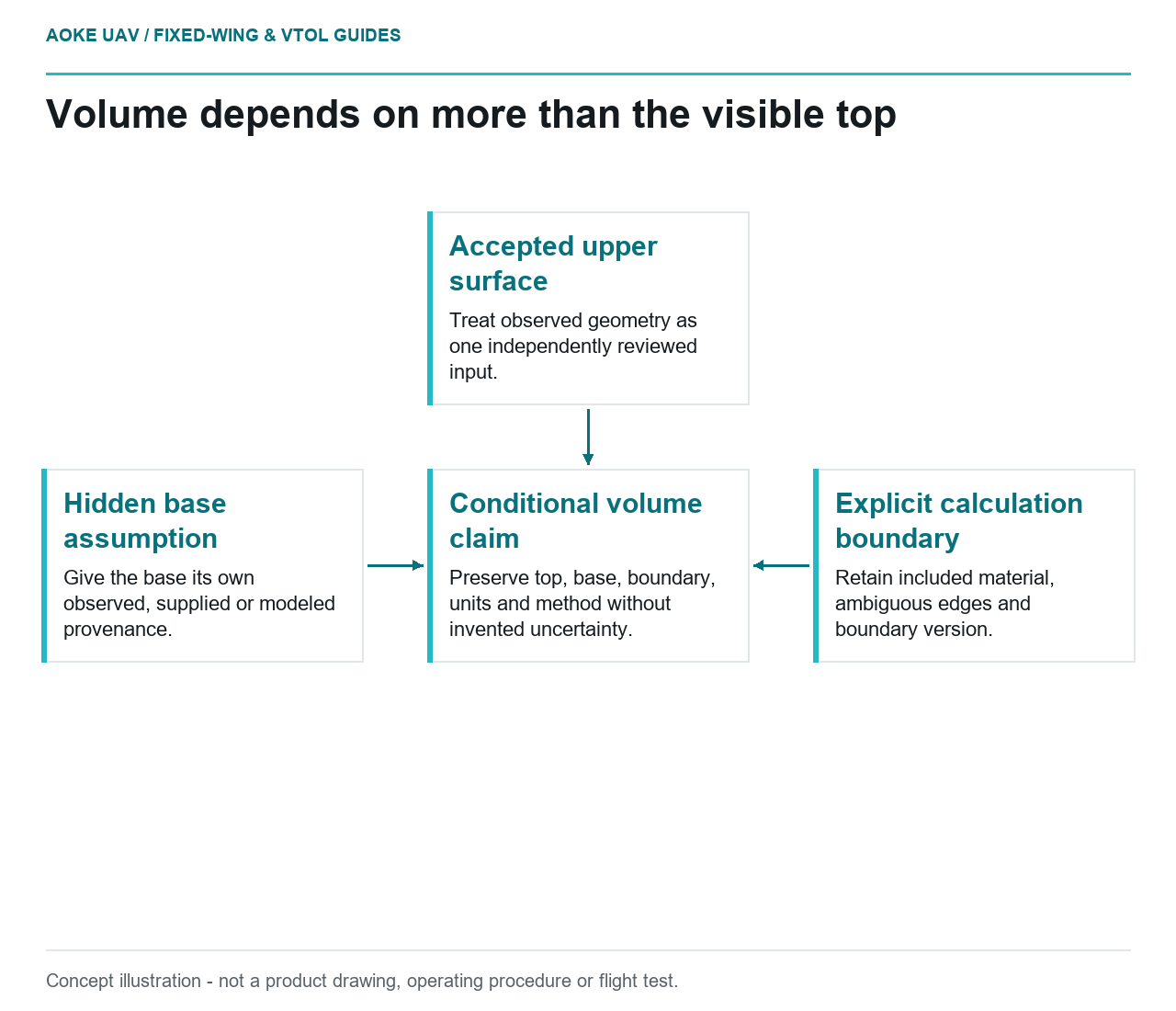
- Accepted upper surface: Treat observed geometry as one independently reviewed input.
- Hidden base assumption: Give the base its own observed, supplied or modeled provenance.
- Explicit calculation boundary: Retain included material, ambiguous edges and boundary version.
- Conditional volume claim: Preserve top, base, boundary, units and method without invented uncertainty.
A detailed stockpile model does not reveal the surface hidden beneath the material. In a hypothetical large fixed-wing civil survey, two reviewers accept the same upper-surface model yet disagree about the reported volume. Before seeking denser imagery, they need to compare the base surface, boundary and construction assumptions used in the calculation. This is a single-survey interpretation problem, not a claim about material movement between campaigns.
Visible surface versus hidden base
USGS imagery guidance describes geometric reconstruction from image observations, camera calibration, tie points and control. Its emphasis is on substantiating geometry from evidence. It does not define a stockpile-volume standard or establish the elevation of a hidden base. That limit matters when a reconstructed visible surface is used in a separate volume calculation. [6]
In the hypothetical fixed-wing workflow, the top surface would be identified as one input. The base would have its own provenance: perhaps an agreed earlier survey, an independently supplied design surface or an explicitly modeled assumption. These are possible project inputs, not claims that any one method is suitable without review.
The analyst would identify where the base is observed and where it is inferred. If the record contains no defensible base information, the volume remains conditional on the chosen assumption. A fine mesh cannot transform that assumption into a measured hidden surface.
Boundary definition and reference surface
The proposed review would preserve the boundary as an explicit project object, not only a screenshot. The reviewers would compare its location with the original observations and state what material or surrounding features it includes. Boundary and base revisions would have separate identifiers so a changed result can be traced to the input that changed.
For a large fixed-wing collection, the stockpile might occupy only a small part of the overall mapping block. A general statement that the site was covered would not establish that its critical edges were observed adequately. Occluded or ambiguous portions would remain marked for review instead of being silently completed by an operator.
The calculation record would also identify coordinate definitions, units and the relationship between the top and base surfaces. This is a proposed documentation requirement for the example. No acceptance threshold, contractual volume convention or approved base-building method is supplied by the available source.
Calibration and independent checks
USGS distinguishes GSD from demonstrated geometric accuracy and explains the importance of control quality, calibration and independent verification. That supports evaluating the upper-surface measurements on their own merits before they enter the volume workflow. It does not convert their positional checks into complete validation of a derived volume. [6]
The hypothetical reviewer would request evidence relevant to the actual surface and boundary, along with the quality of any reference used for checking. If an independent comparison is proposed, it would need a defined method and compatible assumptions. Agreement between two calculations sharing the same unverified base would not independently validate that base.
No numerical sensitivity or combined uncertainty is calculated here because the necessary inputs are absent. The useful review question is which assumptions could change the answer and which have been independently constrained. Inventing a percentage allowance would conceal that gap rather than resolve it.
Report assumptions and uncertainty
USGS recommends preserving calibration information, processing methods and their uncertainties in metadata. Applied to this example, that principle means retaining the top surface, base, boundary and calculation history together, while clearly distinguishing the additional volume method from the imagery-calibration guidance. [6]
The report would identify the specific input versions, excluded areas, unsupported base regions and any approved interpretation choices. Reported digits would follow the justified measurement and reporting method, not the maximum precision a software export can display. A result would remain conditional where its base or boundary lacks evidence.
The civil client would need to agree the applicable volume method and validation evidence before relying on the result. The defensible fixed-wing contribution is the geometry it can substantiate. The final volume claim requires an equally traceable account of what lies below that geometry and where the calculation ends.