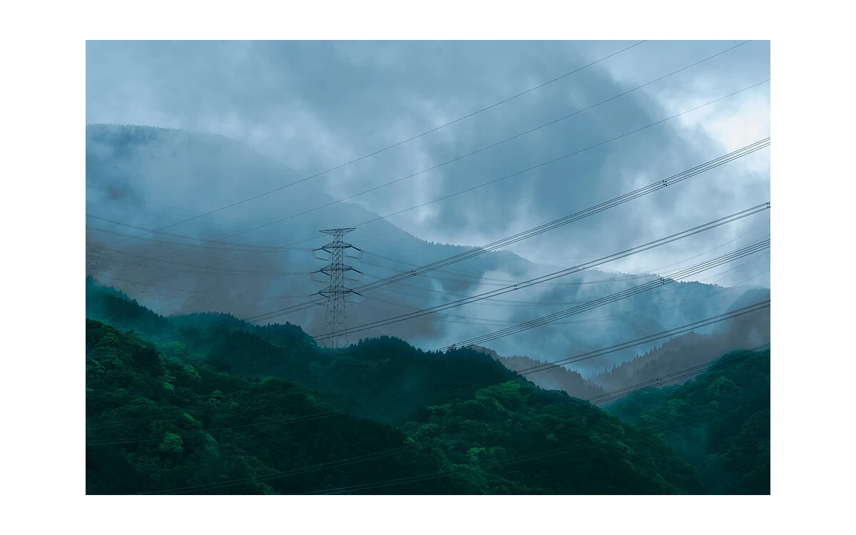
Corridor surface and vegetation context
Begin a power-line imagery brief by separating the corridor from its components. In this hypothetical civil monitoring project, a utility considers a large fixed-wing aircraft for documenting right-of-way surroundings, access conditions and visible vegetation patterns. The assignment is an overview evidence record. It does not include an unsupported promise to diagnose electrical components, determine compliant clearance or verify the condition of every attachment seen somewhere in the image.
For the proposed scope, ask the utility to identify the feature classes and views it wants reviewed. Record whether the question concerns a visible surface change, a mapped position or a particular component face. USGS guidance separates geometric accuracy from nominal ground sample distance and explains the value of calibration and metadata. [1] Consequently, a detailed-looking corridor image should not be offered as proof of an accurate clearance measurement or a complete component inspection.
Small-component visibility constraints
For this large fixed-wing scenario, test the actual view before accepting a component-level request. Ask whether the component is distinct in an original frame, whether its relevant surface faces the camera and whether other objects obscure it. Mark absent or ambiguous views as limitations. This is a proposed evidence-selection exercise, not a defect-detection method, and it contains no minimum observable damage size or universal camera standoff.
Keep the corridor record useful even where component evidence is unavailable. The proposed handoff would link each route section to its original images and identify what was directly observed. Do not let an image containing a tower stand in for evidence about every item on that tower. If the owner’s question requires a different geometry, the utility should select the follow-up method. A large fixed-wing aircraft is not assigned close structural hovering simply to preserve an overbroad scope.
Thermal and visual evidence differ
If thermal imagery is proposed, begin a separate measurement discussion. FLIR explains that detected infrared radiation includes the object’s emission and reflected surroundings, with atmospheric effects also influencing measurement. It identifies emissivity, reflected apparent temperature, distance and atmospheric parameters as inputs relevant to temperature interpretation. [2] Those are measurement considerations, not a utility diagnostic standard. A thermal display alone does not supply a verified cause or an asset-specific acceptance decision.
For this hypothetical review, request the original thermal data, the exact sensor documentation and the provenance of any measurement inputs. Keep those records separate from a colour-rendered illustration. Ask the utility specialist what additional asset and operating context would be needed before drawing a condition conclusion. This article provides no abnormal-temperature threshold and no rule for identifying a failing connection. Likewise, distant RGB appearance is not presented as direct evidence of electrical condition.
Weather belongs in the acquisition record without becoming an improvised permission to fly near energized infrastructure. WMO describes local terrain effects and mechanical turbulence as influenced by roughness, wind and stability. [3] That context supports asking whether the available weather information represents the planned route. It does not establish safe line separation, aircraft clearance or an electrical-work procedure. The actual operator and utility must resolve those questions under the applicable documentation and authority.
Asset-specific follow-up and authority
No utility-specific component diagnostic or clearance criteria have been established by the references used here. The proposed fixed-wing deliverable must therefore remain limited to demonstrated observations and evidence-selection questions. Write findings as location, visible appearance, image reference and uncertainty, then identify the utility reviewer responsible for interpretation. Do not translate a conspicuous object, vegetation patch or thermal contrast directly into a maintenance order without the owner’s qualified assessment.
The acceptance discussion should confirm what the overview can answer and which questions remain open. Retain calibration and uncertainty information where quantitative use is proposed, consistent with USGS guidance. [1] Preserve radiometric qualifications when thermal measurements are discussed, consistent with FLIR’s explanation. [2] This makes large fixed-wing corridor reconnaissance a bounded contribution to a utility workflow, not a substitute for specialist methods, legal authorisation, component-condition criteria or independently demonstrated performance.
Related reading
- Corridor Mapping With a Fixed-Wing Platform
- Thermal Spatial Sampling for Small Industrial Components
Sources
- [1] Guidelines for Calibration of Uncrewed Aircraft Systems Imagery
- [2] Thermographic measurement techniques
- [3] Aviation – Hazards – Turbulence and Wind Shear
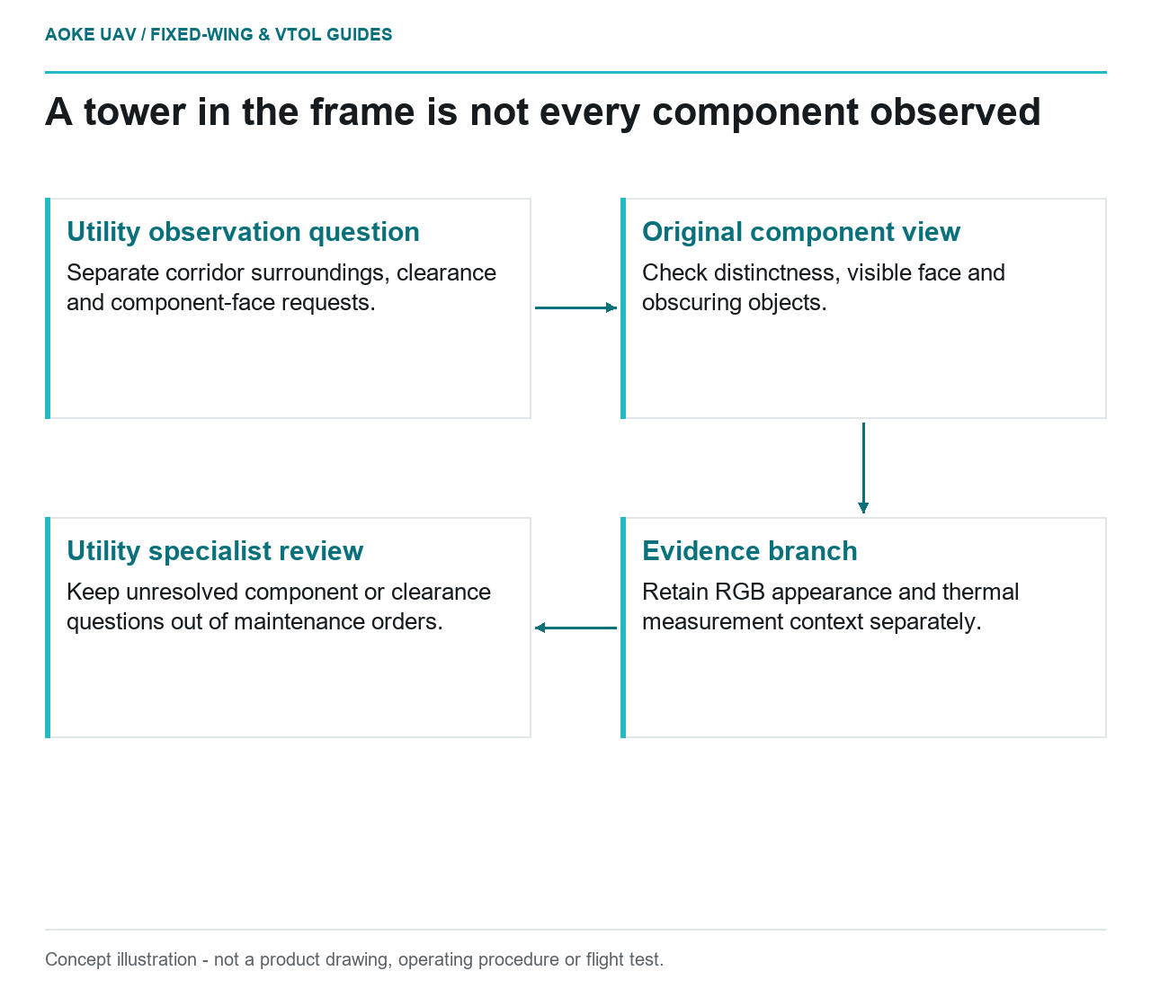
Visual summary
Concept illustration
Read diagram notes
- Utility observation question: Separate corridor surroundings, clearance and component-face requests.
- Original component view: Check distinctness, visible face and obscuring objects.
- Evidence branch: Retain RGB appearance and thermal measurement context separately.
- Utility specialist review: Keep unresolved component or clearance questions out of maintenance orders.