Concept illustration
Read diagram notes
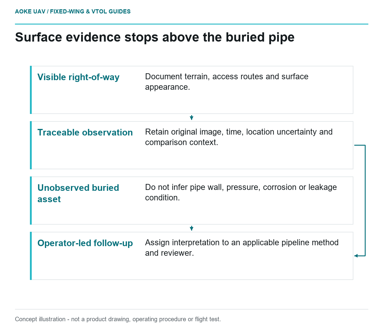
- Visible right-of-way: Document terrain, access routes and surface appearance.
- Traceable observation: Retain original image, time, location uncertainty and comparison context.
- Unobserved buried asset: Do not infer pipe wall, pressure, corrosion or leakage condition.
- Operator-led follow-up: Assign interpretation to an applicable pipeline method and reviewer.
Visible right-of-way context
An aerial surface record is not a view through the ground. In this hypothetical civil monitoring assignment, a large fixed-wing aircraft photographs a pipeline right-of-way to document visible terrain, access routes and surface appearance. The proposed product is a location-linked evidence record for the operator’s review. It is not a pipe-wall examination, a finding of buried-pipe integrity or a leak survey merely because the route follows a pipeline.
Define the permitted observation language before acquisition. In this proposed workflow, a reviewer may describe visible disturbed ground, a colour difference or a newly apparent object, while keeping its cause unresolved. A mapped observation also needs a defensible location. USGS distinguishes geometric accuracy from image ground sample distance and discusses calibration and uncertainty metadata. [1] Small pixels alone should not be offered as proof of accurate pipe alignment or a guaranteed position for a field investigation.
Surface anomalies and alternative explanations
For the hypothetical review, treat an unusual patch as a question with evidence, not an automatic diagnosis. Ask whether the appearance is new, whether acquisition conditions are comparable and whether the operator has relevant site information. Separate the directly observed description from suggested explanations. This article does not supply a catalogue of diagnostic surface signatures; the retrieved references do not establish a pipeline-specific method for attributing a visible anomaly to a leak.
If comparison imagery is used, preserve its acquisition and processing context. USGS explains why calibrated data and documented metadata support quantitative comparison and help users judge suitability. [1] In the proposed handoff, place originals alongside derivatives and state when differences in observation conditions remain unresolved. A conspicuous change should prompt qualified review under the operator’s process, not be promoted into an integrity conclusion because it looks persuasive in a presentation.
Buried assets remain unobserved
The scope boundary follows the evidence actually acquired. For this ordinary fixed-wing camera assignment, the proposed images depict visible surfaces, not the buried pipe itself. Do not infer wall thickness, corrosion state, pressure condition or absence of leakage from an apparently normal corridor image. Those questions require the operator’s applicable inspection or monitoring method. No pipeline integrity procedure or validated leak-sensor specification is established by the sources used in this article.
Adding a thermal camera does not remove that missing-method problem. FLIR explains that thermal measurement is influenced by emissivity, radiation reflected from the surroundings and atmospheric effects, with distance and other parameters relevant to interpretation. [2] This is radiometric context, not evidence that a generic thermal camera detects a particular pipeline leak. Neither a warm-looking patch nor the lack of one is given a diagnostic meaning here.
For a hypothetical thermal extension, require the exact sensor’s documented capability and an operator-approved method before making a leak claim. Keep surface-temperature interpretation separate from target-material identification and from an engineering judgement about pipe condition. The FLIR reference explains measurement considerations; it supplies no pipeline leak threshold, sensitivity guarantee or certification of a large fixed-wing integration. [2] Where those capabilities are unverified, retain the observation-only scope rather than filling the gap with a plausible narrative.
Record findings for qualified review
Build the proposed findings register around evidence provenance: corridor section, original image, capture time, visible description, location uncertainty, comparison reference and unresolved question. Identify the operator’s responsible reviewer and keep the interpretation status separate from the observation. Do not describe this register as satisfying a mandatory patrol or inspection obligation; no jurisdiction-specific legal determination is made here. It is an original handoff design for an explicitly limited imagery assignment.
The useful large fixed-wing role is broad surface documentation that helps an operator organise questions and choose follow-up, not close examination of hidden infrastructure. Where a specific concern requires another sensor or inspection technique, the operator should determine that method through its qualified process. Keep calibration qualifications with the imagery and radiometric qualifications with any thermal measurements. [1] [2] A clear account of what remains unobserved is more defensible than an unsupported assurance of pipeline health.