Concept illustration
Read diagram notes
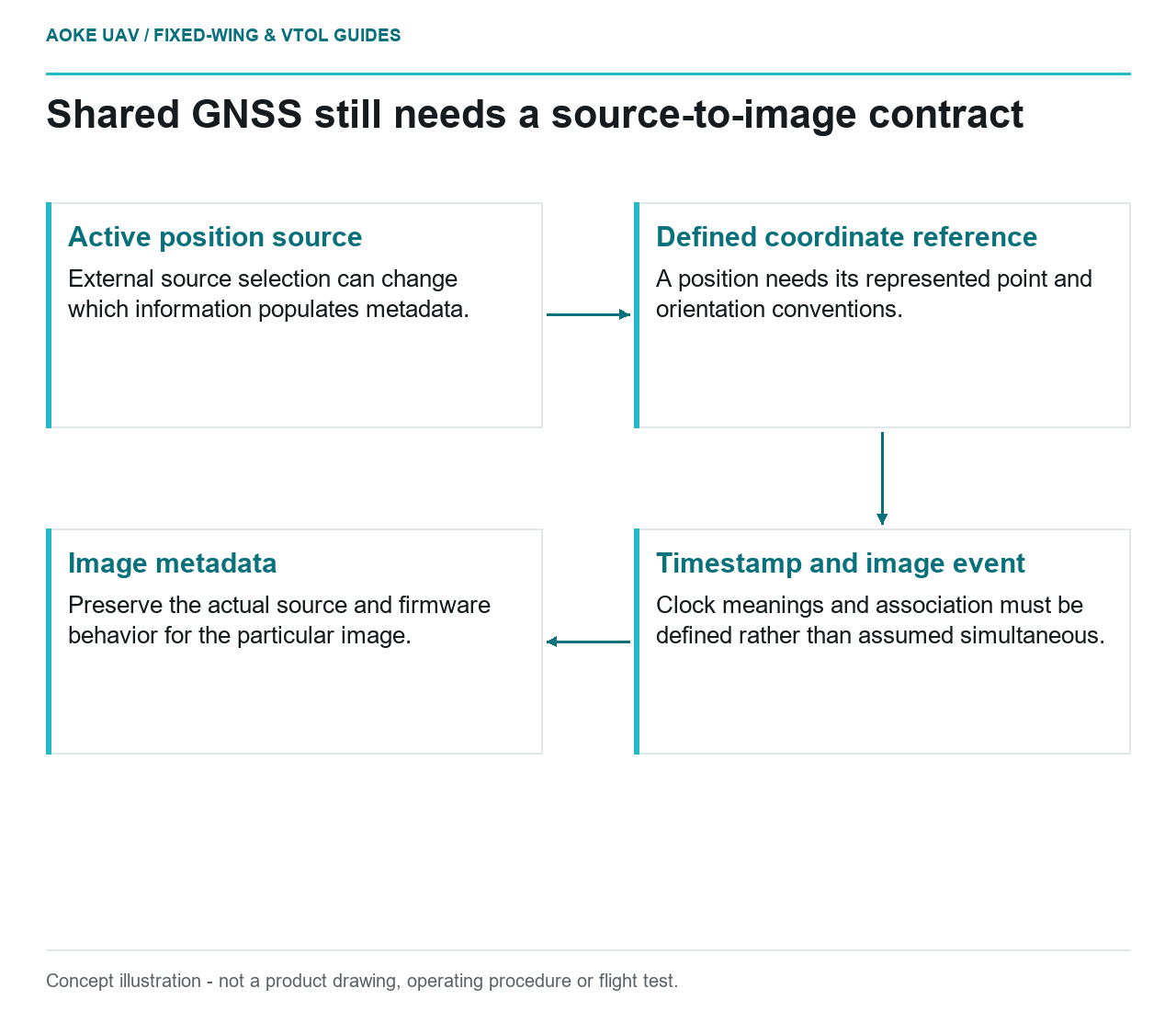
- Active position source: External source selection can change which information populates metadata.
- Defined coordinate reference: A position needs its represented point and orientation conventions.
- Timestamp and image event: Clock meanings and association must be defined rather than assumed simultaneous.
- Image metadata: Preserve the actual source and firmware behavior for the particular image.
A hypothetical large fixed-wing mapping aircraft sends navigation information to its survey camera. The project description says both systems use the same GNSS and treats that as a complete positioning solution. The integration review should ask a narrower set of questions: which source is active, what point its coordinates describe, what time is attached and which image receives the information. This article focuses on the electronic interface contract, not a mechanical lever-arm measurement procedure or a survey accuracy guarantee.
Position source and reference point
Identify the navigation source and the camera input that accepts its information. Request the primary definitions for the reported position, relevant reference point and any transformation applied before storage. A source label such as aircraft GPS does not define those relationships. The evidence should show whether the camera records an originating message, an interpreted value or a value changed by another device in the path.
The December 2021 RedEdge-P and DLS 2 guide describes providing position and attitude from an aircraft source through camera APIs in place of the DLS GPS source, with substitution reflected in image metadata.[1] That is a documented camera capability, not evidence that a particular aircraft supplies the intended position definition. It also does not establish that the camera and antenna reference points are coincident.
Time basis and event association
For the fixed-wing example, request definitions for the navigation timestamp, camera timestamp and event used to associate the two. Ask which clocks and message meanings the exact firmware uses. This article does not prescribe an update interval or synchronization tolerance. The interface needs an applicable documented basis before a shared field name can be treated as evidence that two events occurred at the same time.
Keep the source-selection behavior visible when reviewing metadata. The camera guide describes how external GPS messages can supersede its internal-source information under specified behavior.[1] Do not generalize that behavior across camera models or firmware. For the hypothetical installation, ask how the record identifies the source actually used for each image and what the applicable documentation says about absent or interrupted external updates.
Antenna and camera geometry
The interface contract should name the physical point represented by each position field and the convention used for any related orientation information. Hand those definitions to the team maintaining the installed geometry record. This separates the electrical and data-interface question from the actual measurement of offsets. A correctly connected protocol still needs an unambiguous meaning for its coordinates.
For a large fixed-wing aircraft with separated equipment locations, request the applicable geometry and calibration evidence rather than assuming that shared GNSS eliminates those requirements. No offset value or transformation formula is established here. If the payload guide does not define a needed reference convention, identify the missing source instead of borrowing an unrelated navigation manual and claiming that the convention is universal.
Protocol and configuration revisions
A useful interface sheet lists the source device, message definition, coordinate reference, timestamp meaning, active-source behavior and camera metadata destination. Associate it with actual firmware and integration-document revisions. Keep an example evidence record that can be traced to the relevant configuration, while distinguishing observed behavior from a general capability described in an OEM manual. That allows later review without guessing how metadata was populated.
The outcome for this hypothetical civil fixed-wing project is an auditable data contract and a precise list of unresolved source, reference and timing questions. It is not a claim of survey accuracy or permission to omit calibration. Shared GNSS can be a documented interface feature, but the engineering argument still has to connect that feature to the meanings and records required by the actual mapping workflow.
Related reading
- Lever Arms in Fixed-Wing Payload Integration
- Reviewing GNSS Solution Quality for Survey Trajectories