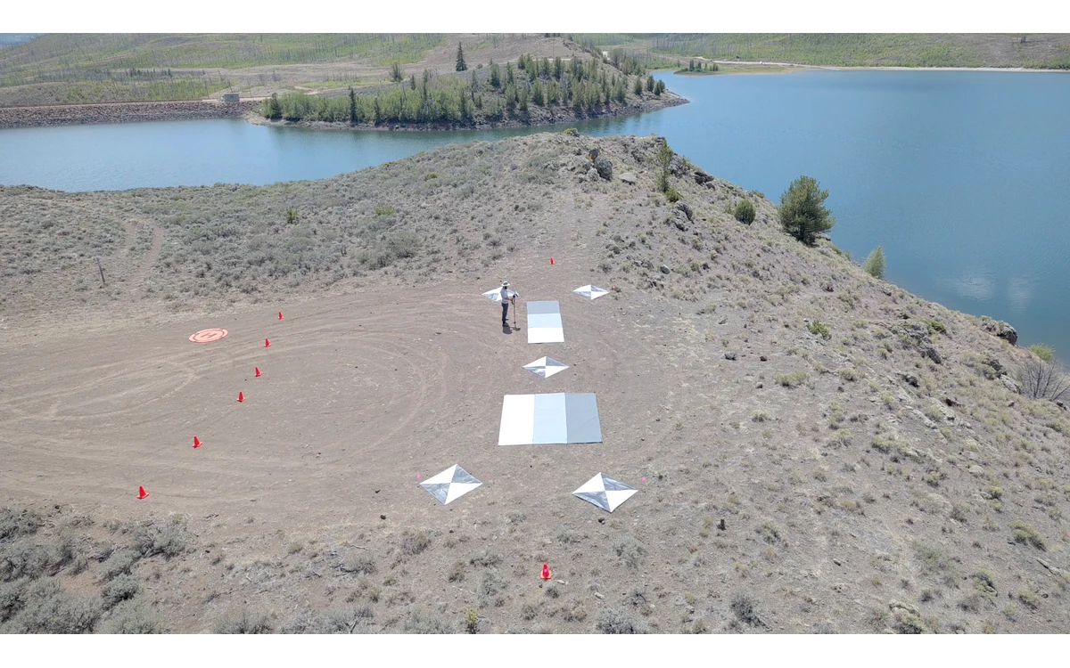
A seasonal map series needs a continuity record, not just matching filenames. Imagine a hypothetical large fixed-wing program monitoring a civil land-restoration area over successive seasons. A camera is serviced, the processing software changes and field conditions evolve between campaigns. The analysis question is which differences belong to the land and which remain entangled with changes in measurement. This example proposes a comparison review, not an observed monitoring result.
Keep sensor and calibration continuity visible
USGS distinguishes raw sensor digital numbers from physical radiometric quantities and discusses calibration as the basis for useful comparison across times and instruments. It recommends retaining calibration information and uncertainties in metadata. Consequently, two uncalibrated image arrays should not be described as stable reflectance observations merely because they share a band label. [1]
For the hypothetical fixed-wing program, create a campaign record with camera identity, lens configuration, firmware, calibration references, image mode and processing revision. Preserve original images so an earlier campaign can be reexamined rather than represented only by its final mosaic. Identify whether an instrument was replaced and what evidence supports continuity after the replacement.
The archived RedEdge-MX integration guide even lists different band specifications for different serial-number groups within that product family. This is a concrete reason to check exact sensor identity instead of assuming a familiar model name guarantees identical spectral specifications. The example does not prescribe those bands or that camera for the civil project. [2]
Retain illumination and view geometry
USGS explains that reflectance can vary with solar and viewing angles and identifies constant illumination as a limitation of empirical-line assumptions. These effects belong in a seasonal comparison review even when both campaigns were successfully processed. A common pixel size is not evidence that their radiometric observation conditions were equivalent. [1]
In this example, retain acquisition times, strip layouts and available illumination metadata for each fixed-wing mission. Record departures from the comparison plan, such as a different acquisition period or a changed sensor installation. Do not hide those departures by forcing all images into a visually uniform color scale. Have the analysis team explain which differences its method can accommodate and which remain uncertain.
Record ground condition and reference observations
For the hypothetical restoration area, propose field notes that separate observed site conditions from image-derived interpretation. Record where and when reference observations were made, what was directly observed and how those locations connect to the airborne dataset. Possible questions include whether the same surface was exposed, whether management activity occurred and whether the comparison region was defined consistently. These are investigation prompts, not claims about a real site.
Keep panel identity and calibration observations linked to each campaign rather than treating a reference photograph from the first season as a permanent property of the monitoring program. USGS discusses target characterization and its changes with exposure or degradation, supporting the need to retain the actual reference history. [1]
Define a defensible comparison scope
The proposed review would classify each requested comparison by the evidence available. Ask whether sensor continuity, calibration, geometry and field context support quantitative interpretation for that region and period. If one component is unresolved, document its effect on the intended conclusion. Avoid interpreting a convenient image index or attractive difference map as a diagnosis without appropriate validation for that use.
Where software has changed, preserve its settings and explain whether both campaigns were processed consistently or with an established cross-version relationship. Keep the comparison boundary and exclusions explicit so a later reviewer can reconstruct which pixels contributed to the analysis.
The large fixed-wing platform supplies repeated spatial coverage; continuity of measurement must still be demonstrated. A useful civil handover separates observed image differences, supported seasonal interpretation and unresolved acquisition differences. It can recommend further evidence without claiming that every seasonal signal is either genuine change or calibration error. The result is a bounded comparison whose limitations remain attached to the dataset.
Related reading
- Sun Angle and Surface Reflectance Comparisons
- Vegetation Monitoring Along Civil Infrastructure Corridors
Sources
- [1] Guidelines for Calibration of Uncrewed Aircraft Systems Imagery
- [2] MicaSense RedEdge-MX and DLS 2 Integration Guide
Visual summary
Concept illustration
Read diagram notes
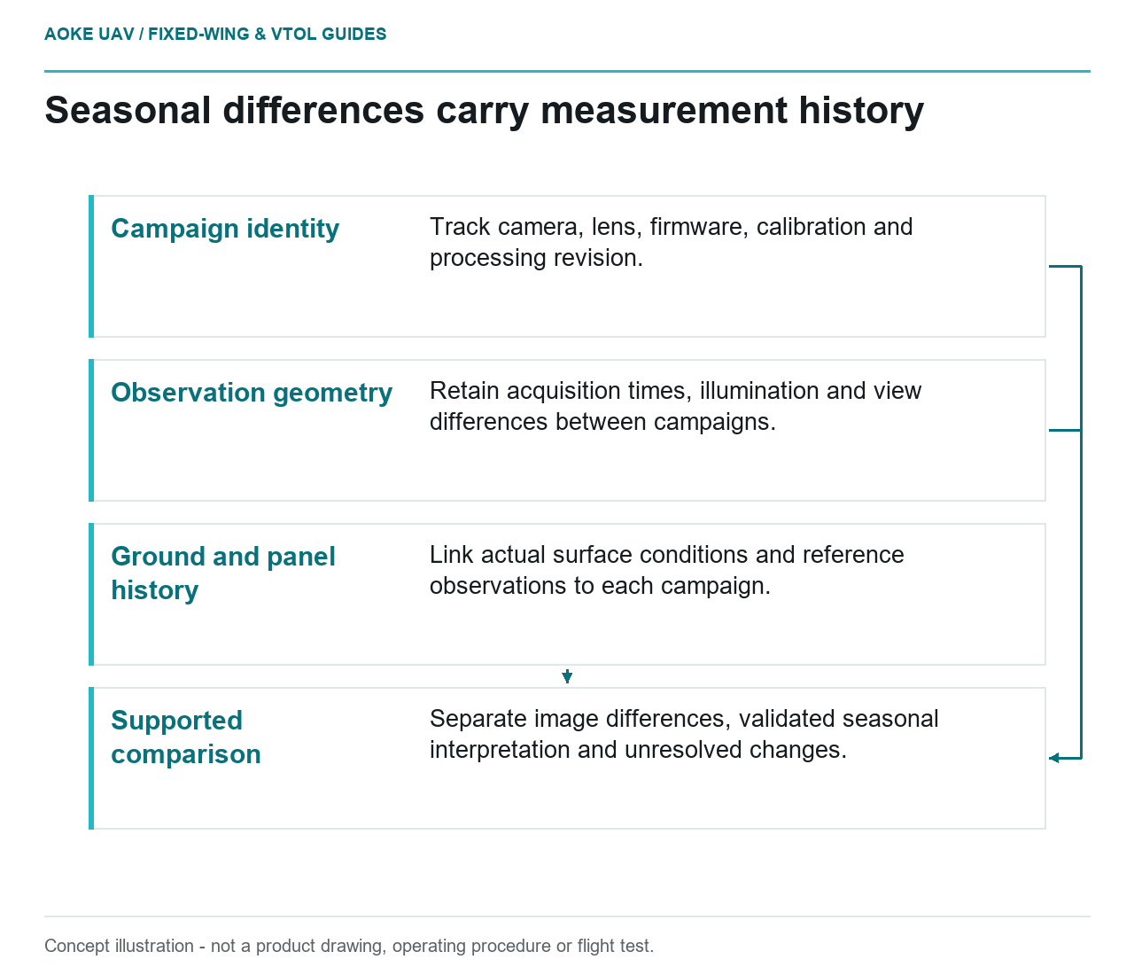
- Campaign identity: Track camera, lens, firmware, calibration and processing revision.
- Observation geometry: Retain acquisition times, illumination and view differences between campaigns.
- Ground and panel history: Link actual surface conditions and reference observations to each campaign.
- Supported comparison: Separate image differences, validated seasonal interpretation and unresolved changes.