Concept illustration
Read diagram notes
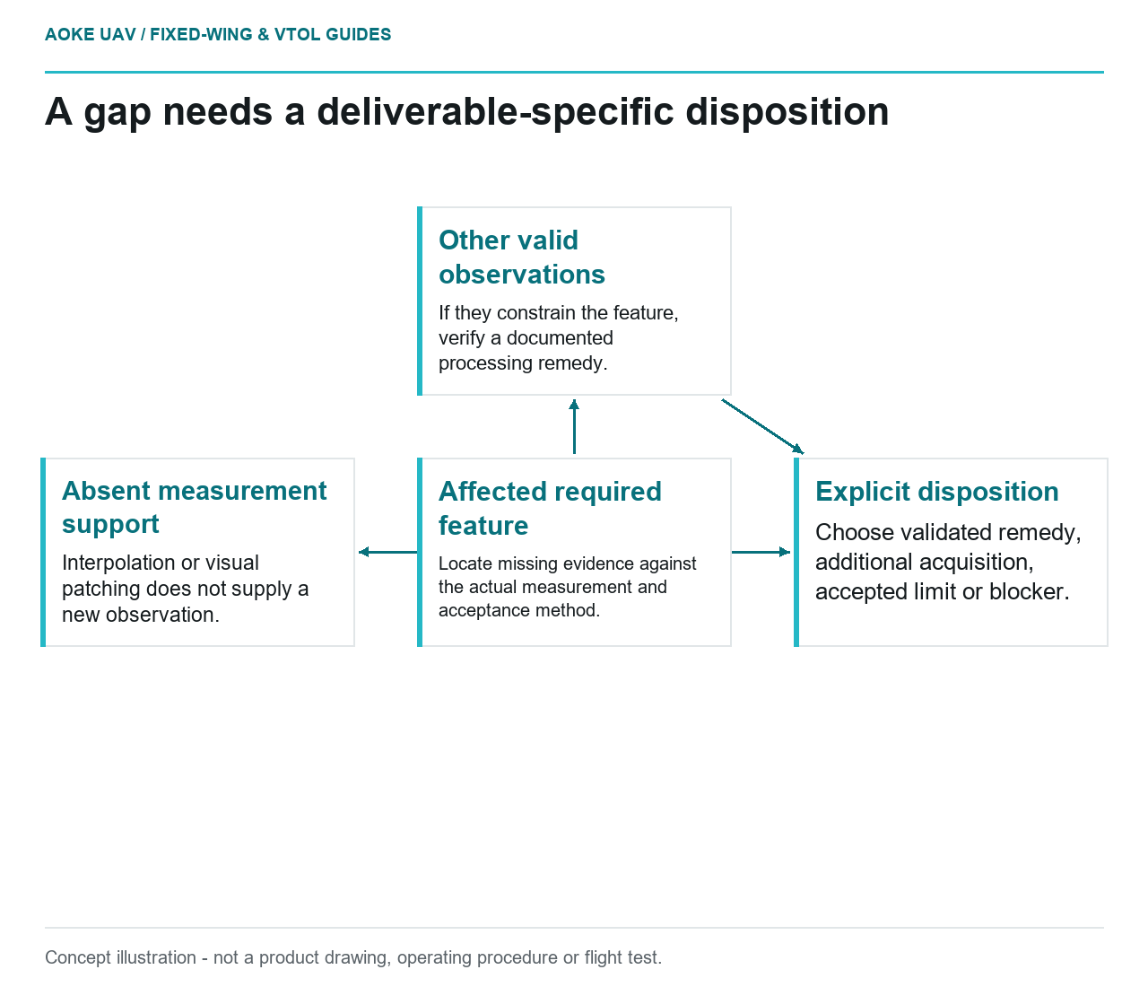
- Affected required feature: Locate missing evidence against the actual measurement and acceptance method.
- Other valid observations: If they constrain the feature, verify a documented processing remedy.
- Absent measurement support: Interpolation or visual patching does not supply a new observation.
- Explicit disposition: Choose validated remedy, additional acquisition, accepted limit or blocker.
Not every gap has the same consequence, and not every complete-looking product is adequately supported. In a hypothetical large fixed-wing civil survey, the acquisition review has already identified missing or unsuitable observations. The next task is to decide which gaps require additional evidence, which can be addressed legitimately in processing and which belong in an agreed exclusion.
Compare gaps with required deliverables
USGS imagery guidance treats acquisition planning, calibration and quality verification as interrelated. Its QA discussion starts with acquisition areas, control requirements, flight configuration and calibration, while QC asks whether the produced data meet the project requirements. A gap decision therefore needs the intended output and acceptance method, not just the missing-file count. [6]
For the hypothetical fixed-wing project, each known gap would be located relative to the required feature or surface. The issue record would name the affected deliverable and the missing evidence. A missing contextual image outside the agreed area would be considered differently from absent observations at a measurement-critical boundary.
This article offers no universal percentage of acceptable missing coverage. The client and producer would use the actual project requirements and responsible review authority. If those requirements are ambiguous, clarifying them is part of the decision, not a reason to invent a convenient threshold after collection.
Distinguish geometry from illumination failures
USGS separates geometric and radiometric calibration and explains the need for physically meaningful radiometric quantities. A dataset can therefore need different remedial evidence depending on whether the intended claim concerns shape, position or reflectance. The existence of an attractive mosaic does not collapse those questions into one quality score. [6]
The example review would distinguish absent views, unusable geometry, unsuitable radiometry and uncertainties in the supporting reference. Original images and calibration records would inform that classification. The issue would remain unresolved if the available record cannot support a confident diagnosis; this decision process does not manufacture the missing cause.
Where a known capture gap is involved, the RedEdge-MX guide illustrates why capture-mode and storage behavior may matter: timer demand beyond write capability can produce inconsistent intervals. That model-specific warning can motivate investigation before another collection, but it does not prove the cause in the hypothetical system. [20]
Check whether processing can legitimately help
The proposed processing review would ask whether other valid observations already constrain the affected feature. If they do, the team would document the method and verify the revised product. If they do not, interpolation or visual patching would remain a construction choice rather than a newly observed measurement.
A change that makes the display continuous would not necessarily close the acceptance issue. The analyst would state whether the remedial operation addresses geometry, appearance or only file completeness. Any added external data would have its own provenance and compatibility review before being presented as part of the civil survey.
USGS emphasizes stable tie points, calibration context and independent checking rather than relying on GSD as an accuracy guarantee. [6] Those principles argue for validating the claimed improvement in the actual output, not assuming a successful processing run has supplied missing evidence.
Document reacquisition scope and limits
For the hypothetical large fixed-wing project, a justified additional-collection scope would identify the feature to recover, supporting connection areas and the records needed to verify success. The aircraft team would separately assess operational feasibility under the applicable documentation. No route, maneuver or legal assurance is prescribed here.
The scope would also explain how the new data will join the existing dataset, what configuration and reference information must remain traceable and how changes in scene conditions will be handled. Collection would not be called successful until the resulting evidence supports the affected deliverable.
The final issue disposition would be explicit: validated processing remedy, additional acquisition, accepted limitation or unresolved blocker. It would name the responsible decision and preserve the original finding. That gives the civil client an accountable coverage decision without confusing a gap diagnosis with an unsupported promise that another sortie will solve it.