Concept illustration
Read diagram notes
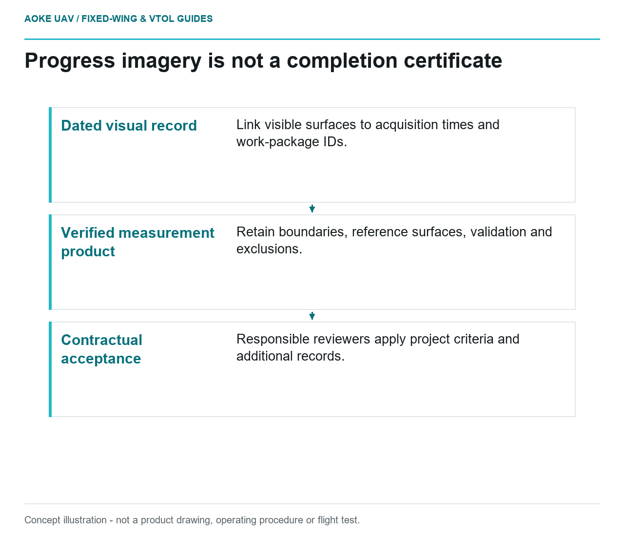
- Dated visual record: Link visible surfaces to acquisition times and work-package IDs.
- Verified measurement product: Retain boundaries, reference surfaces, validation and exclusions.
- Contractual acceptance: Responsible reviewers apply project criteria and additional records.
Agree what the progress record is meant to prove
Imagine a hypothetical road-building project with an earthworks area, a new drainage run and a materials yard. A large industrial fixed-wing aircraft produces a dated overview for the weekly coordination meeting. The manager sees a continuous-looking surface and asks whether a subcontractor’s work is complete. This example concerns evidence boundaries, not an GAUTEN service, a measured project outcome or an actual payment decision.
Split the request into a visual record, a measurement product and a contractual decision. The visual record can show the appearance of accessible surfaces at acquisition. A measurement product needs defined geometry and validation. A completion decision needs the project’s acceptance criteria and authorized review. Keep those distinctions in the brief so a convenient presentation does not become an unintended certificate.
Preserve time and work-package identity
For the illustrative fixed-wing overview, propose image groups linked to acquisition time and the owner’s work-package identifiers. Label areas acquired on different occasions rather than presenting the entire site as a single instant. Ask the owner which construction changes occurred between image groups, but do not invent a work diary when none is supplied. Unknown timing relationships should remain unresolved.
USGS imagery guidance identifies measurement time, sensors, projection and processing schemes among useful metadata and describes calibration documentation as a basis for assessing data usability. This supports the evidence record behind a site map, not contractual certification of construction work. [1]
Keep a photographed surface distinct from an inferred work status. In this example, a covered drainage alignment could look continuous while the evidence package says nothing about concealed connections or material acceptance. A reviewer should be able to mark the visible surface as observed and the underlying work as outside the aerial observation scope without creating a contradictory report.
Require measurement evidence for quantity claims
USGS explains that geometric accuracy depends on control, tie points and calibration rather than image ground sample distance alone. It also describes independent check observations and the role of their accuracy in validation. A sharp fixed-wing orthomosaic therefore does not, by itself, substantiate a claimed earthworks quantity. [1]
Before calculating a quantity in the scenario, ask which boundary, reference surface and coordinate system define it. Determine whether the deliverable describes a plan area, a surface elevation or a difference between two surveyed surfaces. Those are separate measurement questions. Require the survey team to identify hidden areas and the assumptions used where a surface could not be observed.
Retain the input models and any excluded regions beside the calculation. If a project representative changes a work-package boundary, preserve the earlier boundary and document the revision rather than silently altering the previous week’s result. A reproducible quantity record needs a stable account of what was included, not merely a final number copied into a meeting slide.
Keep acceptance decisions outside the image label
For the hypothetical drainage run, an annotation might identify a newly visible surface and reference the corresponding frames. The next field asks whether the responsible construction reviewer has confirmed the work-package status against the required records. Leave that field pending if no review has occurred. Do not replace it with a confident label generated from appearance.
The fixed-wing handover can include an observation register, a separate measurement schedule and a list of missing acceptance evidence. Give disputed items a named decision owner where the client provides one. This organization preserves the useful overview while making clear which conclusions require additional measurement, testing or documentation.
A practical closeout statement should identify what the aerial record contributes and what it does not address. In this scenario, it supplies dated surface context for coordination; it does not certify installed quantities, concealed work or contractual completion. That narrower statement is still actionable because it directs the manager toward the exact evidence needed for the decision rather than promising that every visible change equals verified progress.