Concept illustration
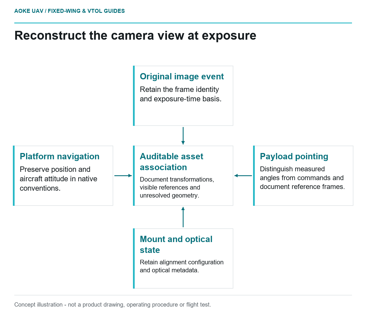
Read diagram notes
- Original image event: Retain the frame identity and exposure-time basis.
- Platform navigation: Preserve position and aircraft attitude in native conventions.
- Payload pointing: Distinguish measured angles from commands and document reference frames.
- Mount and optical state: Retain alignment configuration and optical metadata.
- Auditable asset association: Document transformations, visible references and unresolved geometry.
Aircraft attitude is not the whole camera record
A hypothetical civil corridor mission uses a large industrial fixed-wing aircraft with a pointed camera. While the aircraft follows the route, the camera is assigned views of service buildings beside it. The delivery contains aircraft attitude but omits the payload’s pointing record. The reviewer needs to establish what information is missing before using those images for geometric asset association. This is an illustrative metadata problem, not an GAUTEN installation or a measured performance claim.
Keep platform navigation and payload pointing in distinct fields. Request the actual integration documentation rather than assuming the camera looks along the aircraft’s body axis. An image can remain useful for visual review while its geometric association is unresolved. State that difference in the deliverable instead of inferring precise viewing direction from the presence of an aircraft attitude log.
Define each frame and angle convention
USGS defines exterior orientation as the position and orientation of the sensor at photography and describes camera orientation within the photogrammetric model. It separately discusses interior camera parameters such as focal length and distortion. This provides the geometric context for requesting a sensor pose; it does not define the conventions of a particular gimbal or autopilot. [1]
For this fixed-wing example, ask which reference frame each recorded angle uses, what axis order and sign convention apply, and whether the value is commanded or measured. Preserve the native field names and units. A field called yaw should not be relabeled heading until the payload documentation supports that interpretation. Keep undocumented fields available for investigation without assigning them invented meanings.
Request the relationship between the payload mount and the aircraft reference frame, including the configuration version. If the mount was removed, repositioned or adjusted, record the event and ask which alignment evidence remains applicable. This article does not prescribe an alignment procedure or a tolerance: those depend on the actual aircraft, payload and measurement method.
Associate pointing with the exposure event
For each proposed asset observation, identify the original image and the record used to represent its exposure time. Ask how the payload clock, navigation clock and image event are related. Preserve known offsets or unknown timing relationships explicitly rather than joining records by the nearest displayed second and calling the result synchronized. The suitability of any association needs project evidence.
USGS’s metadata discussion includes measurement time, viewing geometry, sensor configuration and processing schemes, and recommends retaining calibration information for data-quality assessment. These categories support the requested record, without establishing a particular gimbal timing specification or a guaranteed geolocation accuracy. [1]
In the scenario, separate a planned pointing command from evidence of the camera’s view at exposure. If the system supplies only commands, label the limitation and inspect the original frames for the intended asset. A frame that visibly includes the building can support a reviewed identity association; it does not automatically validate every numerical angle in the log.
Make the association method auditable
Propose a compact image-level record linking the frame identifier, exposure basis, platform navigation, payload pointing, optical state and mount configuration. Include the documentation used to interpret each field and the method that associates the image with the asset. Preserve raw records beside converted values so another reviewer can reproduce or challenge the transformation.
For the hypothetical building, verify the proposed association against independent visible references appropriate to the method. Record ambiguous outcomes rather than selecting the nearest asset automatically. If a surface intersection is used, identify the surface model and its reference system; if a human reviewer makes the association, record that decision honestly instead of presenting it as an automated geometric solution.
The useful fixed-wing result may be a visually confirmed building image with limited coordinate quality, or a geometry-supported observation with documented uncertainty. Both are more informative than an unexplained precise point. Retaining the frame, timing and alignment evidence lets the owner distinguish those cases and decide whether additional data are needed for the intended civil inspection task.
Related reading
- Boresight Alignment and Fixed-Wing Sensor Mounts
- Payload Power Transients and Survey Sensor Integration