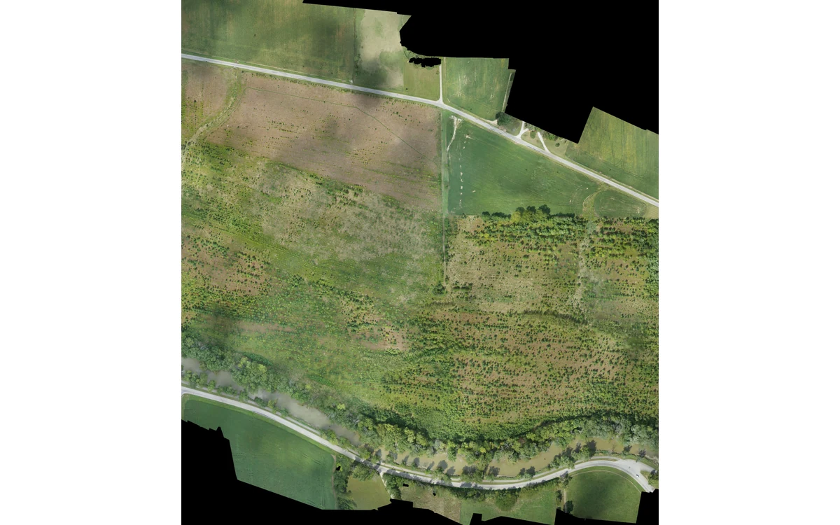
A shared project name does not make several acquisitions one consistent measurement. In a hypothetical large fixed-wing civil mapping project, the site is collected over multiple sorties with a camera service action between them. The integration task is to establish which properties remain common, which changed and whether the joined deliverable is supported across acquisition boundaries.
Reference system and calibration identity
USGS imagery guidance recommends preserving equipment identities, settings, geometric and radiometric calibration parameters, and documented processing methods. Its calibration discussion also connects the solution with the actual acquisition geometry. Those records provide a basis for comparing sorties without assuming that an unchanged camera label implies an unchanged measurement configuration. [6]
For the hypothetical fixed-wing project, each sortie would have an acquisition identifier linked to camera and accessory configuration. A service or remounting event would be recorded explicitly. The processor would decide, using applicable evidence, whether the datasets can share calibration assumptions or require separate treatment. No repeatability or calibration result is asserted here.
The project reference definition would include horizontal and vertical meaning, units and any documented transformation steps. The analyst would check that imported inputs and final products use the intended definitions. A matching coordinate-system name in a folder title would not replace inspection of the actual data and processing record.
Illumination and acquisition changes
USGS discusses the dependence of reflectance on illumination and viewing geometry and the need for radiometric calibration when comparing data. Its field guidance recommends retaining flight descriptions, image times, weather and calibration-panel information. These are reasons to retain sortie-level context rather than blending it into one generalized acquisition statement. [6]
The RedEdge-MX/DLS 2 guide gives a model-specific example of recording ambient-light and sun-angle information in image metadata. That capability can support an identified processing workflow, but it is not evidence that all changes between sorties have been removed. The installation and actual metadata still require review. [20]
In this example, the analyst would separate a visual color-balancing operation from a calibrated reflectance comparison. If the product is intended for quantitative cross-sortie analysis, the report would state which correction and validation evidence support that use. Cosmetic matching alone would not establish equivalence.
Overlap between acquisition blocks
The proposed join review would identify the observations connecting adjacent blocks and the physical features used in their comparison. It would ask whether those features are stable and sufficiently distributed for the chosen method. USGS emphasizes stable, well-distributed tie points and their role in calibration; a narrow convenient join sample cannot be assumed representative of every boundary. [6]
The large fixed-wing acquisition plan would therefore identify required connection areas before collection. If a boundary has little suitable common evidence, that would be a planning or limitation issue rather than something to conceal after mosaicking. This article prescribes no universal overlap percentage or corrective flight pattern.
Any actual scene change between sorties would be kept distinct from processing disagreement. The reviewer would not force two genuinely different observations into artificial agreement merely to make the combined map appear continuous.
Quality checks at block boundaries
The hypothetical final review would compare boundary areas with the same stated measurement objective used elsewhere in the project. It would retain spatially located discrepancies, source-image links and the processing versions involved. Independent checks would be considered where the product requires positional or radiometric evidence beyond visual agreement.
USGS distinguishes GSD from demonstrated geometric accuracy. Fine pixels on both sides of a join therefore do not certify their agreement or the accuracy of the combined block. [6] The acceptance report would state which boundaries were checked and where evidence remains weak.
A useful handover preserves both the combined product and its sortie history. The client can then judge consistency from traceable observations and checks rather than from a seamless display. Combining files is straightforward; substantiating a single civil measurement dataset requires an explicit record of what changed.
Related reading
- Changing Cloud Cover and Radiometric Consistency
- Mission Energy Budgets Without Endurance Guarantees
Sources
- [6] Guidelines for Calibration of Uncrewed Aircraft Systems Imagery
- [20] MicaSense RedEdge-MX and DLS 2 Integration Guide
Visual summary
Concept illustration
Read diagram notes
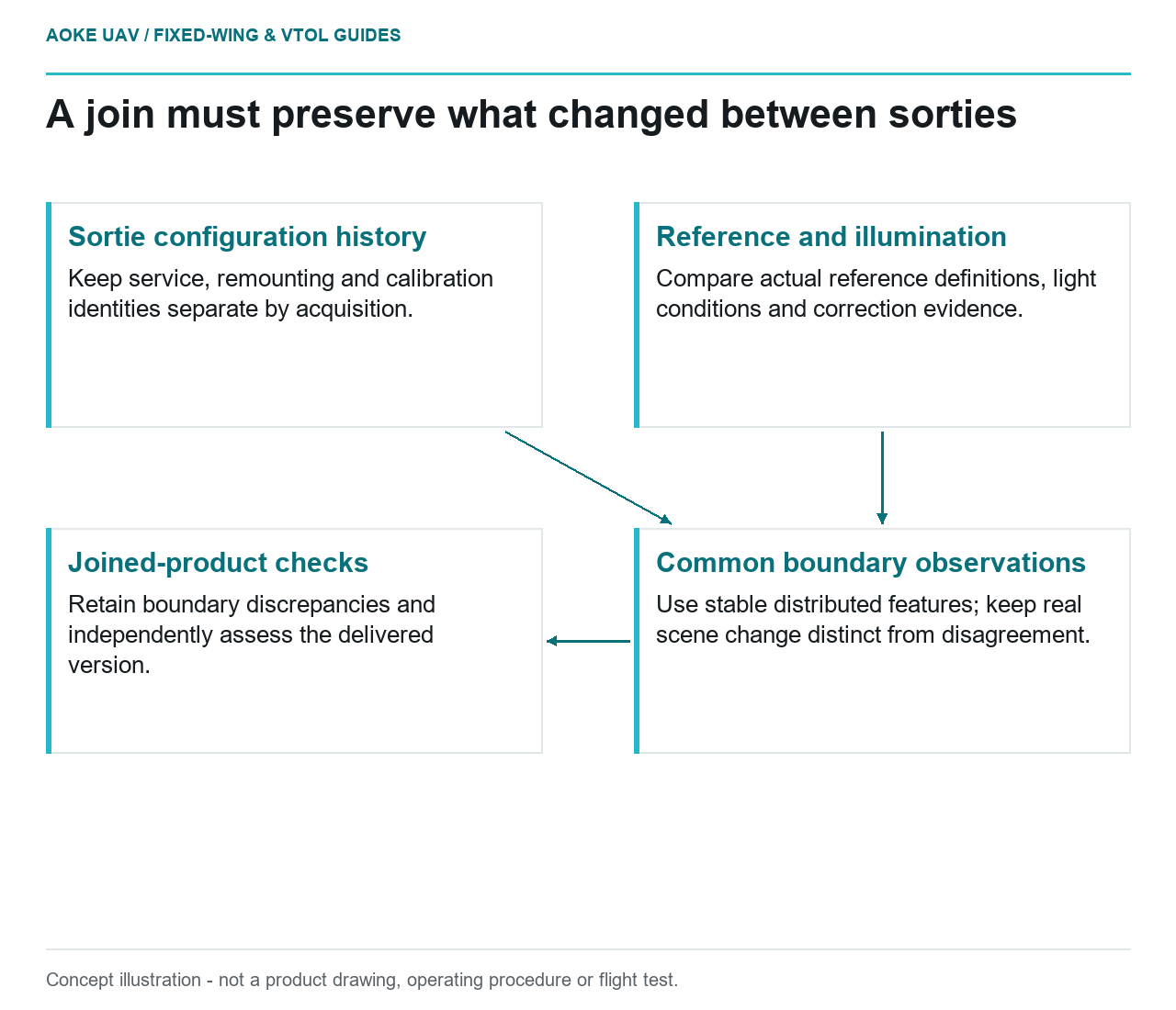
- Sortie configuration history: Keep service, remounting and calibration identities separate by acquisition.
- Reference and illumination: Compare actual reference definitions, light conditions and correction evidence.
- Common boundary observations: Use stable distributed features; keep real scene change distinct from disagreement.
- Joined-product checks: Retain boundary discrepancies and independently assess the delivered version.