Concept illustration
Read diagram notes
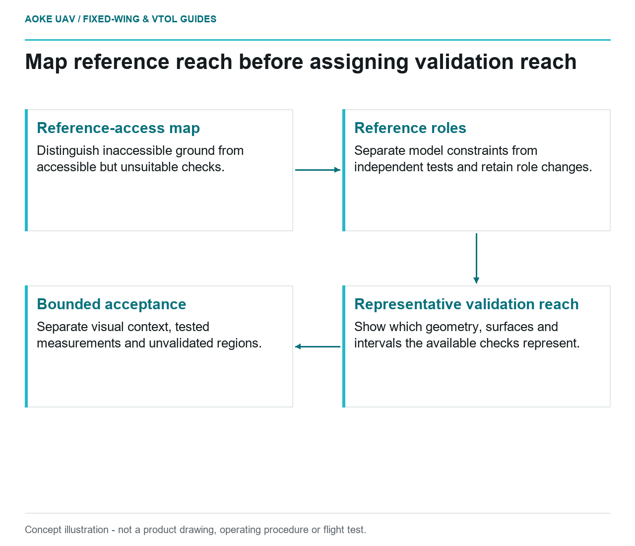
- Reference-access map: Distinguish inaccessible ground from accessible but unsuitable checks.
- Reference roles: Separate model constraints from independent tests and retain role changes.
- Representative validation reach: Show which geometry, surfaces and intervals the available checks represent.
- Bounded acceptance: Separate visual context, tested measurements and unvalidated regions.
Map the reference problem before acquisition
Imagine a hypothetical civil pipeline corridor passing through open service yards, fenced land and a steep inaccessible reach. A large industrial fixed-wing campaign is proposed to create a monitoring baseline, but ground access is available only at the yards. The project must decide what reference evidence it can obtain and what claims remain untested. This is an illustrative planning scenario, not an GAUTEN survey or a statement that any specific accuracy has been achieved.
Prepare a reference-access map alongside the acquisition area. Distinguish inaccessible land from locations that are accessible but unsuitable for the intended check. Ask the owner what permissions, existing survey records and alternative observations are actually available. Do not assume that an airborne solution eliminates the need to justify the resulting measurements.
Separate model constraints from independent checks
USGS imagery guidance explains that ground control constrains the geometric solution and that withheld points in calibration trials can provide validation evidence. It also emphasizes spatial and elevation distribution. Those concepts make the role of each reference observation important, not merely the total number of points listed in a report. [1]
For the hypothetical fixed-wing baseline, identify points used to adjust the product separately from points reserved to assess it. Preserve the survey method, coordinate reference and uncertainty of the reference observations. If a point changes role during processing, record the change and avoid continuing to describe it as independent for that same adjustment.
The USGS 3DEP lidar specification requires checkpoints independent of calibration control and discusses their distribution across the project and land-cover conditions. This is a program-specific example of representative validation. Its detailed quantities and thresholds are not automatically adopted for a civil UAV corridor or for photogrammetric data. [2]
Describe what the accessible evidence represents
In the scenario, checks at the yards can support an assessment at those checked locations. Ask whether that evidence is representative of the inaccessible reach’s geometry, surface visibility and processing conditions. If the relationship is not established, say the reach lacks representative independent validation instead of assigning the same tested status everywhere along the route.
Request a spatial view of control and check locations with the proposed monitoring units. It should make the unsupported interval obvious to a non-specialist client. Keep approximate historical reference information distinct from newly measured checks, and identify what documentation exists for each. A reference value is not automatically suitable merely because it already appears in the owner’s GIS.
USGS cautions that ground sample distance does not directly determine geometric accuracy. Therefore, sharper imagery or a favorable nominal navigation specification should not be used to erase an untested geographic interval. The project needs evidence about its actual delivered measurements, with an explicit account of the remaining limitation. [1]
Agree a bounded acceptance scope
Before commissioning the campaign, propose separate acceptance statements for visual context, tested measurements and unvalidated regions. The owner may accept an overview for planning while withholding a more demanding measurement use. Record that decision and its limitations rather than describing acceptance as proof that the entire corridor has uniform accuracy.
Ask the survey specialist which additional evidence could address the inaccessible reach. Options must be assessed against the real site and measurement task; this article does not prescribe entry to hazardous ground, substitute an unverified dataset or authorize a flight change. If no suitable evidence can be obtained, narrow the intended use or consider another method instead of manufacturing a validation result.
The fixed-wing handover should preserve the reference-access map, source observations, test results and unresolved intervals. A future campaign can then target the exact evidence gap rather than repeating the same unsupported assumption. Honest disclosure of sparse independent reference makes the baseline more useful because the client knows where a comparison is supported and where further work is required.