Define the measurement and intended use
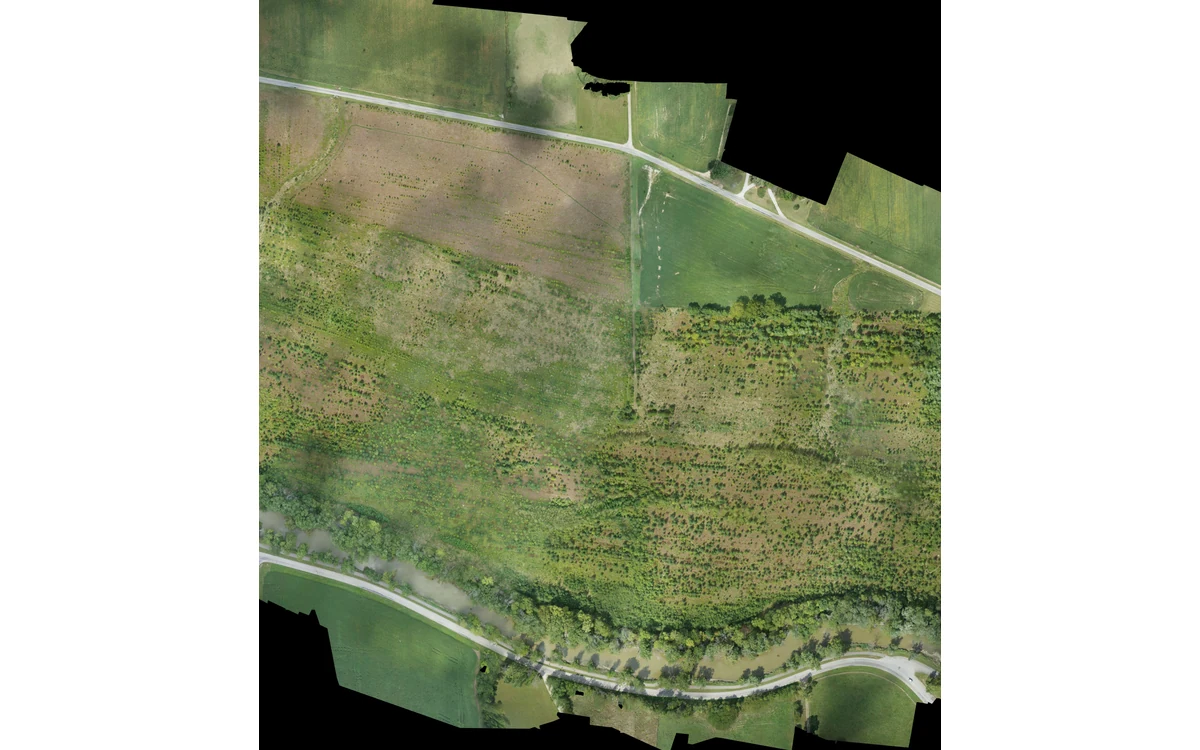
Consider a hypothetical regional drainage-planning survey using a large industrial fixed-wing UAV. The client asks for a map, but the integration team must first ask what decisions that map will support. A visually complete orthomosaic, a surface model and a terrain product are different proposed outputs. USGS describes imagery, point clouds and elevation models within its calibration guidance; it also treats acquisition, calibration and verification as interdependent activities. [1]
For this scenario, write a deliverable schedule before discussing aircraft endurance. Give each output a name, intended measurement, required coverage and acceptance method. Ask whether the drainage team needs visible surface features or elevations interpreted as ground. Identify who will resolve ambiguous areas and how limitations will accompany the files. This is an editorial planning approach, not a claim that an unspecified sensor can produce every requested product.
Accuracy versus visual completeness
Keep pixel sampling, positional accuracy and completeness in separate columns. USGS explicitly warns against assigning higher accuracy simply because image ground sample distance is smaller; control quality and image geometry remain important. A convincing mosaic therefore does not, by itself, substantiate a measurement tolerance. [1] In the hypothetical brief, request both the intended sampling and independent evidence for the final measurements, rather than accepting a single camera-resolution figure.
Name the horizontal and vertical reference information before acquisition. As a scoped example, the USGS Lidar Base Specification requires a coordinate reference system agreed in advance for 3DEP lidar work, including documentation of its horizontal and vertical definition. [5] That is useful contract-design context, not a rule automatically imposed on every UAV survey. The fictional client and survey specialist must select requirements applicable to their own project.
Payload and platform constraints
Work backward from those outputs to the proposed installation. In our fixed-wing scenario, ask the payload integrator to demonstrate that the selected camera, navigation records and processing method address the measurement request. Ask the aircraft team separately whether that payload can be carried and operated within the documented aircraft configuration. Do not substitute a general camera brochure for evidence about the installed window, mounting arrangement or usable acquisition geometry.
For a large fixed-wing platform, make useful data collection a distinct part of the mission proposal. Ask where aligned survey strips begin, which images are excluded during manoeuvres, and what happens at the project edges. If a fixed-wing VTOL platform is proposed, require the plan to distinguish takeoff and transition from accepted survey capture. These are questions for configuration-specific review, not suggested turn radii, speed settings or an assurance of flight feasibility.
Acceptance evidence before acquisition
Define the handover package while changes are still affordable. The 3DEP lidar deliverables provide a concrete example: acquisition and processing descriptions, control and checkpoint records, reference-frame information and explanations of anomalies accompany data. [6] Our hypothetical imagery project need not copy that entire specification. Instead, negotiate which equivalent records are necessary to interpret its outputs, reproduce processing choices and understand where the requested measurement is unsupported.
Close the planning meeting with an acceptance matrix: output, spatial extent, reference definition, evidence file and reviewer. Record what will trigger targeted reacquisition, a qualified delivery or rejection. Leave unresolved requirements visible rather than silently choosing them in processing software. The resulting decision is not simply which large fixed-wing UAV to buy; it is whether a particular acquisition and verification chain can support a clearly defined civil mapping deliverable. No field performance or successful acceptance is asserted here.
For the illustrative deliverable schedule, make the drainage surface entry identify whether it represents visible surfaces or interpreted ground, the agreed reference definition, the accepted spatial extent and the evidence needed for its intended use. Put the orthomosaic in a separate entry. Require an explicit decision if the two products have different accepted boundaries. This prevents the large fixed-wing acquisition proposal from answering an elevation requirement with attractive imagery alone.
Related reading
Sources
- [1] Guidelines for Calibration of Uncrewed Aircraft Systems Imagery
- [5] Lidar Base Specification: Data Processing and Handling Requirements
- [6] Lidar Base Specification: Deliverables
Visual summary
Concept illustration
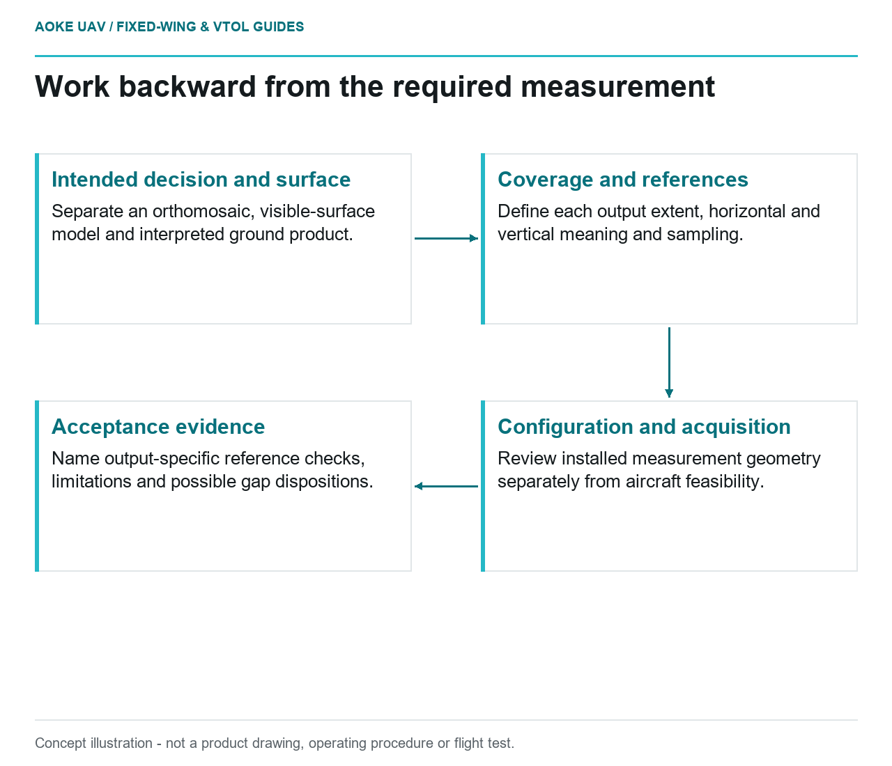
Read diagram notes
- Intended decision and surface: Separate an orthomosaic, visible-surface model and interpreted ground product.
- Coverage and references: Define each output extent, horizontal and vertical meaning and sampling.
- Configuration and acquisition: Review installed measurement geometry separately from aircraft feasibility.
- Acceptance evidence: Name output-specific reference checks, limitations and possible gap dispositions.