Concept illustration
Read diagram notes
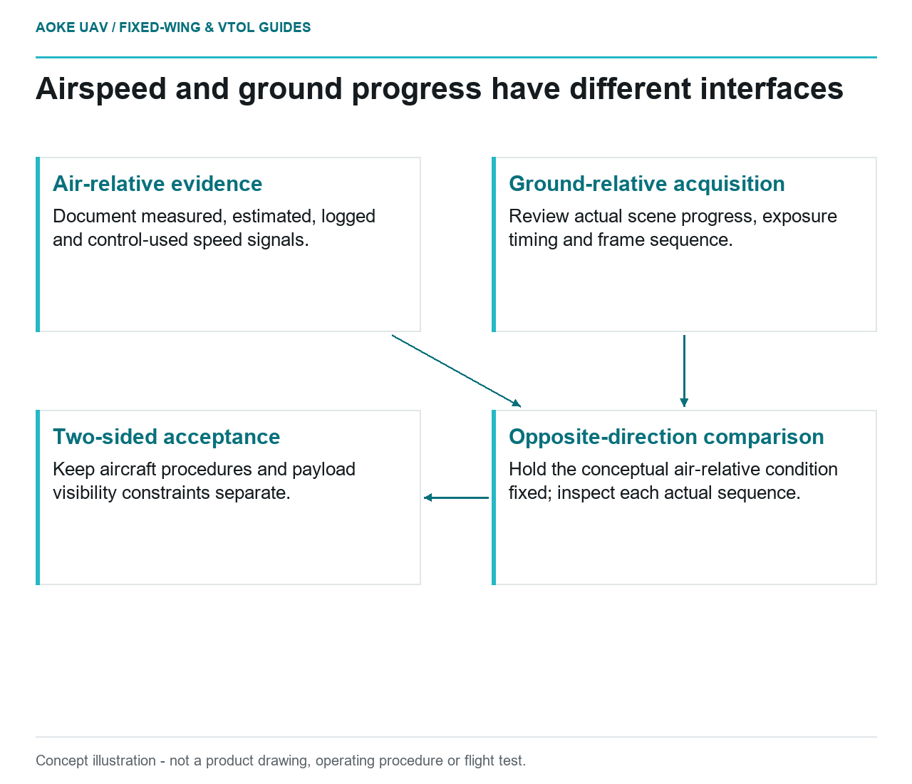
- Air-relative evidence: Document measured, estimated, logged and control-used speed signals.
- Ground-relative acquisition: Review actual scene progress, exposure timing and frame sequence.
- Opposite-direction comparison: Hold the conceptual air-relative condition fixed; inspect each actual sequence.
- Two-sided acceptance: Keep aircraft procedures and payload visibility constraints separate.
Aircraft control uses air-relative conditions
A camera request to slow the ground scene is not an aircraft speed specification. Consider a hypothetical large fixed-wing aircraft carrying an inspection camera along a civil infrastructure corridor. The payload team wants distinguishable surface evidence; the flight team must operate the actual aircraft within its documented envelope. Define their interfaces separately: airspeed describes motion relative to the surrounding air, whereas ground speed describes progress relative to the surface being photographed.
ArduPilot’s Plane documentation illustrates why an airspeed label needs context. It distinguishes displaying and logging airspeed from using sensor readings in control, explains calibration and warns that sensor failure or miscalibration can produce serious flight-control problems. [1] Those software-specific observations are not settings for an unspecified large aircraft. Ask the integrator which speed signal was measured, estimated, logged and used by the installed system before interpreting a mission record.
Images move over the ground
For the hypothetical acquisition brief, ground progress is the relevant input when asking how far the viewed scene changes between captures. Exposure timing adds another question: what motion occurs while each image is recorded? These are proposed payload checks, not a prescription to alter aircraft limits. Request exact camera timing behaviour, including whether a command time and the actual exposure time are recorded separately. Do not assume the navigation log and image clock already share a verified time reference.
Keep a worksheet with distinct fields for airspeed evidence, ground-track evidence, image events and the camera’s documented acquisition constraints. This is a proposed integration tool for preventing ambiguity, not a flight procedure. The USGS guidance treats acquisition quality, calibration and metadata as parts of a defensible imagery workflow, and cautions against inferring geometric accuracy directly from ground sample distance. [2] Neither a speed value nor a pixel-size label independently proves the requested inspection feature is usable.
Headwind and tailwind acquisition differences
As a conceptual comparison, hold the air-relative flight condition constant and change the along-route wind component. Ground progress then differs between opposite directions. For this proposed fixed-wing mission, compare the capture records from both directions instead of assuming that identical controller targets produce identical image sequences. State the comparison’s assumptions explicitly; turns, changing wind, terrain height and payload orientation must not be silently treated as identical.
The practical question is whether the actual sequence supports the required observations. For this example, reviewers would compare frame spacing, raw sharpness and the presence of the feature in successive views. They would not accept the outward leg as proof that the return leg is equally usable. This is an original evidence-selection proposal. Any resulting need to change camera operation or acquisition design belongs in the integrator’s review, not in an instruction to fly below an undocumented airspeed.
An image gap also needs a causal investigation rather than a speed-only explanation. In the proposed review, check whether the camera actually captured the expected frames, whether timestamps align and whether the review used original files. ArduPilot documents both sensor-based and sensorless airspeed contexts, so a logged airspeed value needs its configuration history. [1] A reviewer should avoid labelling every discrepancy as wind when the underlying signal or acquisition record has not been established.
Coordinate aircraft and payload constraints
Make the handoff a two-sided acceptance discussion. The flight team supplies the applicable aircraft procedures and the provenance of speed data. The payload team supplies the camera documentation and representative evidence of visibility. The owner supplies the observation question. For a large fixed-wing civil monitoring assignment, this prevents image requirements from quietly becoming aircraft operating commands, while also preventing successful navigation from being treated as proof of adequate imagery.
Close the hypothetical review with a record of unresolved constraints. If the requested feature cannot be documented from an acceptable fixed-wing acquisition, narrow the deliverable or choose another inspection method. Retain calibration and uncertainty information with the data, following the USGS emphasis on metadata for judging suitability. [2] This explainer sets no safe speed, shutter setting, sensor-failure response or legal operating permission; those require the exact aircraft, payload and applicable operational documentation.
Related reading
- Headwind, Ground Speed and Fixed-Wing Mission Energy
- Exposure Time and Motion Blur in Fixed-Wing Mapping