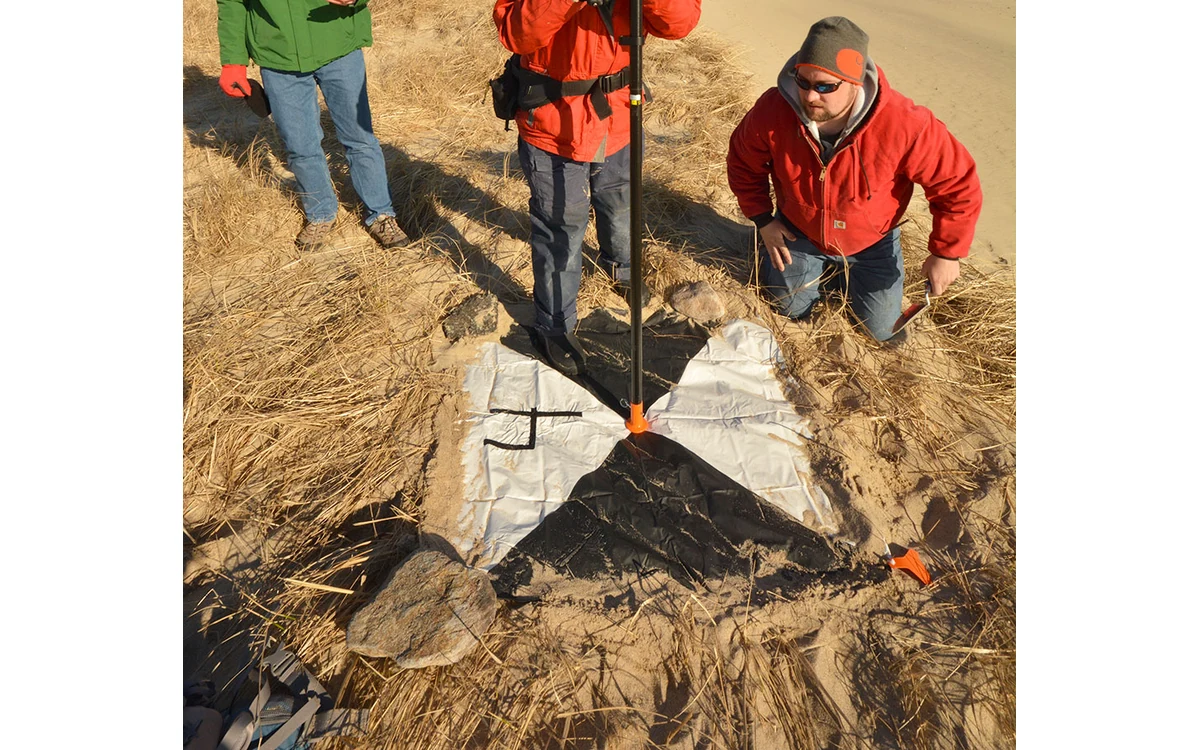
Control and checks have different roles
A hypothetical large fixed-wing UAV has collected imagery for a civil mapping block. The processing report shows small residuals at its ground control, and the client asks whether those figures prove the accuracy of the finished map. The first question is which observations influenced the solution. A point used to pull an adjustment toward its surveyed coordinate is performing a different job from a reference observation reserved to test the resulting product.
USGS describes cross-validation in which one subset of ground points is used for calibration and the remainder becomes validation points for that trial. [1] In the separately scoped 3DEP lidar specification, calibration control must not be used as checkpoints, and checkpoints form an independent set for vertical accuracy assessment. [5] Neither source justifies presenting control residuals as independent final-product evidence, nor does the lidar rule automatically govern every imagery contract.
Reference measurement uncertainty
USGS emphasizes that the accuracy of checkpoints determines how well data quality can be validated. [1] For this hypothetical project, require the survey report to establish how the reference observations were obtained and what uncertainty evidence accompanies them. A coordinate written with many decimal places is not a substitute for that record. Do not declare an achieved map tolerance that the reference measurements are incapable of resolving.
Identify the coordinate reference system and the meaning of height before comparing observations. Preserve the measurement epoch and transformation information where relevant to the selected method. Have the responsible survey specialist confirm that the delivered product and reference coordinates can be compared in the intended frame. This proposed evidence requirement addresses comparability; it does not supply a universal GNSS procedure, an instrument accuracy or a numerical threshold for all large fixed-wing projects.
Spatial representation of checks
In the example, a convenient set of independent points near the aircraft recovery area would leave a separate question about the remote parts of the block. Plot the checks against the intended measurement extent, terrain differences and known acquisition concerns. Ask what each group represents and what it does not. Preserve spatially specific limitations rather than allowing a single aggregate statistic to imply that every part of the survey has been equally assessed.
For the large industrial fixed-wing workflow, connect each check to the precise delivered product and version under assessment. A check of an elevation surface is not automatically evidence for every measurement extracted from an orthomosaic. Decide in advance which output and coordinate components the assessment concerns. If the planned checks cannot address a required area or measurement type, identify that gap before describing the product as ready for acceptance.
Report residuals and exclusions transparently
The 3DEP lidar deliverables illustrate a traceable distinction between control used in calibration and checkpoints used in validation, with ground survey documentation and point identifiers. [6] Use that as contextual support for a clear evidence package, not a claim of 3DEP compliance for the fictional imagery mission. Keep the contractual assessment method explicit, including which observations belong to the final assessment and how their roles were protected during processing.
Report discrepancies using the method actually agreed for the project. Preserve the original observations and document any exclusions with their reasons; do not quietly discard an inconvenient difference to improve a headline. If a reference point is later used to revise the adjustment, record its changed role and reconsider whether it remains independent evidence. The deliverable is a reproducible assessment trail for a fixed-wing mapping product, not a made-up accuracy result or an assurance that independence alone guarantees sufficient coverage.
For this example, a checkpoint-role register would preserve whether each reference observation was reserved, tested, excluded for a documented reason or later promoted into the adjustment. Associate every role change with a product revision. This makes a common review question answerable: is the reported assessment still independent of the map version now being delivered? It also prevents the project from reusing an earlier assessment label after processing changes have altered what the reference points actually test.
Related reading
Sources
- [1] Guidelines for Calibration of Uncrewed Aircraft Systems Imagery
- [5] Lidar Base Specification: Data Processing and Handling Requirements
- [6] Lidar Base Specification: Deliverables
Visual summary
Concept illustration
Read diagram notes
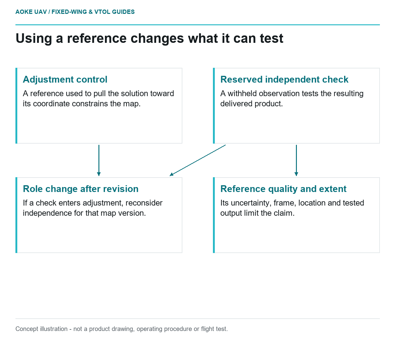
- Adjustment control: A reference used to pull the solution toward its coordinate constrains the map.
- Reserved independent check: A withheld observation tests the resulting delivered product.
- Reference quality and extent: Its uncertainty, frame, location and tested output limit the claim.
- Role change after revision: If a check enters adjustment, reconsider independence for that map version.