Concept illustration
Read diagram notes
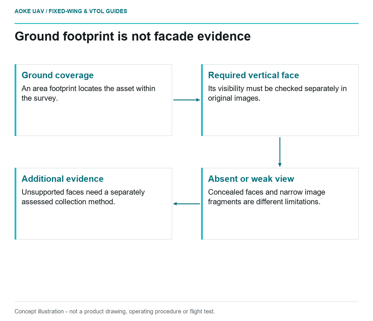
- Ground coverage: An area footprint locates the asset within the survey.
- Required vertical face: Its visibility must be checked separately in original images.
- Absent or weak view: Concealed faces and narrow image fragments are different limitations.
- Additional evidence: Unsupported faces need a separately assessed collection method.
Ground coverage and facade coverage are different project questions. In a hypothetical large fixed-wing civil survey, a client expects the area-mapping dataset to support review of vertical infrastructure faces. Before discussing image resolution, the team needs to establish whether the required faces appear in suitable original views. A mapped footprint is not a substitute for that visibility evidence.
Viewing geometry and occlusion
USGS imagery guidance describes camera exterior orientation as position and orientation at photography time and connects acquisition geometry with geometric calibration. Reconstruction uses corresponding features observed in multiple images. Those principles explain why the actual views matter; they do not certify a particular aircraft trajectory for close inspection. [6]
For the hypothetical fixed-wing block, the reviewer would identify the specific face and compare it with the available camera views. The question would be whether the required feature is visible, concealed by another part of the structure or represented only as a narrow image fragment. These are scene-specific observations, not a numerical standoff prescription.
The review would distinguish an absent view from an image that exists but lacks suitable detail or geometry. Those conditions call for different evidence requests. No processing setting should be presented as a way to observe a surface for which the input images contain no substantiated view.
Facade visibility versus ground coverage
The proposed evidence package would map required faces independently of the ground footprint. Each face would be associated with original image identifiers and a stated observation purpose. A feature could be adequate for broad contextual identification while remaining inadequate for the client’s detailed inspection question.
USGS cautions that GSD has no direct relationship with guaranteed geometric accuracy and emphasizes the quality of control and tie points. The same caution prevents a nominal ground-pixel size from certifying every facade observation in an area-mapping dataset. [6]
In the example, a smooth orthomosaic would remain useful for locating the asset within the survey. It would not be promoted into an inspection record for unseen vertical surfaces. The report would retain that difference in purpose even if both products are delivered in the same project folder.
Platform and payload geometry constraints
A large fixed-wing platform would require its own acquisition feasibility review before any additional view is promised. The proposed planning questions concern camera field of view, installed direction, structural obstructions and the relationship between approved flight paths and required observations. No aircraft maneuver, close-flight distance or operational authorization is provided here.
If the aircraft carries fixed nadir optics, the team would not assume that a change in processing output creates the views of a differently oriented camera. If another payload direction is proposed, its actual mounting and calibration evidence would have to be reviewed. Physical access to the desired line of sight is an integration question before it becomes a photogrammetric one.
USGS recommends documenting the equipment configuration and acquisition pattern, along with the calibration information supporting the product. Those records are essential context for the example visibility assessment. A report should identify the configuration used, not a more capable configuration available only in a proposal. [6]
Scope an additional collection method
The client would first separate the unsupported face from the observations already useful for the area survey. The responsible team could then define an additional collection or ground-based method around the actual feature requirement. The new method would need its own suitability, safety and acceptance review; no method is universally selected by this article.
The final example scope would name which faces are covered, what type of interpretation is supported and what remains outside the dataset. It would preserve image links and explicit visibility limitations. This keeps a large-area nadir mission valuable for its demonstrated purpose without claiming that broad civil mapping has automatically completed a detailed vertical-face inspection.
Related reading
- Oblique Imagery on Fixed-Wing Platforms
- Bridge Reconnaissance Is Not a Substitute for Close Inspection