Concept illustration
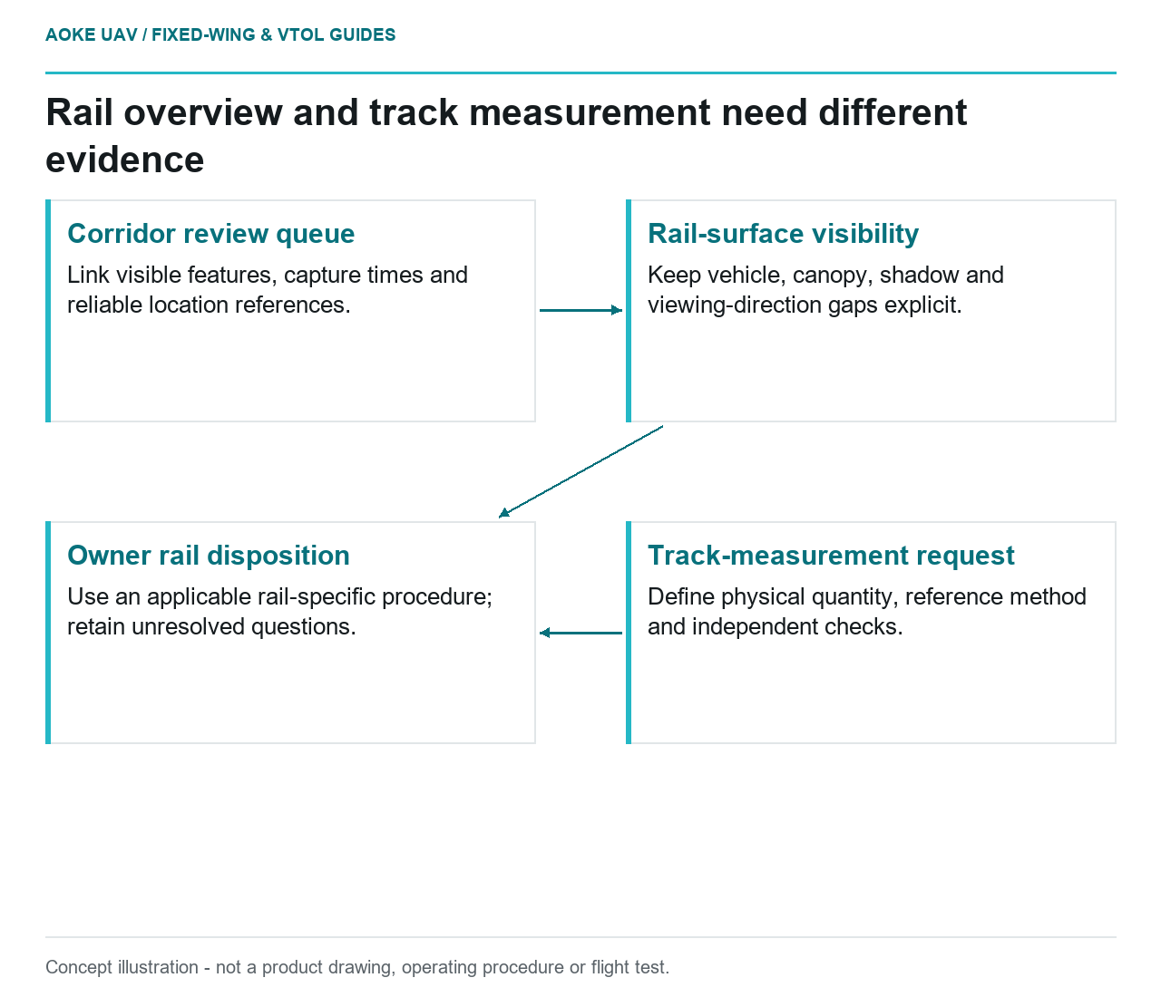
Read diagram notes
- Corridor review queue: Link visible features, capture times and reliable location references.
- Rail-surface visibility: Keep vehicle, canopy, shadow and viewing-direction gaps explicit.
- Track-measurement request: Define physical quantity, reference method and independent checks.
- Owner rail disposition: Use an applicable rail-specific procedure; retain unresolved questions.
A useful rail overview answers where a reviewer should look next; it does not automatically answer whether the track meets a measurement requirement. Consider a hypothetical civil mission in which a large fixed-wing UAV records a railway corridor for an infrastructure owner. The proposed deliverable is a georeferenced overview with observation locations. It is not a validated track-geometry system, an GAUTEN field result, or a substitute for the owner’s inspection responsibilities.
Overview features and accessible evidence
For this proposed workflow, start with questions that an overview can actually investigate: which sections have usable coverage, where vegetation obscures the view, and which visible changes deserve an owner’s closer review? An annotation should identify the image, capture time, approximate location and observed feature. Describe an apparent obstruction as an observation requiring confirmation, rather than deciding its operational significance from the airborne image.
Separate coverage from interpretation. A corridor segment can appear on an overview map while its rail surfaces remain hidden by a passing vehicle, canopy, shadow or the viewing direction. Require the analyst to mark those intervals as unobserved for the relevant question. A blank anomaly layer must not silently mean that an inspector has cleared every part of the railway.
Resolution and viewing geometry
The USGS calibration guidelines distinguish image sampling from geometric accuracy: ground control and tie-point quality contribute to the accuracy of derived data independently of ground sample distance. That is a useful limit on what a sharp-looking corridor image proves, not a rail-specific inspection method. [2]
In the hypothetical fixed-wing acquisition, examine original frames before accepting a stitched overview as measurement evidence. Ask whether the feature of interest is visible from the selected direction and whether image processing has obscured a gap or uncertain edge. Require a representative demonstration for the actual question, not a screenshot enlarged until rails look crisp. Do not turn a map scale or pixel label into a statement of track-condition accuracy.
A large fixed-wing aircraft should be scoped here as a moving corridor-observation platform. Do not assume the plan includes stationary close views between rails or a safe opportunity to circle a constrained location. If a necessary surface cannot be observed within the approved mission design, the deliverable needs a coverage exception and another investigation route.
Measurement requires a defined reference
Before using the word measurement, ask the owner to name the quantity, coordinate convention, reference and acceptance method. An image-derived distance between two selected edges is not self-validating. Which physical features define those edges? How are they located in three dimensions? What independent evidence will test the result? Who has authority to decide whether the comparison is suitable for its intended use?
Require the proposal to distinguish control used to build the model from independent observations used to evaluate it. Keep the check locations, reference provenance and residuals available to reviewers. USGS emphasizes documenting calibration parameters and uncertainties in metadata; that principle supports traceability, but does not supply permissible railway geometry tolerances. [2]
A useful contract boundary is explicit: reconnaissance observations may populate a review queue; numerical geometry claims require an agreed rail-specific measurement procedure and validation evidence. This article has not established that procedure. No gauge, alignment, twist or safe-track threshold is inferred from the general imagery source.
Escalation to rail-specific inspection methods
In the proposed handover, each flagged location would receive an owner-assigned disposition: confirm with an appropriate inspection method, request improved observation, or retain as unresolved. The owner’s rail engineering team should specify the applicable method, access arrangements, reference equipment and decision authority. The flight team should not invent these requirements to make the overview look complete.
Make unresolved evidence useful rather than decorative. Include the nearest reliable location reference, original frame identifiers, a concise description of what is visible, and the precise question left unanswered. For example, ask whether an apparent feature needs an authorized track-level investigation; do not attach a safety verdict. This keeps fixed-wing coverage valuable without allowing a broad reconnaissance product to impersonate a different inspection system.
Related reading
- Corridor Mapping With a Fixed-Wing Platform
- Reporting UAV Survey Uncertainty Without False Precision